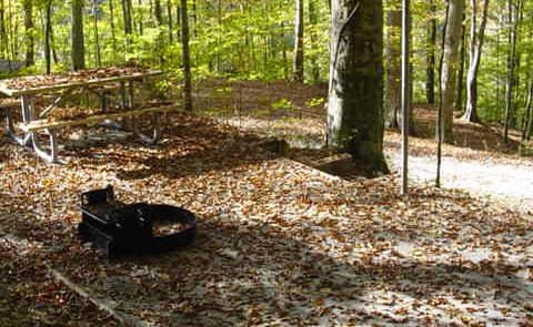
 1.3 mi from the trailhead
Alum Ford Campground
Campground · KY
7.5 mi one way · 858 ft climb · 848 ft high point
KY · OpenStreetMap contributors
Sheltowee Trace NRT Section 33 spans 7.5 miles one way, climbing 858 feet near Yahoo Falls and Nats Knob.
858 ft of gain and 834 ft of descent.
The closest places to sleep, measured from the trailhead.
Ranked the same way, within twenty-five miles.
What the trail reaches, measured from the start.
The route at the trailhead. Drag with two fingers, or hold a key to zoom.
Trail data: USFS, NPS, © OpenStreetMap contributors (ODbL). Elevation: USGS 3DEP via Mapzen terrain tiles. Nearby reading: Wikipedia. Download the trail and feature data.
Campground · TN
0.2 mi one way · 50 ft climb · Moderate
Mill Springs Battlefield National Monument · Camp under a mile away
No carrier reports signal at this spot.
Today: Sunny · wind 3 mph WSW
Hikes that read like this one, wherever they are.
3.2 mi one way · 665 ft climb
KY · Camp 3 mi away
9.3 mi one way · 1,918 ft climb
2.3 mi one way · 401 ft climb
KY · Camp 14 mi away
KY
2.7 mi one way · 407 ft climb
Daniel Boone National Forest · Camp 2 mi away

