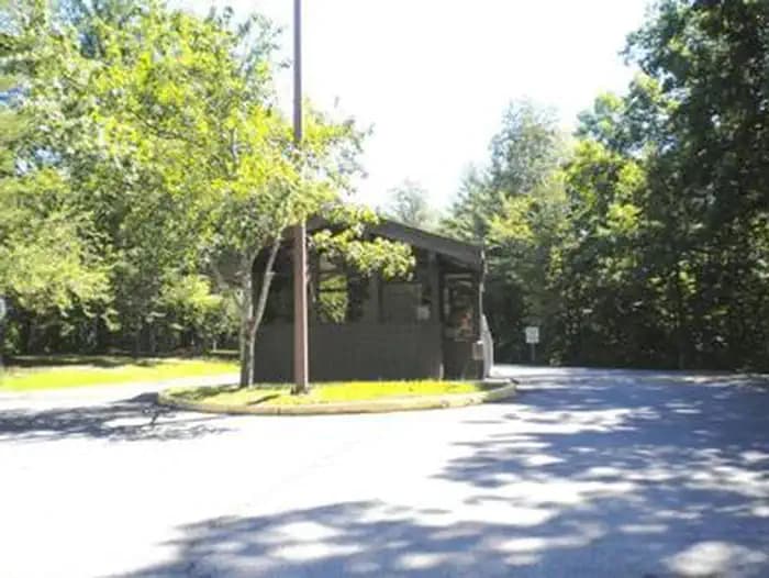
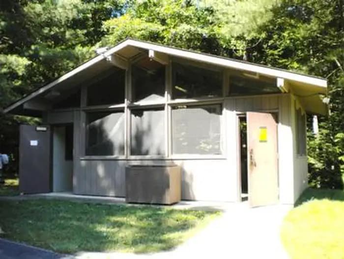
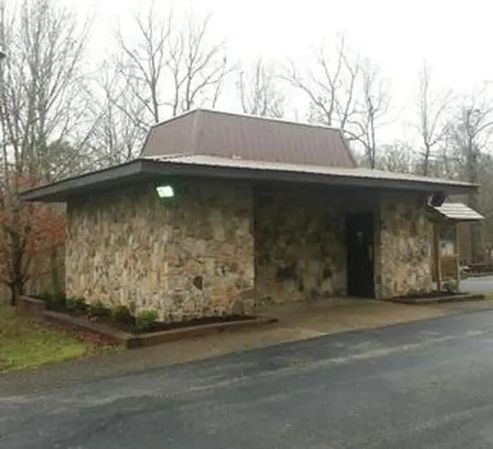
 10.0 mi from the trailhead
Laurel River Lake Picnic Area
Campground · KY

13.8 mi one way · 2,782 ft gain · 1,110 ft high point · Very hard
KY · OpenStreetMap contributors
This one-way Sheltowee Trace section follows 13.8 miles to Laurel River Lake, passing multiple waterfalls including Cumberland Falls and Dog Slaughter Falls. Climb is 2,782 feet.
2,782 ft of gain and 2,596 ft of descent.
The closest places to sleep, measured from the trailhead.
Ranked the same way, within twenty-five miles.
What the trail reaches, measured from the start.
The route at the trailhead. Drag with two fingers, or hold a key to zoom.
Trail data: USFS, NPS, © OpenStreetMap contributors (ODbL). Elevation: USGS 3DEP via Mapzen terrain tiles. Nearby reading: Wikipedia. Photos: Wikimedia Commons contributors, licensed as shown on each photo. Download the trail and feature data.
Campground · KY
9.4 mi out & back · 1,711 ft gain · Hard
Daniel Boone National Forest · Camp 4 mi away
Hikes that read like this one, wherever they are.

20.7 mi out & back · 2,847 ft gain · Very hard
Daniel Boone National Forest · Camp 3 mi away
11.1 mi out & back · 1,230 ft gain · Hard
KY · Camp 10 mi away
91.0 mi one way · 14,220 ft gain · Very hard
KY
13.8 mi out & back · 2,533 ft gain · Very hard
Daniel Boone National Forest · Camp 4 mi away
Today: Sunny · wind 5 mph W