 Editor's pick
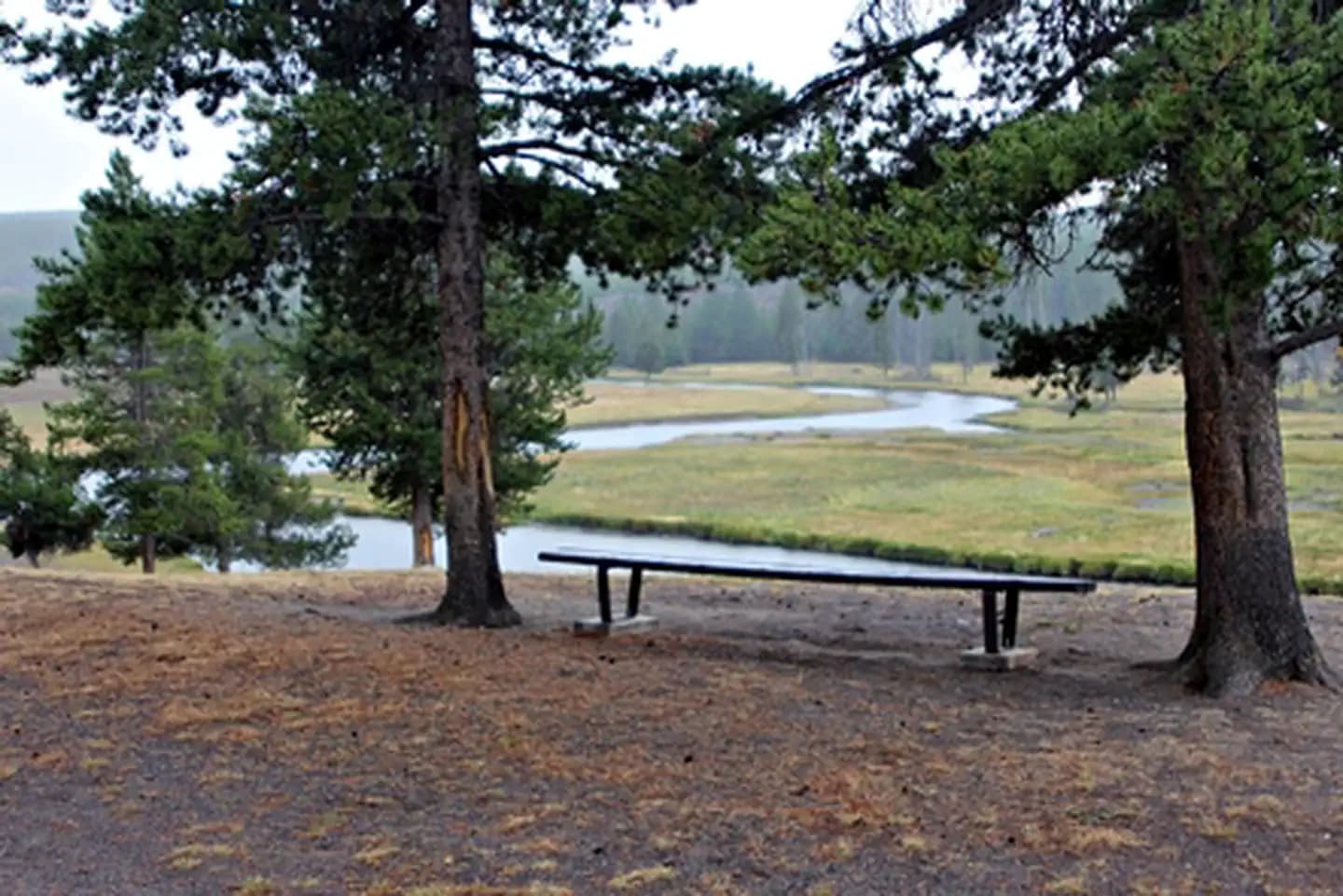
Madison Campground
Wyoming
- Sat63°
- Sun68°
- Looks good
Why: Sitting at the junction of the Firehole and Gibbon Rivers in Yellowstone, Madison is a favorite of anglers and wildlife watchers.
Bears active
Every park, campground, and stretch of public land in the U.S. on one map — with this week’s weather and honest cell signal for each one.
Free. No account, no ads, and nothing held back for a paid tier.
The best hikes in the country, ranked by what makes them worth the drive, with the camps nearby.
One tap and we'll rank the campable spots near you by how good Saturday and Sunday actually look — and tell you why.
Until we know where you are, three places we'd point a friend.
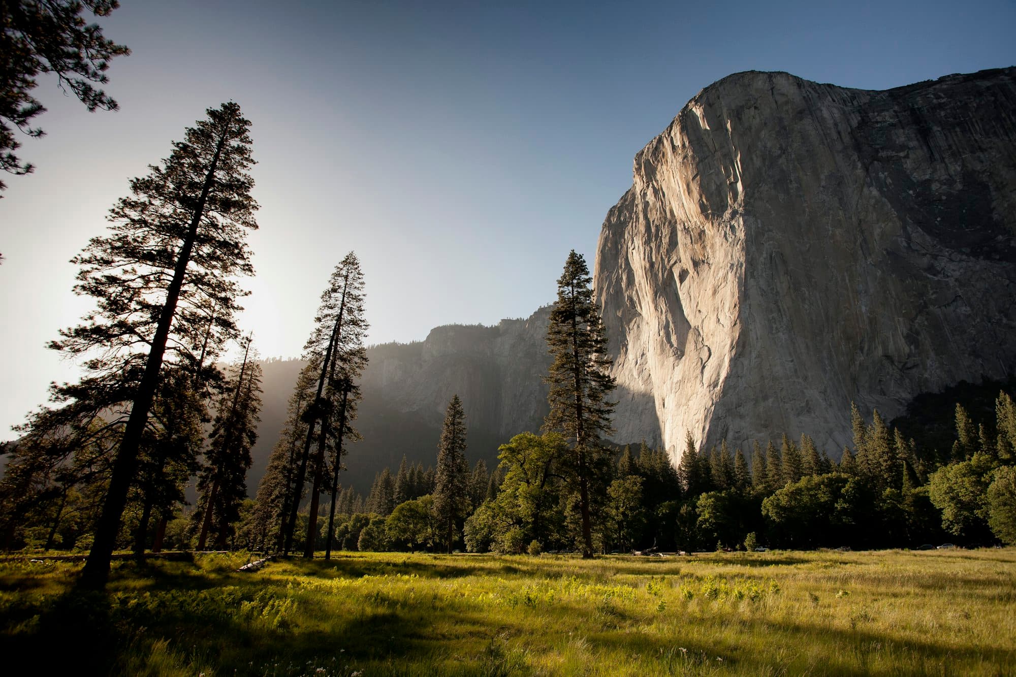
Editor's pickWyoming
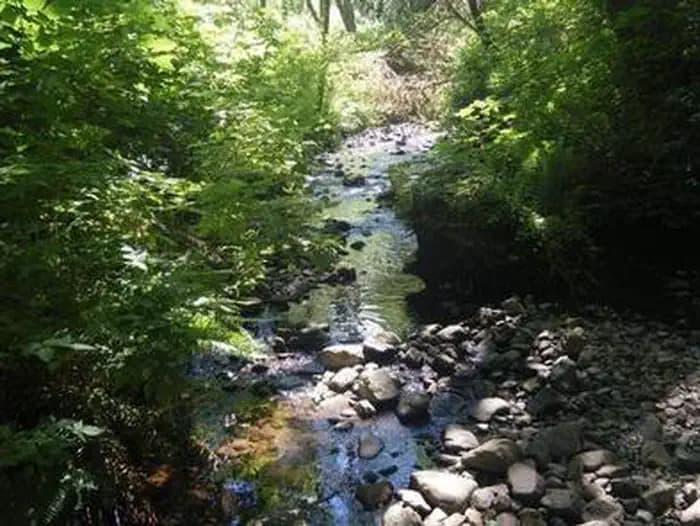
Why: Sitting at the junction of the Firehole and Gibbon Rivers in Yellowstone, Madison is a favorite of anglers and wildlife watchers.
 Editor's pick
Oregon
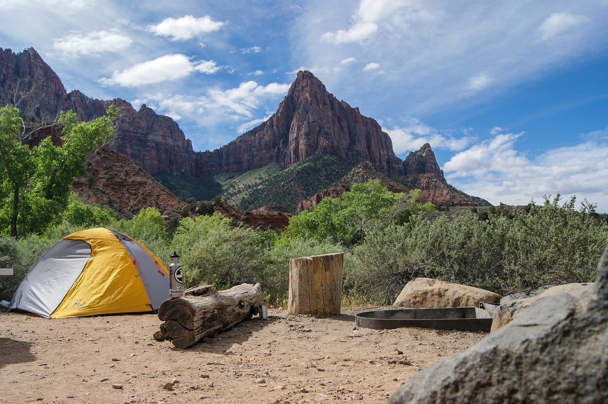
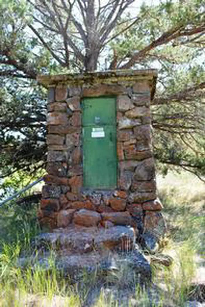
Why: Siuslaw National Forest on the central coast, 3 miles south of Yachats on US-101.
 Editor's pick
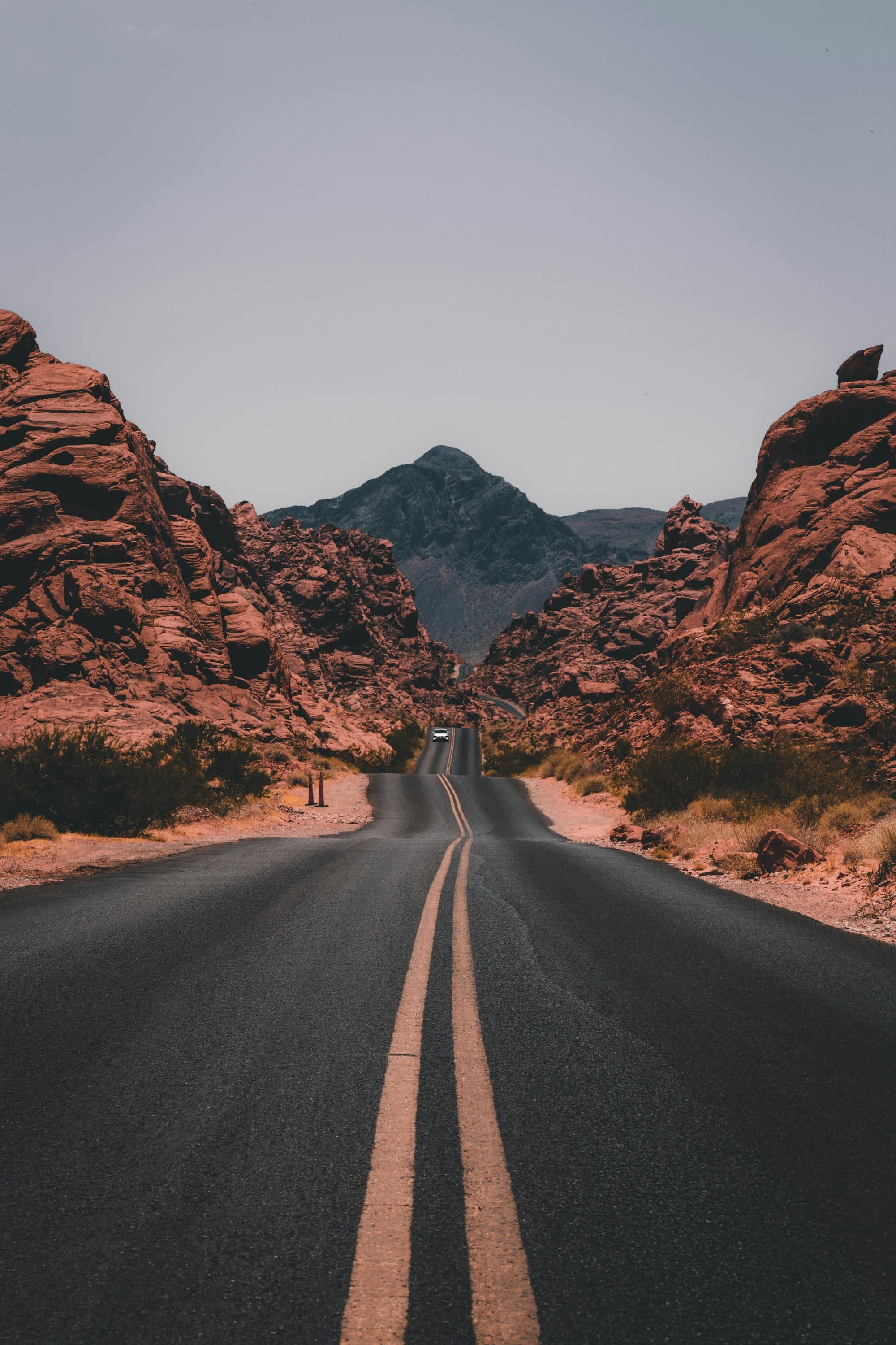
Why: BLM Burns District near Frenchglen at the foot of Steens Mountain, 30 sites on the Donner und Blitzen Wild and Scenic River.
Snow's melting out and the lakes are open.
We put them right on the site, so you stop juggling weather.gov, a coverage map, and four booking tabs.
A full 7-day forecast pinned to the campsite's own elevation — highs, lows, rain, and wind for the days you'll actually be there.
National Weather Service · refreshed hourlyCoverage by carrier for the exact spot — not the nearest town. So you know whether “I'll call when I get there” is a promise you can keep.
FCC coverage data · per carrier, per siteStraight into Recreation.gov with the site and dates filled in — and how many sites are open for those dates, checked before you go.
Recreation.gov · availability checked for your datesFrom the big-name parks to the quiet public land nobody lists. Pick a kind of place and we'll show you all of it on the map.
Drop sites, trailheads, and food stops onto a timeline. The weather and drive times fill themselves in. Your crew can follow along without making an account.
Every site, every drive, and every weather window on one timeline — and one link the crew can open without an account.
Public land sits on the same map as the campgrounds, with cell coverage by carrier before you leave the pavement.
The booking link carries the site and your dates through, so you are not hunting for the campground while it fills.
No account to make. No ads. No “pro” tier holding the weather hostage. Your saves and trips export whenever you want them.
60 national parks6,246 campgrounds430M acres of public landData from NPS, Recreation.gov, BLM, USFS, NWS, and the FCC