 10 mi from you
California Coastal Trail
- Ends at Mountain Lake
- Inside Golden Gate National Recreation Area
- 3,110 ft of climbing
14.2 mi loop · 3,103 ft gain · Very hard
Golden Gate National Recreation Area · Camp under a mile away
5.9 mi out & back · 1,033 ft gain · 317 ft high point · Moderate
Via Aptos Creek Fire Road (2.8 mi)
California · OpenStreetMap contributors
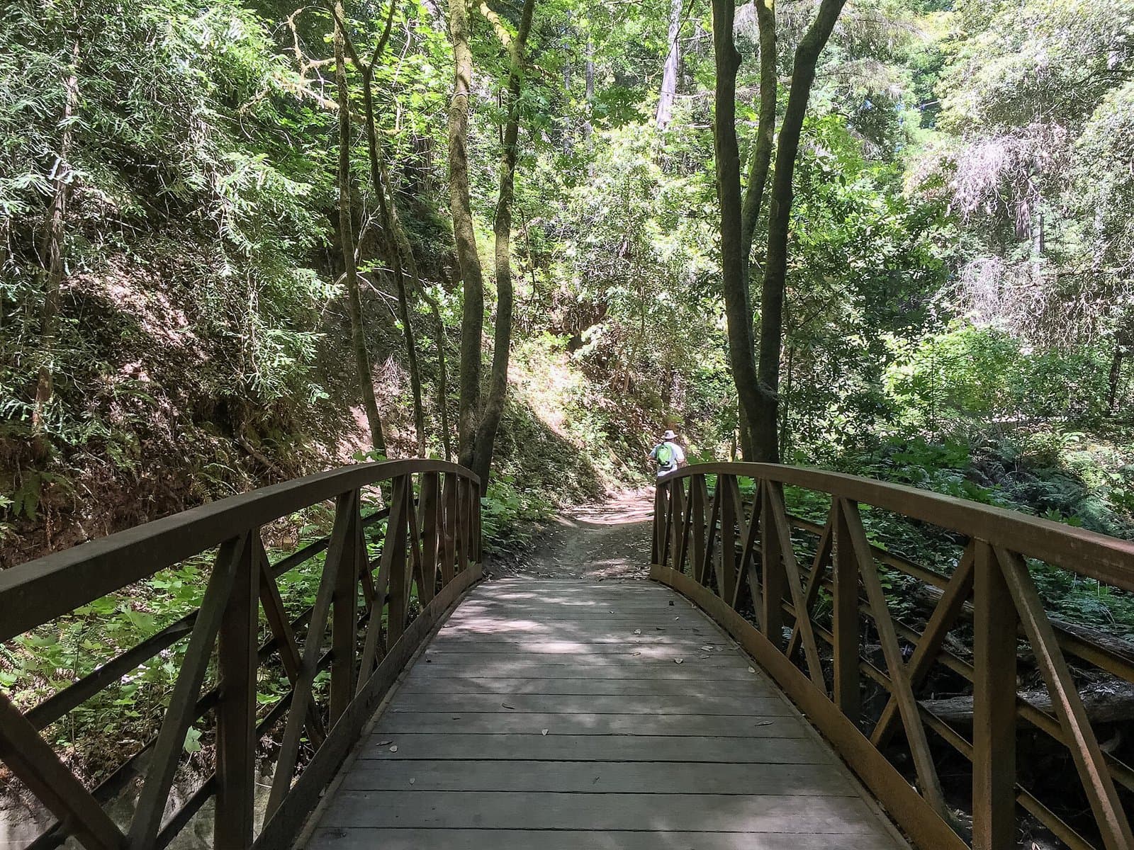
This 5.9 mi out-and-back via Aptos Creek Fire Road climbs 1,033 ft with views and nearby waterfalls.
1,033 ft of gain round trip.
What the trail reaches, measured from the start.
The hike from its start, the approach dashed. Drag with two fingers, or hold a key to zoom.
Trail data: USFS, NPS, © OpenStreetMap contributors (ODbL). Elevation: USGS 3DEP via Mapzen terrain tiles. Nearby reading: Wikipedia. Download the trail and feature data.
Ranked the same way, within twenty-five miles.
10 mi from you14.2 mi loop · 3,103 ft gain · Very hard
Golden Gate National Recreation Area · Camp under a mile away
 20 mi from you
12.9 mi out & back · 3,148 ft gain · Very hard
California
 17 mi from you
23.3 mi one way · 5,034 ft gain · Very hard
California
 21 mi from you
8.1 mi out & back · 1,944 ft gain · Hard
California
 5 mi from you
2.8 mi out & back · 829 ft gain · Moderate
California
 5 mi from you
3.2 mi out & back · 708 ft gain · Moderate
California
Today: Sunny · wind 3 mph NW
Hikes that read like this one, wherever they are.

13.6 mi one way · 3,581 ft gain · Very hard
California
3.4 mi out & back · 709 ft gain · Moderate
California
10.0 mi out & back · 2,936 ft gain · Very hard
California
14.5 mi out & back · 4,249 ft gain · Very hard
California