19 mi from you
Bay Area Ridge Trail - 03 - South Bay
- Ends at Lexington Reservoir
- 5,034 ft of climbing
23.3 mi one way · 5,034 ft gain · Very hard
California

12.9 mi out & back · 3,148 ft gain · 3,169 ft high point · Very hard
Via Bay Area Ridge Trail - 04 - San Francisco and Peninsula, the Loughry Woods Trail, the Service Road Trail, the Saratoga Gap Trail, and the Ridge Trail (5.5 mi)
California · OpenStreetMap contributors
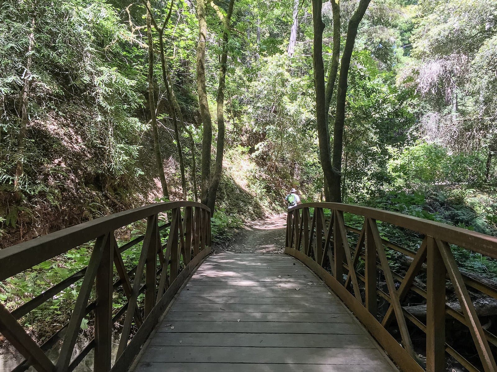
Castle Rock Trail reaches Castle Rock and Indian Rock peaks in 12.9 miles out and back, passing Castle Rock Falls and multiple viewpoints.
3,148 ft of gain round trip.
Ranked the same way, within twenty-five miles.
What the trail reaches, measured from the start.
The hike from its start, the approach dashed. Drag with two fingers, or hold a key to zoom.
Trail data: USFS, NPS, © OpenStreetMap contributors (ODbL). Elevation: USGS 3DEP via Mapzen terrain tiles. Nearby reading: Wikipedia. Photos: Wikimedia Commons contributors, licensed as shown on each photo. Download the trail and feature data.
8.1 mi out & back · 1,944 ft gain · Hard
California
Hikes that read like this one, wherever they are.

10.3 mi out & back · 2,509 ft gain · Very hard
California

8.1 mi out & back · 1,944 ft gain · Hard
California
2.4 mi out & back · 770 ft gain · Moderate
California · Camp 1 mi away
5.5 mi out & back · 2,229 ft gain · Hard
California · Camp 3 mi away
Wed: Sunny · wind 7 mph N