6.3 mi from the trailhead
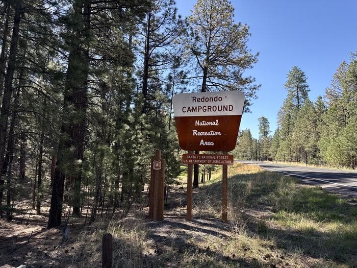
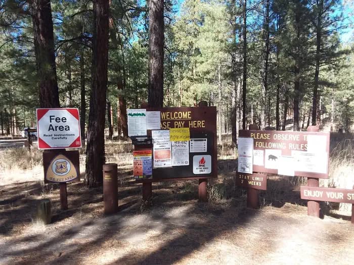
San Antonio Campground
Campground · New Mexico
18.6 mi one way · 1,322 ft gain · 8,799 ft high point · Hard
In Valles Caldera National Preserve · New Mexico · National Park Service
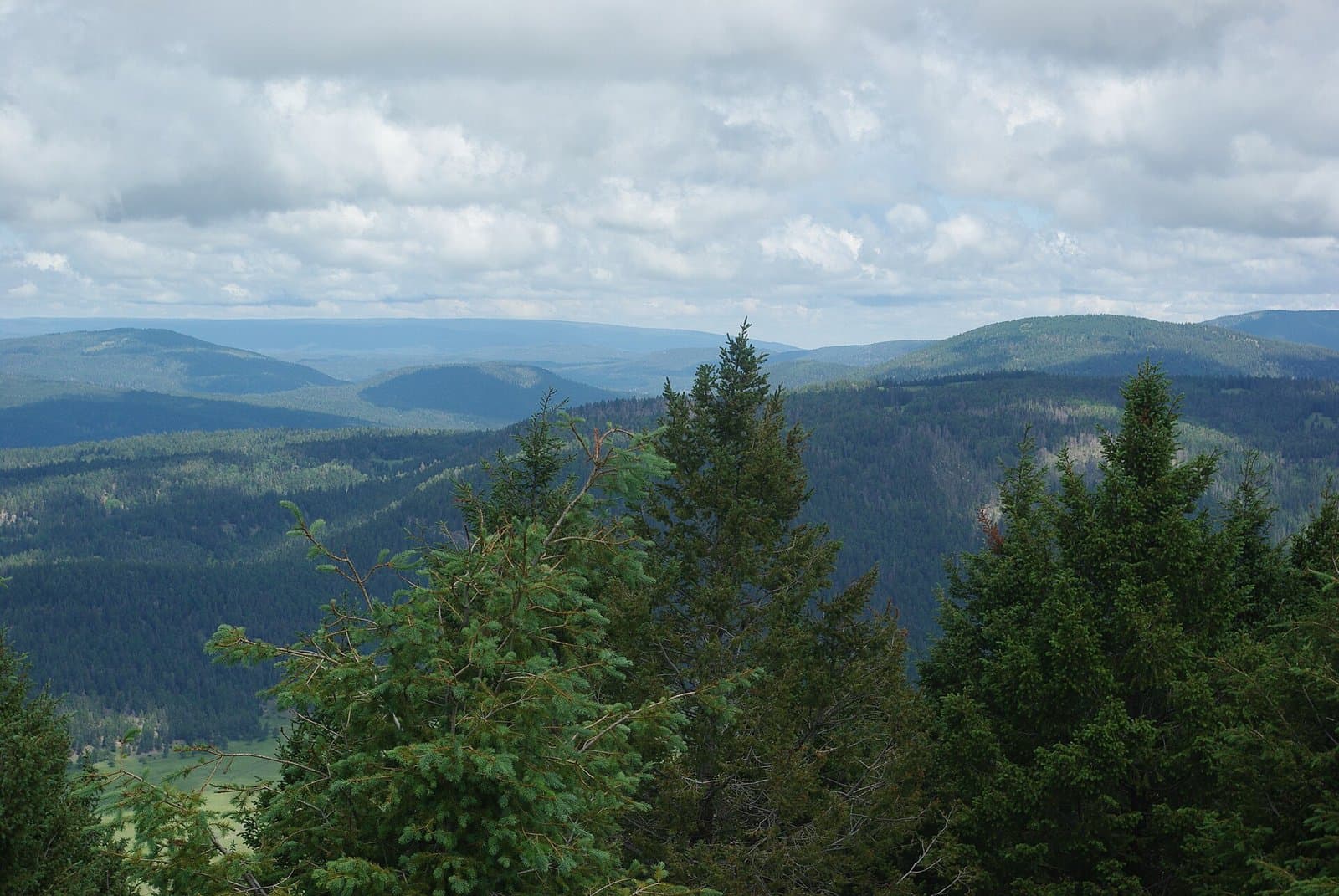
Backcountry Driving Route is an 18.6 mi one way route through Valles Caldera National Preserve climbing 1,322 ft to 8,799 ft. Cerro Piñon, Cerro la Jara, and Cerros de Trasquilar peaks sit nearby.
1,322 ft of gain and 1,028 ft of descent.
The closest places to sleep, measured from the trailhead.
Ranked the same way, within twenty-five miles.
What the trail reaches, measured from the start.
The route at the trailhead. Drag with two fingers, or hold a key to zoom.
Trail data: USFS, NPS, © OpenStreetMap contributors (ODbL). Elevation: USGS 3DEP via Mapzen terrain tiles. Nearby reading: Wikipedia. Download the trail and feature data.
Campground
15.3 mi loop · 1,123 ft gain · Hard
Valles Caldera National Preserve · Camp 8 mi away
Hikes that read like this one, wherever they are.

15.3 mi loop · 1,123 ft gain · Hard
Valles Caldera National Preserve · Camp 8 mi away
20.5 mi out & back · 2,426 ft gain · Very hard
Valles Caldera National Preserve · Camp 6 mi away

21.4 mi out & back · 3,177 ft gain · Very hard
Valles Caldera National Preserve · Camp 8 mi away
9.4 mi out & back · 1,977 ft gain · Hard
Valles Caldera National Preserve · Camp 10 mi away
No carrier reports signal at this spot.
Today: Mostly Cloudy then Slight Chance Rain Showers · wind 0 mph