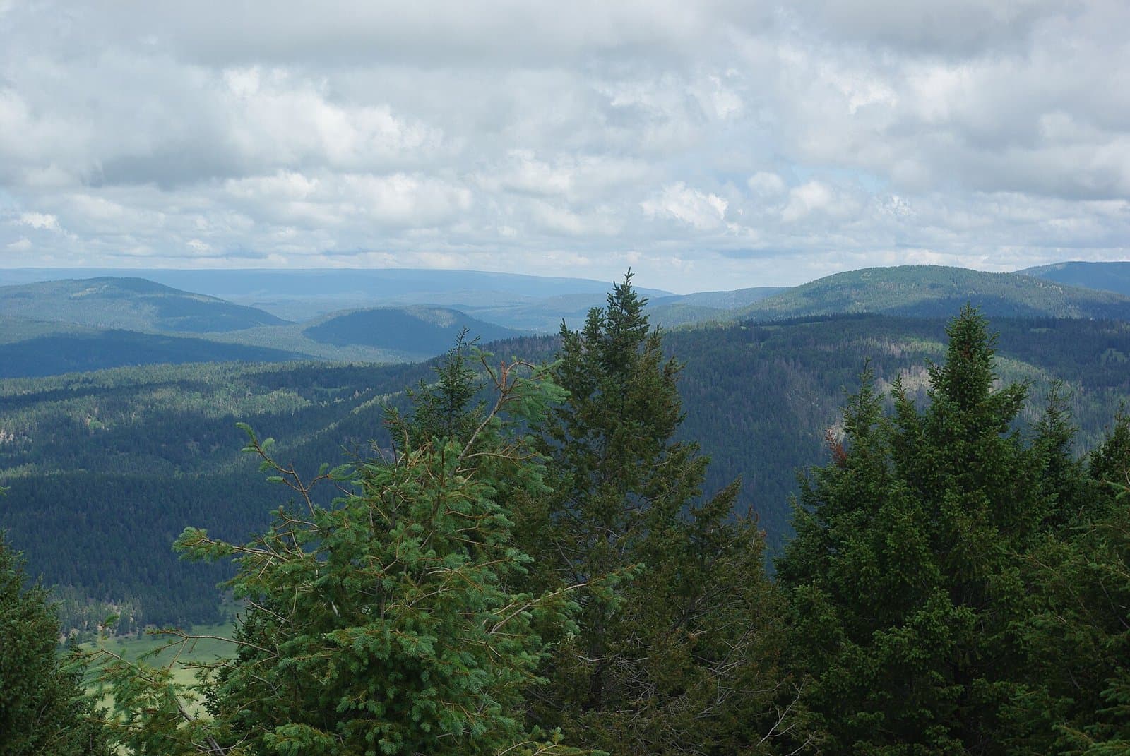
4.5 mi from the trailhead
Ponderosa Group Campground
Campground · New Mexico

11.6 mi loop · 1,712 ft gain · 7,298 ft high point · Hard
From Aquatic Center Trailhead, a loop with the Bridges Loop, the Pueblo Rim/Canyon Loop, the Ranch School Trail, and the Pueblo Canyon Trail
New Mexico · OpenStreetMap contributors
Bayo/Pueblo Loop is an 11.6-mile loop from Aquatic Center Trailhead that passes a waterfall and a viewpoint. The route gains 1,717 feet and reaches 7,298 feet elevation.
1,712 ft of gain, the approach both ways included.
The closest places to sleep, measured from the trailhead.
Ranked the same way, within twenty-five miles.
What the trail reaches, measured from the start.
The hike from its start, the approach dashed. Drag with two fingers, or hold a key to zoom.
Trail data: USFS, NPS, © OpenStreetMap contributors (ODbL). Elevation: USGS 3DEP via Mapzen terrain tiles. Nearby reading: Wikipedia. Photos: Wikimedia Commons contributors, licensed as shown on each photo. Download the trail and feature data.
Campground · New Mexico
15.3 mi loop · 1,123 ft gain · Hard
Valles Caldera National Preserve · Camp 8 mi away
Hikes that read like this one, wherever they are.

6.5 mi loop · 1,250 ft gain · Hard
New Mexico · Camp 4 mi away
5.3 mi loop · 746 ft gain · Moderate
New Mexico · Camp 6 mi away
8.2 mi out & back · 969 ft gain · Moderate
New Mexico · Camp 4 mi away
7.2 mi out & back · 872 ft gain · Moderate
New Mexico · Camp 6 mi away
Mon: Chance Rain Showers then Mostly Sunny · wind 5 to 15 mph W