 17 mi from you
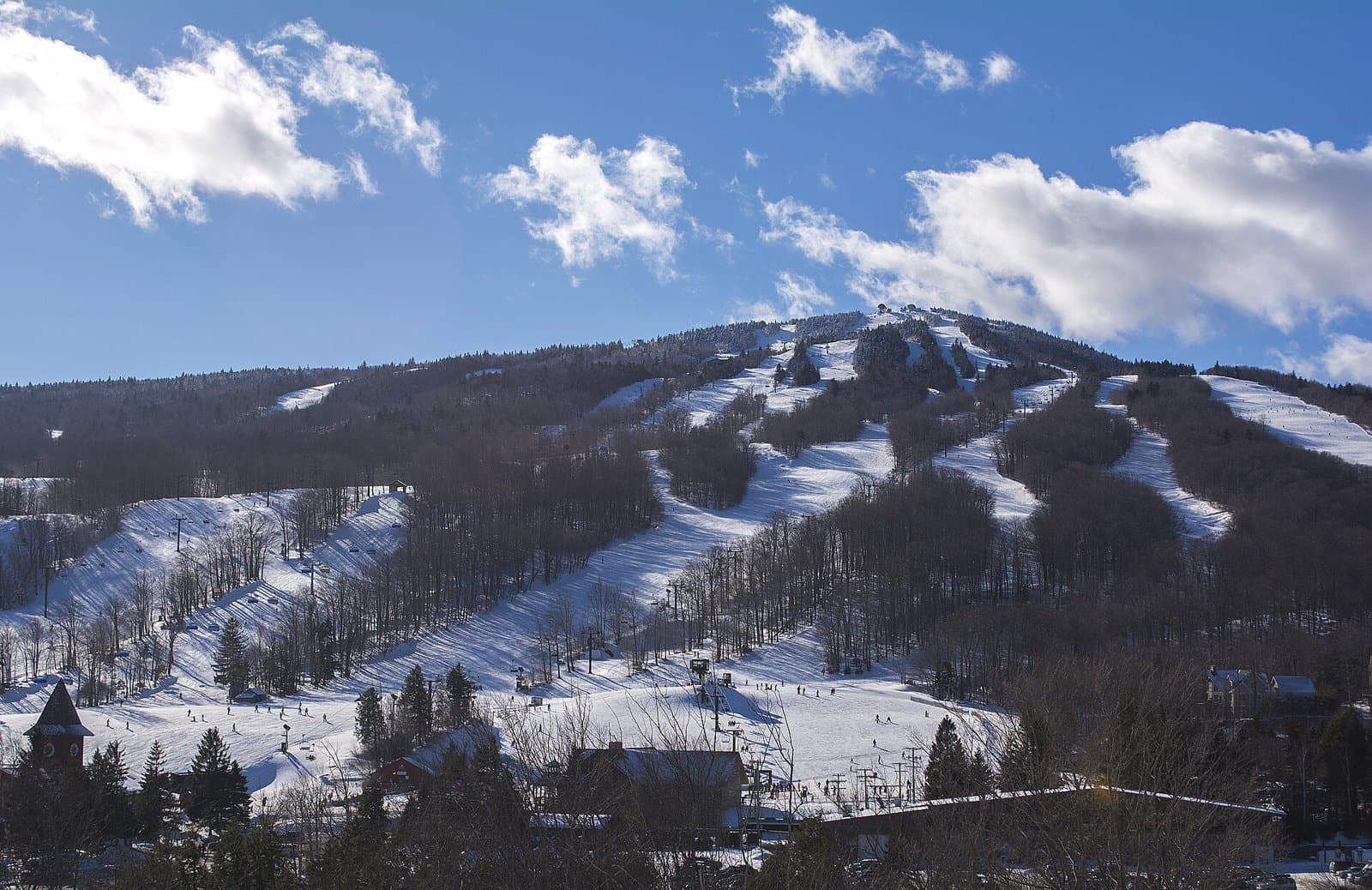
Deerfield Ridge
- Summits Mount Snow
- Inside Green Mountain National Forest
- 1,986 ft of climbing
5.6 mi of trails · 1,986 ft climb · Very hard
Green Mountain National Forest · Camp 7 mi away
249.3 mi one way · 72,514 ft climb · 4,386 ft high point
VT · OpenStreetMap contributors
The Long Trail runs 249.2 mi from end to end through Vermont's Green Mountains, passing Mount Mansfield and summiting to 4,386 ft with 72,514 ft total ascent.
72,254 ft of gain and 72,514 ft of descent.
Ranked the same way, within twenty-five miles.
What the trail reaches, measured from the start.
The route at the trailhead. Drag with two fingers, or hold a key to zoom.
Trail data: USFS, NPS, © OpenStreetMap contributors (ODbL). Elevation: USGS 3DEP via Mapzen terrain tiles. Nearby reading: Wikipedia. Download the trail and feature data.
7.1 mi one way · 1,794 ft climb · Very hard
Glastenbury Wilderness · Camp 8 mi away
Hikes that read like this one, wherever they are.
93.4 mi one way · 21,897 ft climb · Very hard
Green Mountain National Forest
19.7 mi one way · 5,479 ft climb · Very hard
Green Mountain National Forest · Camp 10 mi away
70.4 mi one way · 11,287 ft climb
VT
55.3 mi of trails · 15,348 ft climb · Very hard
Green Mountain National Forest · Camp 4 mi away
Fri: Mostly Sunny · wind 5 to 9 mph NW