 6.4 mi from the trailhead
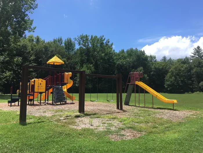
Union Village Dam Picnic Area (Vt)
Campground · VT
141.8 mi one way · 35,993 ft gain · 3,984 ft high point
VT · OpenStreetMap contributors
The Appalachian Trail runs 141.7 miles through Vermont, passing Stratton Mountain, Griffith Lake, and Peru Peak while gaining 35,967 feet.
35,993 ft of gain and 34,055 ft of descent.
The closest places to sleep, measured from the trailhead.
Ranked the same way, within twenty-five miles.
What the trail reaches, measured from the start.
The route at the trailhead. Drag with two fingers, or hold a key to zoom.
Trail data: USFS, NPS, © OpenStreetMap contributors (ODbL). Elevation: USGS 3DEP via Mapzen terrain tiles. Nearby reading: Wikipedia. Download the trail and feature data.
Campground · VT
9.8 mi loop · 3,596 ft gain · Very hard
White Mountain National Forest · Camp 1 mi away
Thu: Patchy Fog then Sunny · wind 3 mph N
Hikes that read like this one, wherever they are.
145.8 mi one way · 52,278 ft gain
NH · Camp 6 mi away
91.0 mi one way · 21,870 ft gain · Very hard
Green Mountain National Forest
87.3 mi one way · 19,104 ft gain
MA
19.0 mi one way · 5,371 ft gain · Very hard
Green Mountain National Forest · Camp 10 mi away