 5.0 mi from the trailhead
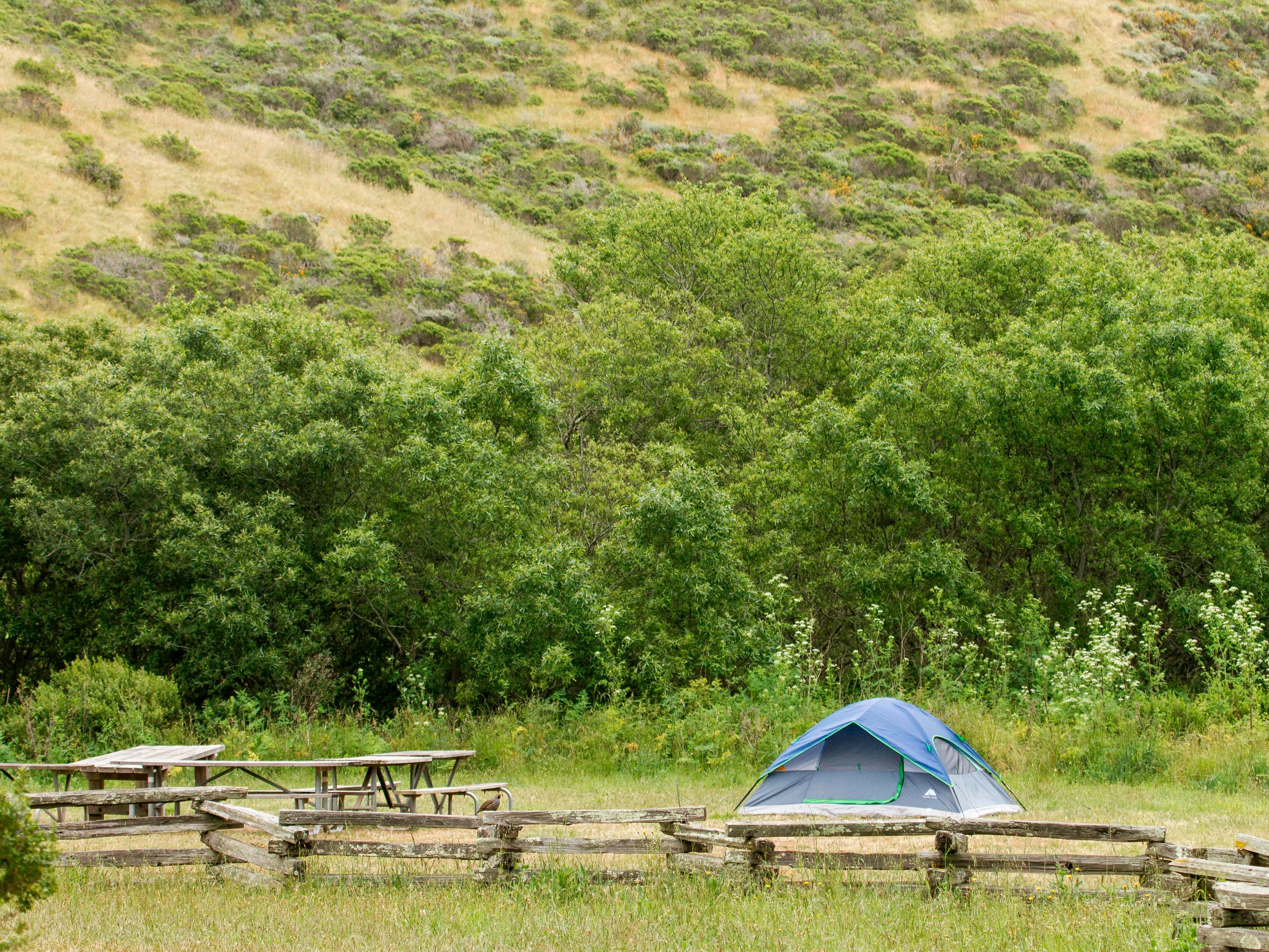
Haypress Campground
Campground · California
5.6 mi out & back · 1,398 ft gain · 1,978 ft high point
From Rock Spring Trailhead Parking Lot via the Simmons Trail (0.1 mi)
California · OpenStreetMap contributors
Cataract Trail is a 2.8-mile trail network with 1,323 feet of climb that reaches Alpine Lake, passing Helen Markt Falls, Midway Falls, Cataract Falls, and Laurel Dell Falls.
1,398 ft of gain round trip.
The closest places to sleep, measured from the trailhead.
Ranked the same way, within twenty-five miles.
What the trail reaches, measured from the start.
The hike from its start, the approach dashed. Drag with two fingers, or hold a key to zoom.
Trail data: USFS, NPS, © OpenStreetMap contributors (ODbL). Elevation: USGS 3DEP via Mapzen terrain tiles. Nearby reading: Wikipedia. Download the trail and feature data.
Campground · California
6.9 mi loop · 1,134 ft gain · Moderate
Point Reyes National Seashore · Camp under a mile away
Hikes that read like this one, wherever they are.
14.2 mi out & back · 5,162 ft gain
Alpine Lakes Wilderness · Camp 4 mi away
8.7 mi out & back · 709 ft gain · Easy
Montana · Camp 12 mi away
38.0 mi one way · 9,769 ft gain
California
26.7 mi one way · 4,696 ft gain
MD · Camp under a mile away
Thu: Mostly Sunny · wind 2 to 10 mph WNW