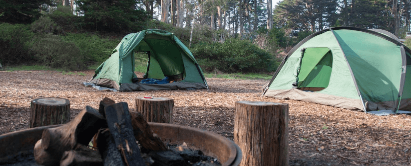
 0.4 mi from the trailhead
Rob Hill Campground
Campground
17.6 mi out & back · 2,590 ft gain · 917 ft high point · Very hard
Via the California Coastal Trail and Bay Area Ridge Trail - 04 - San Francisco and Peninsula (6.8 mi)
In Golden Gate National Recreation Area · California · OpenStreetMap contributors
Creeks to Peaks runs 17.6 mi out and back via California Coastal Trail and Bay Area Ridge Trail, climbing 2,590 ft past peaks including Noe Peak, Eureka Peak, Tank Hill, and Mount Olympus.
2,590 ft of gain round trip.
The closest places to sleep, measured from the trailhead.
Ranked the same way, within twenty-five miles.
What the trail reaches, measured from the start.
The hike from its start, the approach dashed. Drag with two fingers, or hold a key to zoom.
Trail data: USFS, NPS, © OpenStreetMap contributors (ODbL). Elevation: USGS 3DEP via Mapzen terrain tiles. Nearby reading: Wikipedia. Download the trail and feature data.
Campground · California
7.1 mi loop · 1,373 ft gain · Hard
Point Reyes National Seashore · Camp 2 mi away
Sun: Sunny · wind 6 to 14 mph NNW
Hikes that read like this one, wherever they are.
22.2 mi out & back · 3,819 ft gain · Very hard
Golden Gate National Recreation Area · Camp under a mile away
45.5 mi one way · 9,266 ft gain · Very hard
California · Camp 13 mi away
9.0 mi out & back · 1,896 ft gain · Hard
Golden Gate National Recreation Area · Camp 4 mi away
4.2 mi out & back · 1,203 ft gain · Moderate
Golden Gate National Recreation Area · Camp 5 mi away