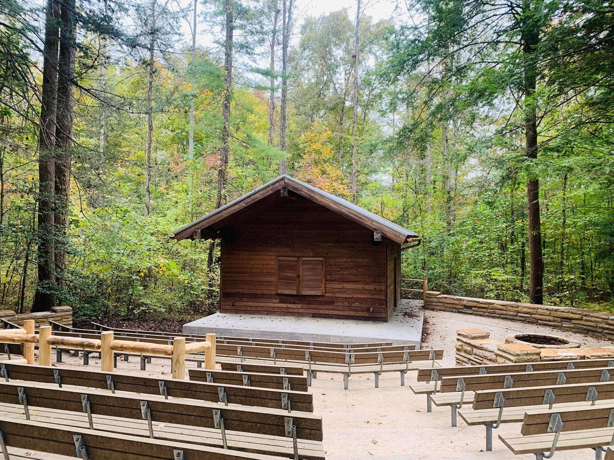
 1.5 mi from the trailhead
Wilderness Road Campground
Campground · VA
3.1 mi out & back · 452 ft gain · 1,511 ft high point · Moderate
Via Daniel Boone Parking Area Spur (0.0 mi)
In Cumberland Gap National Historical Park · VA · National Park Service
The Boone Trail ascends 319 feet in Cumberland Gap National Historical Park, near The Pinnacle and Pinnacle Overlook.
452 ft of gain round trip.
The closest places to sleep, measured from the trailhead.
Ranked the same way, within twenty-five miles.
What the trail reaches, measured from the start.
The hike from its start, the approach dashed. Drag with two fingers, or hold a key to zoom.
Trail data: USFS, NPS, © OpenStreetMap contributors (ODbL). Elevation: USGS 3DEP via Mapzen terrain tiles. Nearby reading: Wikipedia. Download the trail and feature data.
Campground · VA
4.0 mi loop · 1,134 ft gain · Moderate
Cumberland Gap National Historical Park · Camp 2 mi away
Hikes that read like this one, wherever they are.
3.8 mi out & back · 1,221 ft gain · Moderate
Cumberland Gap National Historical Park · Camp 2 mi away
4.0 mi loop · 1,134 ft gain · Moderate
Cumberland Gap National Historical Park · Camp 2 mi away
3.6 mi loop · 1,105 ft gain · Very hard
Cumberland Gap National Historical Park · Camp 2 mi away
1.0 mi out & back · 194 ft gain · Hard
Cumberland Gap National Historical Park · Camp 2 mi away
Thu: Slight Chance Rain Showers then Partly Sunny · wind 0 to 5 mph E
