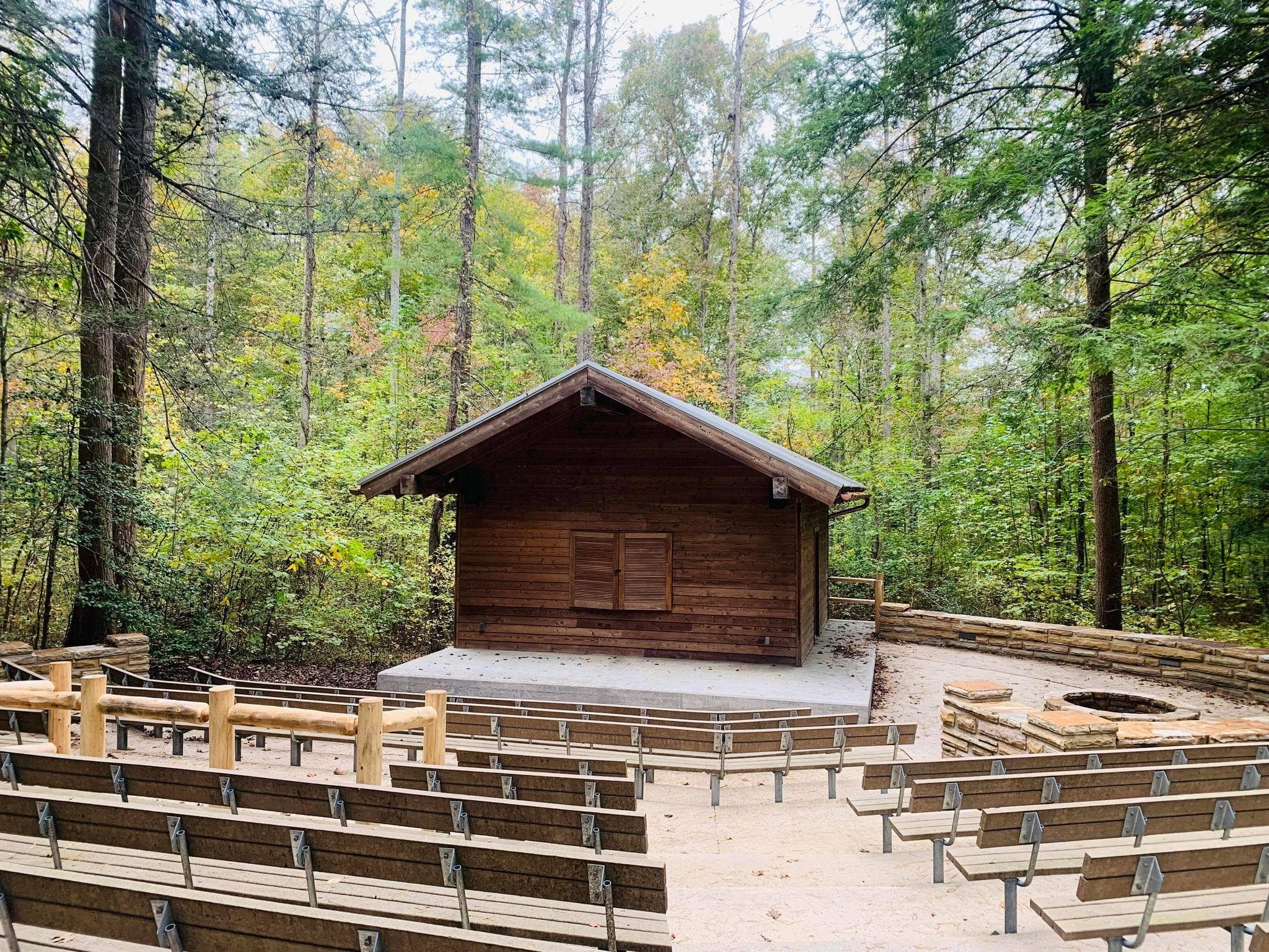
 1.9 mi from the trailhead
Wilderness Road Campground
Campground · VA
0.2 mi one way · 64 ft climb · 2,480 ft high point · Hard · Paved
In Cumberland Gap National Historical Park · KY · National Park Service
Fort Lyon Trail is a difficult 0.2-mile paved path to The Pinnacle and Pinnacle Overlook in Cumberland Gap National Historical Park.
60 ft of gain and 64 ft of descent.
The closest places to sleep, measured from the trailhead.
Ranked the same way, within twenty-five miles.
What the trail reaches, measured from the start.
The route at the trailhead. Drag with two fingers, or hold a key to zoom.
Trail data: USFS, NPS, © OpenStreetMap contributors (ODbL). Elevation: USGS 3DEP via Mapzen terrain tiles. Nearby reading: Wikipedia. Download the trail and feature data.
Campground · VA
0.8 mi one way · 566 ft climb · Moderate
Cumberland Gap National Historical Park · Camp 2 mi away
Hikes that read like this one, wherever they are.
0.2 mi one way · 130 ft climb · Moderate
Cumberland Gap National Historical Park · Camp 2 mi away
0.1 mi one way · 69 ft climb · Moderate
Cumberland Gap National Historical Park · Camp 2 mi away
0.3 mi one way · 75 ft climb · Very hard
Cumberland Gap National Historical Park · Camp 2 mi away
0.8 mi one way · 566 ft climb · Moderate
Cumberland Gap National Historical Park · Camp 2 mi away
Today: Mostly Sunny · wind 0 mph
