 6.3 mi from the trailhead
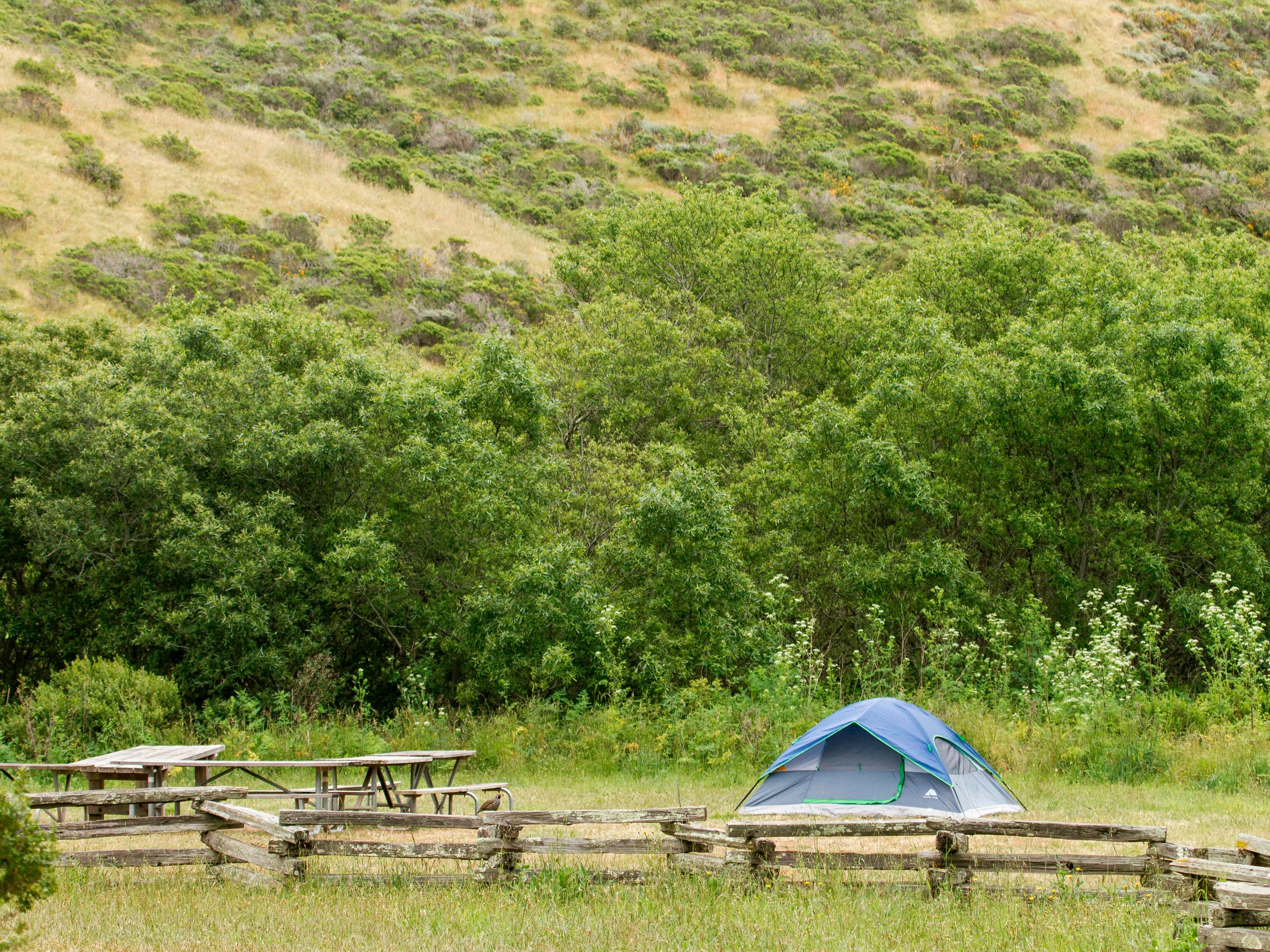
Haypress Campground
Campground · California
2.8 mi out & back · 1,654 ft gain · 2,388 ft high point
California · OpenStreetMap contributors
East Peak Fire Trail ascends 1,603 feet in 1.4 miles to Mount Tamalpais East Peak and viewpoints.
1,654 ft of gain round trip.
The closest places to sleep, measured from the trailhead.
Ranked the same way, within twenty-five miles.
What the trail reaches, measured from the start.
The route at the trailhead. Drag with two fingers, or hold a key to zoom.
Trail data: USFS, NPS, © OpenStreetMap contributors (ODbL). Elevation: USGS 3DEP via Mapzen terrain tiles. Nearby reading: Wikipedia. Download the trail and feature data.
Campground · California
6.8 mi out & back · 1,896 ft gain
Golden Gate National Recreation Area · Camp 4 mi away
Sat: Mostly Sunny · wind 1 to 6 mph WNW
Hikes that read like this one, wherever they are.
1.2 mi out & back · 1,155 ft gain
California · Camp 5 mi away
2.7 mi out & back · 1,212 ft gain
California · Camp 4 mi away
0.6 mi out & back · 224 ft gain
California · Camp 5 mi away
5.4 mi out & back · 840 ft gain
California · Camp 5 mi away