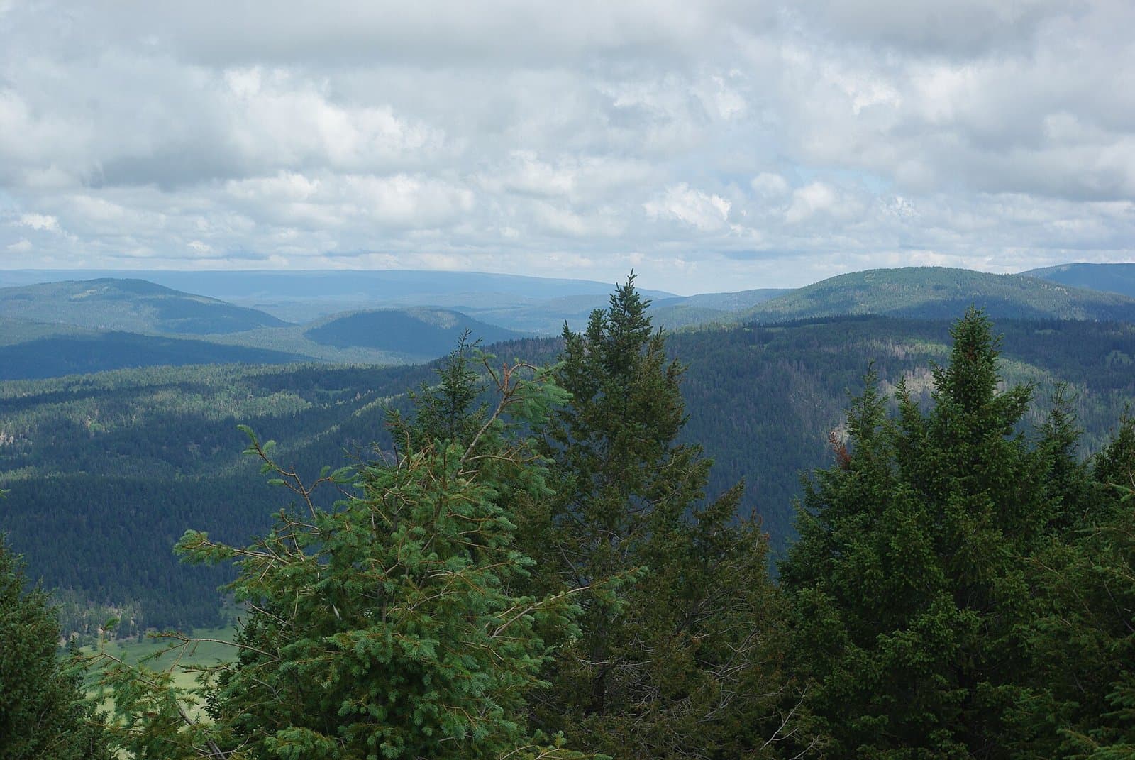
4.4 mi from the trailhead
Ponderosa Group Campground
Campground · New Mexico

6.5 mi loop · 1,468 ft gain · 7,813 ft high point · Hard
Loop with the Upper Pueblo Trail, Perimeter, and the Quemazon/Pipeline Loop
New Mexico · OpenStreetMap contributors
Quemazon Nature Trail is a 4.2-mile loop climbing 1,494 feet to 7,805 feet, passing a nearby waterfall.
1,468 ft of gain, the approach both ways included.
The closest places to sleep, measured from the trailhead.
Ranked the same way, within twenty-five miles.
What the trail reaches, measured from the start.
The hike from its start, the approach dashed. Drag with two fingers, or hold a key to zoom.
Trail data: USFS, NPS, © OpenStreetMap contributors (ODbL). Elevation: USGS 3DEP via Mapzen terrain tiles. Nearby reading: Wikipedia. Photos: Wikimedia Commons contributors, licensed as shown on each photo. Download the trail and feature data.
Campground · New Mexico
15.3 mi loop · 1,123 ft gain · Hard
Valles Caldera National Preserve · Camp 8 mi away
Hikes that read like this one, wherever they are.

10.0 mi loop · 2,078 ft gain · Hard
New Mexico · Camp 4 mi away

17.9 mi out & back · 4,162 ft gain · Very hard
New Mexico · Camp 4 mi away

5.9 mi loop · 1,536 ft gain · Hard
New Mexico · Camp 4 mi away
10.7 mi out & back · 2,438 ft gain · Very hard
New Mexico · Camp 4 mi away
Mon: Mostly Sunny · wind 0 to 10 mph S