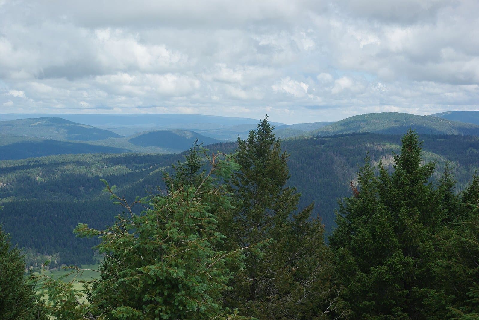
1.1 mi from the trailhead
Juniper Family Campground
Campground · New Mexico
0.3 mi connector · 35 ft gain · 6,122 ft high point · Easy
This is a connector trail.
New Mexico · National Park Service
35 ft of gain and 19 ft of descent.
What the trail reaches, measured from the start.
The route at the trailhead. Drag with two fingers, or hold a key to zoom.
Trail data: USFS, NPS, © OpenStreetMap contributors (ODbL). Elevation: USGS 3DEP via Mapzen terrain tiles. Nearby reading: Wikipedia. Download the trail and feature data.
The closest places to sleep, measured from the trailhead.
Ranked the same way, within twenty-five miles.
Campground · New Mexico
15.3 mi loop · 1,123 ft gain · Hard
Valles Caldera National Preserve · Camp 8 mi away
Mon: Sunny · wind 5 to 10 mph NE
No carrier reports signal at this spot.