 1.5 mi from the trailhead
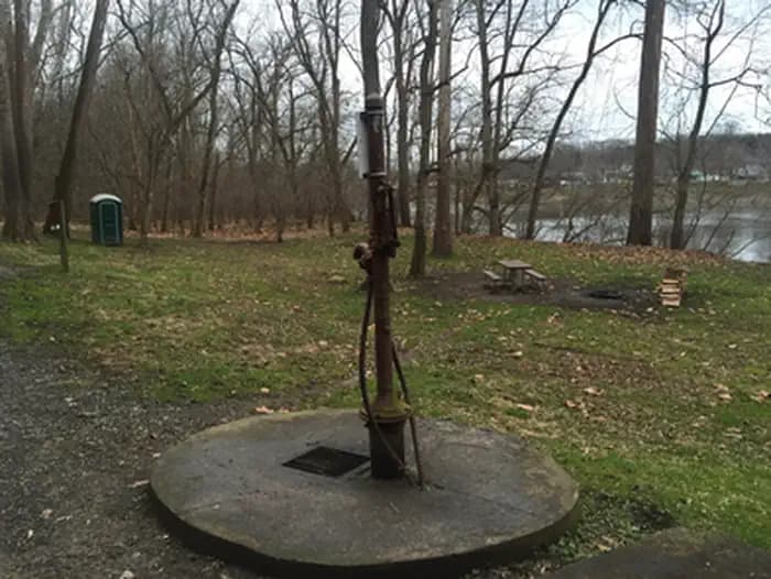
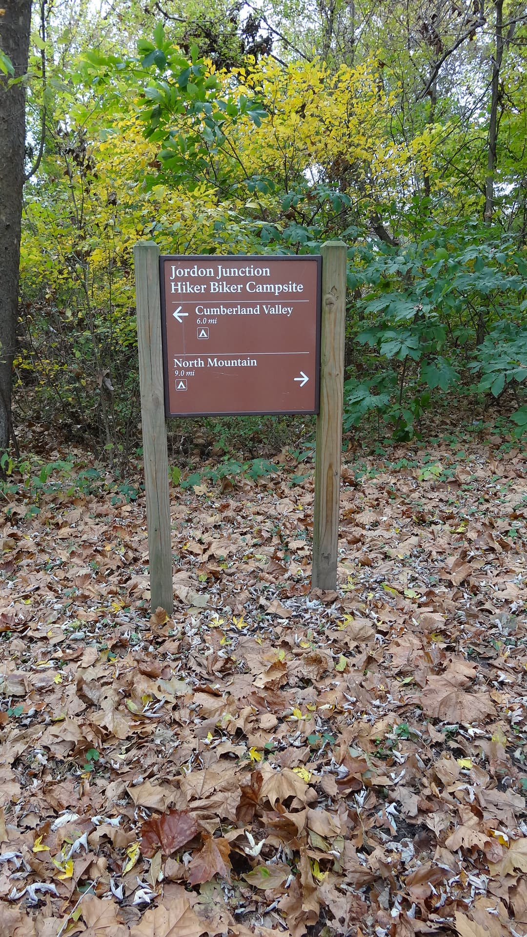
Jordan Junction Hiker-Biker Campsite
Campground · MD
21.1 mi out & back · 271 ft gain · 407 ft high point · Moderate · Gravel
Via the Williamsport Port Path, the Potomac Heritage National Scenic Trail, Towpath, Milepost 99-100, Towpath, Milepost 101-102, Towpath, Milepost 102-103, Towpath, Milepost 103-104, Towpath, Mile 104-105, Towpath, Milepost 105-106, Towpath, MIlepost 106-107, Towpath, Milepost 107-108, and Towpath, Milepost 108-109 (9.5 mi)
In Chesapeake & Ohio Canal National Historical Park · MD · National Park Service
This 21.1-mile out and back route follows the towpath along the Potomac River Reservoir in Chesapeake & Ohio Canal National Historical Park, climbing 271 feet.
271 ft of gain round trip.
The closest places to sleep, measured from the trailhead.
Ranked the same way, within twenty-five miles.
What the trail reaches, measured from the start.
The hike from its start, the approach dashed. Drag with two fingers, or hold a key to zoom.
Trail data: USFS, NPS, © OpenStreetMap contributors (ODbL). Elevation: USGS 3DEP via Mapzen terrain tiles. Nearby reading: Wikipedia. Download the trail and feature data.
Campground · MD
6.8 mi loop · 1,406 ft gain · Hard
Catoctin Mountain Park · Camp under a mile away
Hikes that read like this one, wherever they are.
23.1 mi out & back · 271 ft gain · Moderate
Chesapeake & Ohio Canal National Historical Park · Camp 1 mi away
6.9 mi out & back · 55 ft gain · Easy
Chesapeake & Ohio Canal National Historical Park · Camp 1 mi away
4.9 mi out & back · 55 ft gain · Easy
Chesapeake & Ohio Canal National Historical Park · Camp 1 mi away
19.0 mi out & back · 270 ft gain · Moderate
Chesapeake & Ohio Canal National Historical Park · Camp 1 mi away
Mon: Partly Sunny · wind 8 to 21 mph NW