 4.2 mi from the trailhead
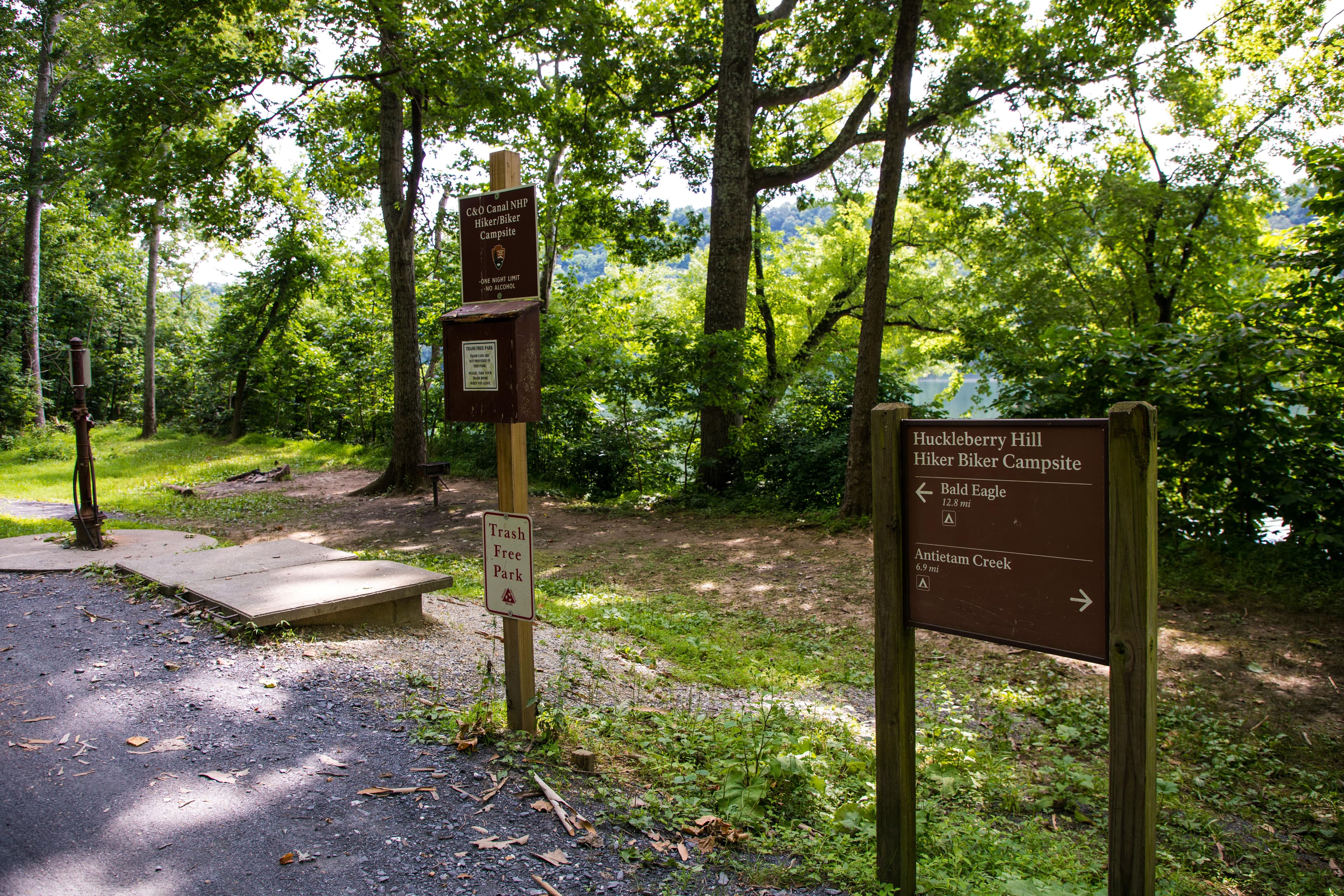
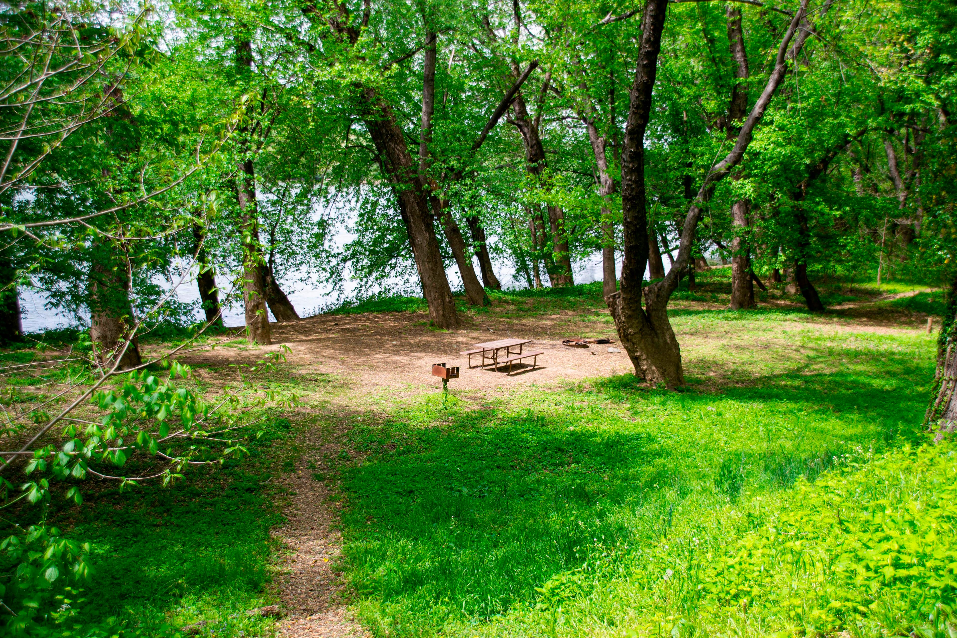
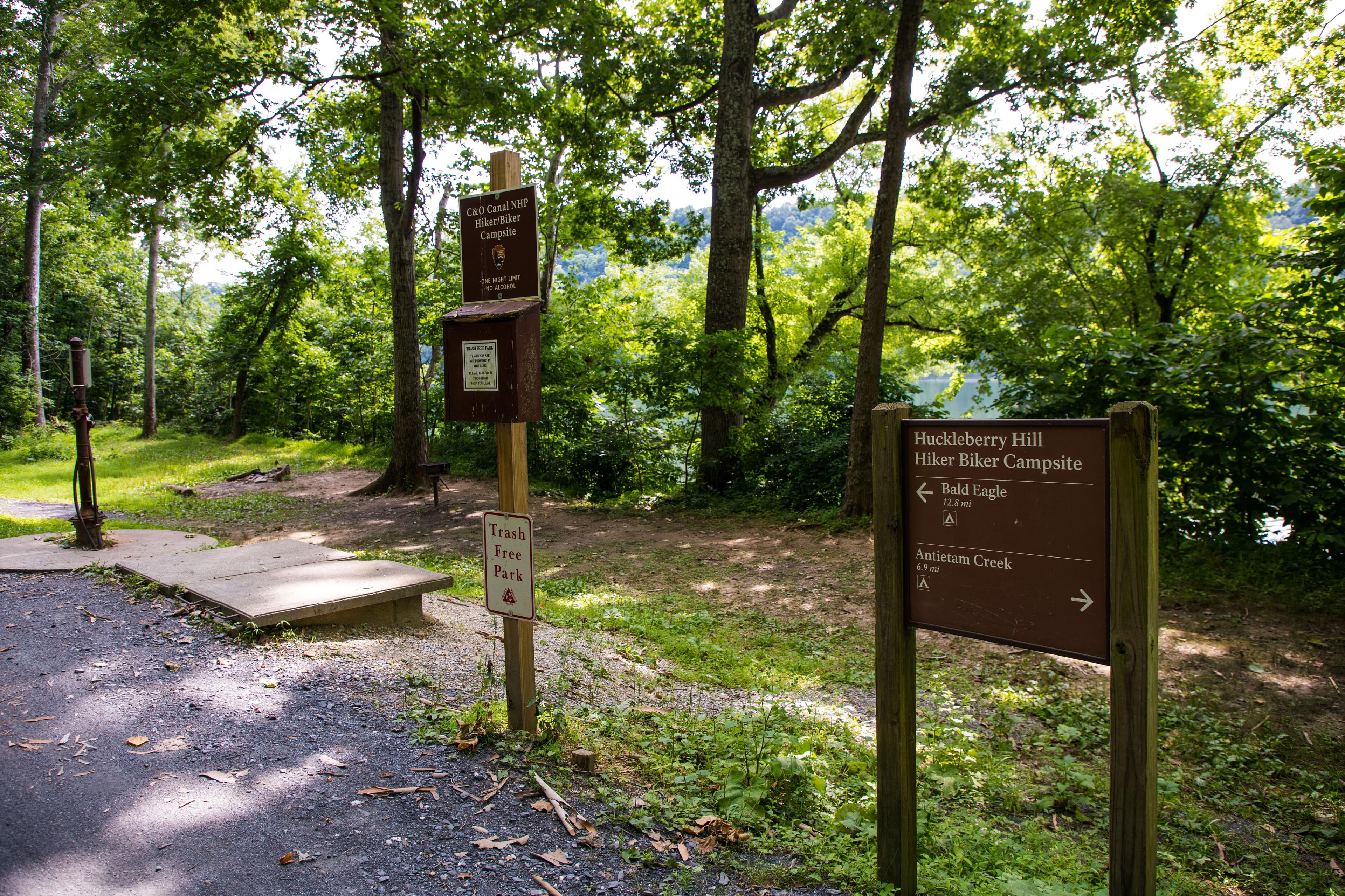
Huckleberry Hill Hiker-Biker Campsite
Campground · MD

5.2 mi out & back · 43 ft gain · 273 ft high point · Easy
From C&O Canal - Weverton via the Appalachian Trail (0.0 mi)
In Appalachian National Scenic Trail · MD · National Park Service
This out and back route on the Appalachian Trail reaches Maryland Heights Overlook and a viewpoint near Potomac Water Gap in Appalachian National Scenic Trail, starting at C&O Canal - Weverton.
43 ft of gain round trip.
The closest places to sleep, measured from the trailhead.
Ranked the same way, within twenty-five miles.
What the trail reaches, measured from the start.
The hike from its start, the approach dashed. Drag with two fingers, or hold a key to zoom.
Trail data: USFS, NPS, © OpenStreetMap contributors (ODbL). Elevation: USGS 3DEP via Mapzen terrain tiles. Nearby reading: Wikipedia. Photos: Wikimedia Commons contributors, licensed as shown on each photo. Download the trail and feature data.
Campground · MD
6.8 mi loop · 1,406 ft gain · Hard
Catoctin Mountain Park · Camp under a mile away
Hikes that read like this one, wherever they are.

39.8 mi one way · 7,075 ft gain · Very hard
Harpers Ferry National Historical Park · Camp 2 mi away
53.0 mi one way · 14,596 ft gain · Very hard
Appalachian National Scenic Trail · Camp 11 mi away

4.0 mi out & back · 1,109 ft gain · Moderate
Chesapeake & Ohio Canal National Historical Park · Camp 1 mi away

533.2 mi one way · 131,840 ft gain · Very hard
Appalachian National Scenic Trail · Camp 15 mi away
Today: Mostly Sunny · wind 0 to 6 mph S