 7.3 mi away
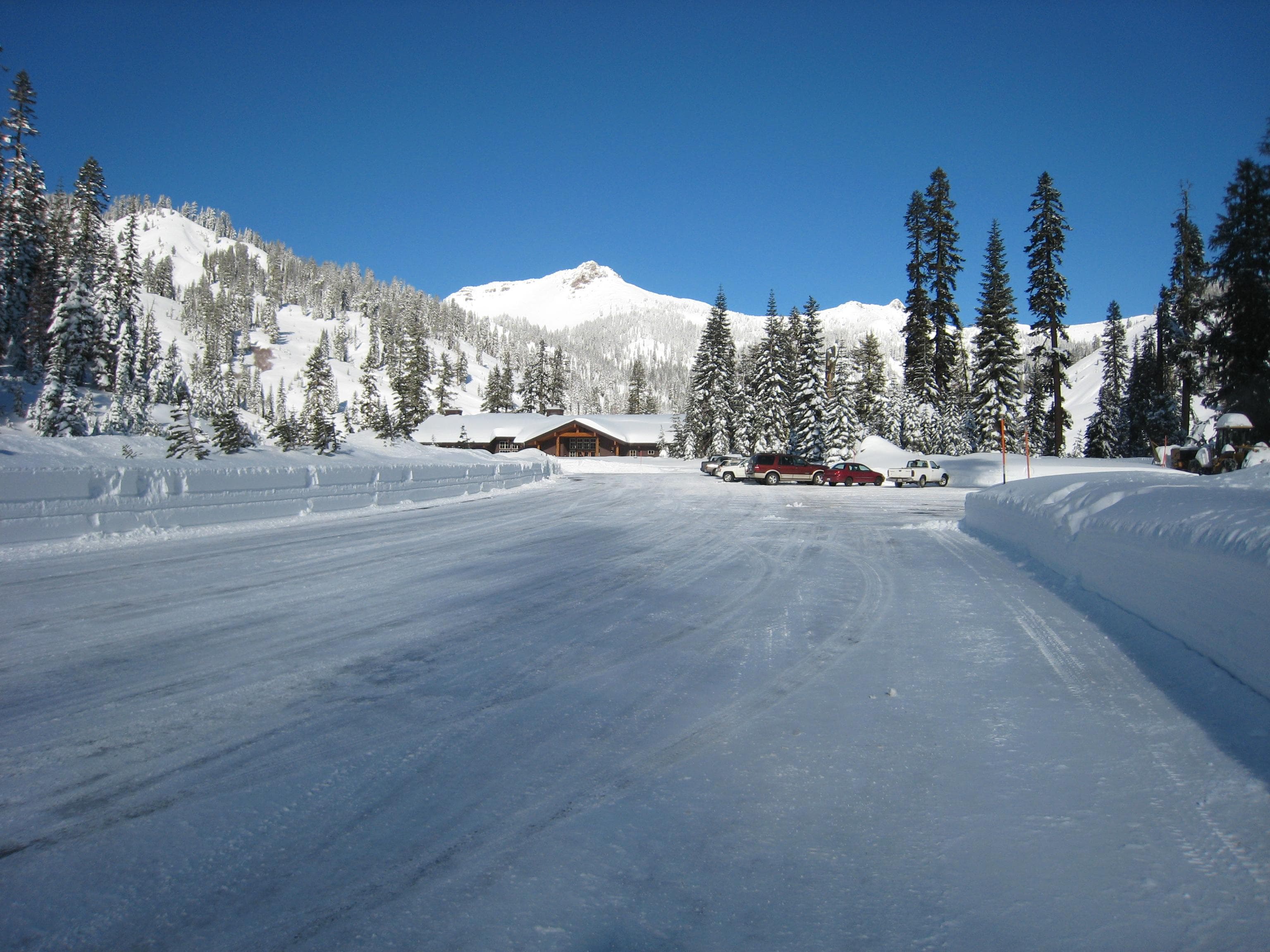
Southwest Campground - Winter/Spring
Campground · California
California
Summit Lake Stock Corral (elevation 6,700 ft.) is conveniently located on the main road of Lassen Volcanic National Park. The stock corral is within walking distance of the small but scenic Summit Lake and seven miles from the trailhead to Lassen Peak, the largest volcano in the park (elevation 10,457 ft.). Riders will find one of the park's major trails only 1/4 mile away from the stock corral. A convenient horse trail leads to the Summit Lake Ranger Station where the trailhead is located. Many more trails are in close proximity with access to Juniper Lake, Snag Lake, and Butte Lake. The Pacific Crest Trail, which runs through the park, is also accessible from the Summit Lake Stock Corral.
The Summit Lake area is a hub for hiking and horse riding enthusiasts. Many of the park's 150 miles of trails can be accessed from this area. Located a short distance from the stock corral is the Cluster Lakes loop trail, a major trailhead into the park's interior, bypassing several alpine lakes and popular among birders. Evening programs are presented at an amphitheater within the Summit Lake Campground area.
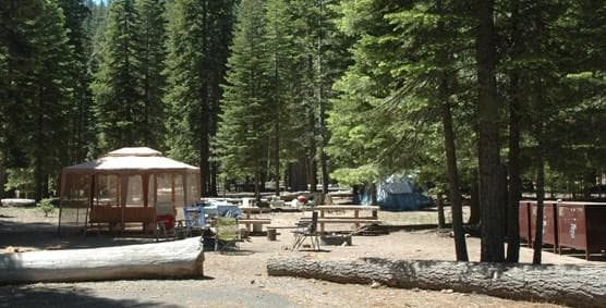
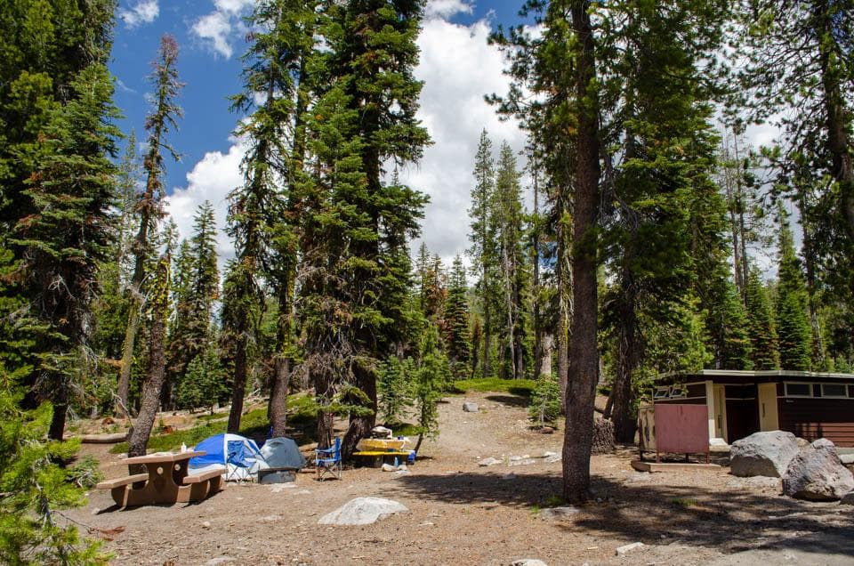
The facility has two metal stock corrals with water troughs and water is furnished for the horses. There is no potable water so campers must bring their own water or go into the Summit Lake Campground to obtain drinking water. There are two campsites with tables, fire rings and bear lockers available. There is a vault toilet available near the site for the use of campers at the stock corral.
The national park is known for its volcanic history, as well as its diversity of plants and animals. It contains 300 active volcanic domes and many hydrothermal features, such as mud pots and steam vents. Lassen Peak is the southernmost active volcano in the Cascades, and the second most recent volcano to erupt in the lower 48 of the United States before Mount Saint Helens. Lassen Volcanic National Park boasts over 700 species of flowering plants and 250 native species including birds, mammals, reptiles and fish. The park is at the junction of the Cascade Mountains, the Sierra Nevada Mountains and the Great Basin, providing many unique habitats.
1.0 mi away · 130.6 mi · 18,672 ft gain · nwn
2.2 mi away · 5.2 mi · 341 ft gain · lwn
2.3 mi away · 4.3 mi · 863 ft gain · lwn
2.8 mi away · 2.8 mi · lwn
3.0 mi away · 3485 ft · 126 ft gain · lwn
Campground · California

Road, crowds, signal, and whether they'd go back — from people who camped here.
Been here? Tell the next visitor what the road, the crowds, and the signal were like.
No reviews yet. Been here? Yours would be the first.
Sign in to write a review.
From people who camped here.
Sign in to add photos from your visit.
The first one from your trip goes here.
Fri: Sunny · wind 5 mph NNW