FIELD GUIDE · CHAPTER 46 · REGION IVEST. 2026
Virginia
The Old Dominion
VA · 37°31′ N · 78°51′ W · 161 SITES SURVEYED
BIG MEADOWS — SHENANDOAH NATIONAL PARK · PLATE A-461
§ 01 — Opening Plate
A letter from the field
Virginia's federal camping is overwhelmingly Appalachian, strung along a single long mountain spine. Shenandoah National Park and Skyline Drive crown the north; the Blue Ridge Parkway carries the line south through the heart of the state; the vast George Washington & Jefferson National Forests fill the ridges and valleys between; and Mount Rogers, the 5,729-foot state high point, anchors the far southwest. The state also carries roughly 550 miles of the Appalachian Trail, more than any other. The honest twist, set against coastal North Carolina, is that Virginia's shore has almost no federal campgrounds — Assateague's campground sits on the Maryland side, and Chincoteague National Wildlife Refuge has none of its own — so the camping concentrates instead in the mountains and valleys. What's singular here is the rest: the wild ponies of the Grayson Highlands near Mount Rogers, the autumn leaf run down Skyline Drive every October, and a Civil-War-dense countryside folded between the ridges that gives the state its own deep historical grain.
§ 02 — The Plates
Top 10 sites, filed
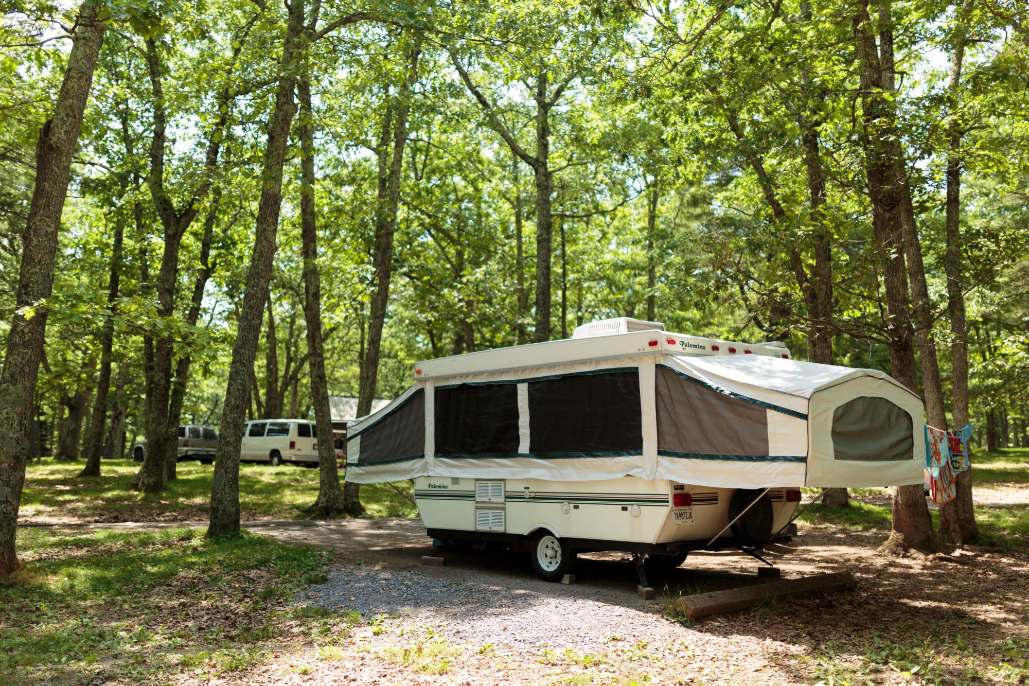
Big Meadows — Shenandoah National Park
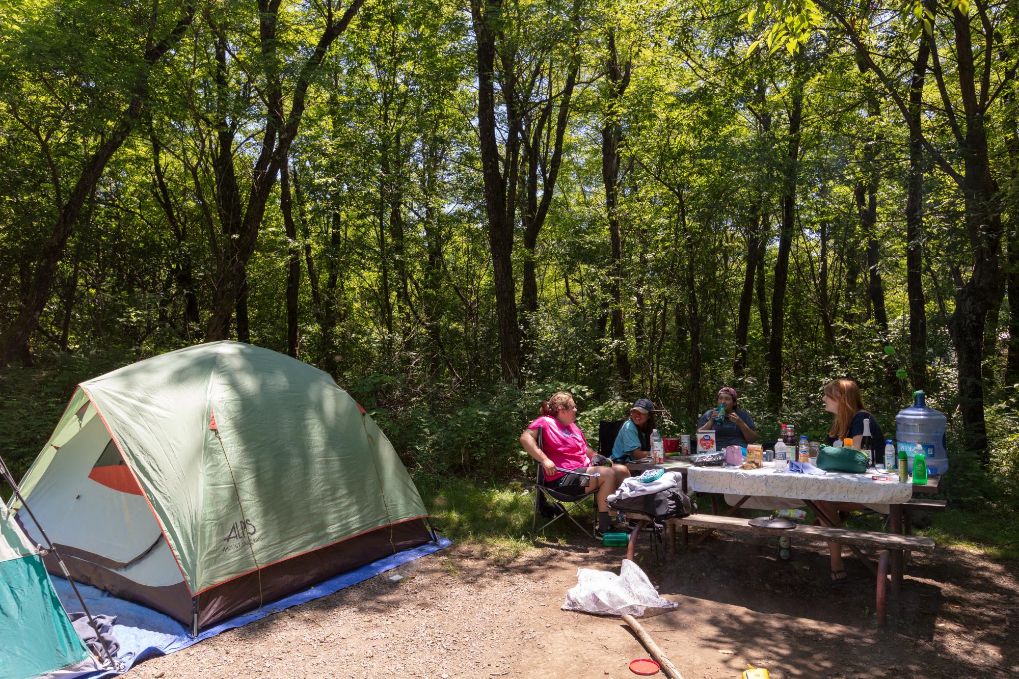
The heart of Shenandoah's central district at Skyline Drive Milepost 51, around 3,500 feet beside the wide-open Big Meadows clearing and the Byrd Visitor Center. Roughly 220 sites, reservable on Recreation.gov, with the Dark Hollow Falls, Rose River Falls, and Lewis Falls trailheads leaving straight from camp. Shenandoah is a certified International Dark Sky Park, with a lodge, wayside, and dining nearby. At dawn and dusk white-tailed deer and black bears drift out across the meadow to graze, so use the food lockers. Open spring through late fall.
Loft Mountain — Shenandoah National Park
Shenandoah's largest campground, roughly 200 sites perched atop Big Flat Mountain around 3,300 feet in the park's south district at Skyline Drive Milepost 79.5. The Appalachian Trail loops right around the campground, and wide views open both east and west off the mountaintop. Trails drop into the Big Run drainage toward Doyles River and Jones Run Falls, and a camp store handles last-minute supplies. Reservable on Recreation.gov and seasonal. The breeze runs constant across the open summit ground, cool even on summer afternoons.
Mathews Arm — Shenandoah National Park
The only campground in Shenandoah's north district, at Skyline Drive Milepost 22.1 around 2,750 feet, and the closest to the Front Royal entrance and Washington beyond. Roughly 165 sites, reservable on Recreation.gov and open spring through fall. This is the launch for Overall Run Falls, the tallest waterfall in the park at about 93 feet, with the trail dropping steeply off the ridge. Quieter and often cooler than the busy central district, it suits campers who want the AT and the falls without the crowds threading the loops.
Peaks of Otter — Blue Ridge Parkway
A classic central-Virginia Blue Ridge camp at Parkway Milepost 86 near Bedford, around 2,500 feet beside Abbott Lake beneath the three peaks — Sharp Top, Flat Top, and Harkening Hill. Roughly 140 sites, reservable on Recreation.gov; the campground runs spring to fall. A shuttle or a steep hike climbs Sharp Top to a near-360-degree summit, and a lakeside lodge and restaurant sit across the water. Morning fog lifts slowly off Abbott Lake with the three peaks mirrored on its surface before the first hikers start up Sharp Top.
- 05Rocky Knob — Blue Ridge ParkwayA breezy ridge camp at Blue Ridge Parkway Milepost 167 near Floyd and Meadows…→
- 06Oak Ridge — Prince William Forest ParkThe closest national-park camping to Washington, D.C., set in the largest protected natural area…→
- 07Sherando Lake — George Washington National ForestThe self-styled Jewel of the Blue Ridge, tucked into the George Washington National Forest…→
- 08Cave Mountain Lake — George Washington National ForestA quiet hollow in the George Washington National Forest near Natural Bridge and Glasgow,…→
- 09Grindstone — Mount Rogers National Recreation AreaThe main base for Mount Rogers, in the Jefferson National Forest's Mount Rogers National…→
- 10North Bend Park — Kerr ReservoirA flat, warm southern-Piedmont counterpoint to the mountains, this Corps of Engineers campground sits…→
§ 03 — Field Data
The working page
Best Time
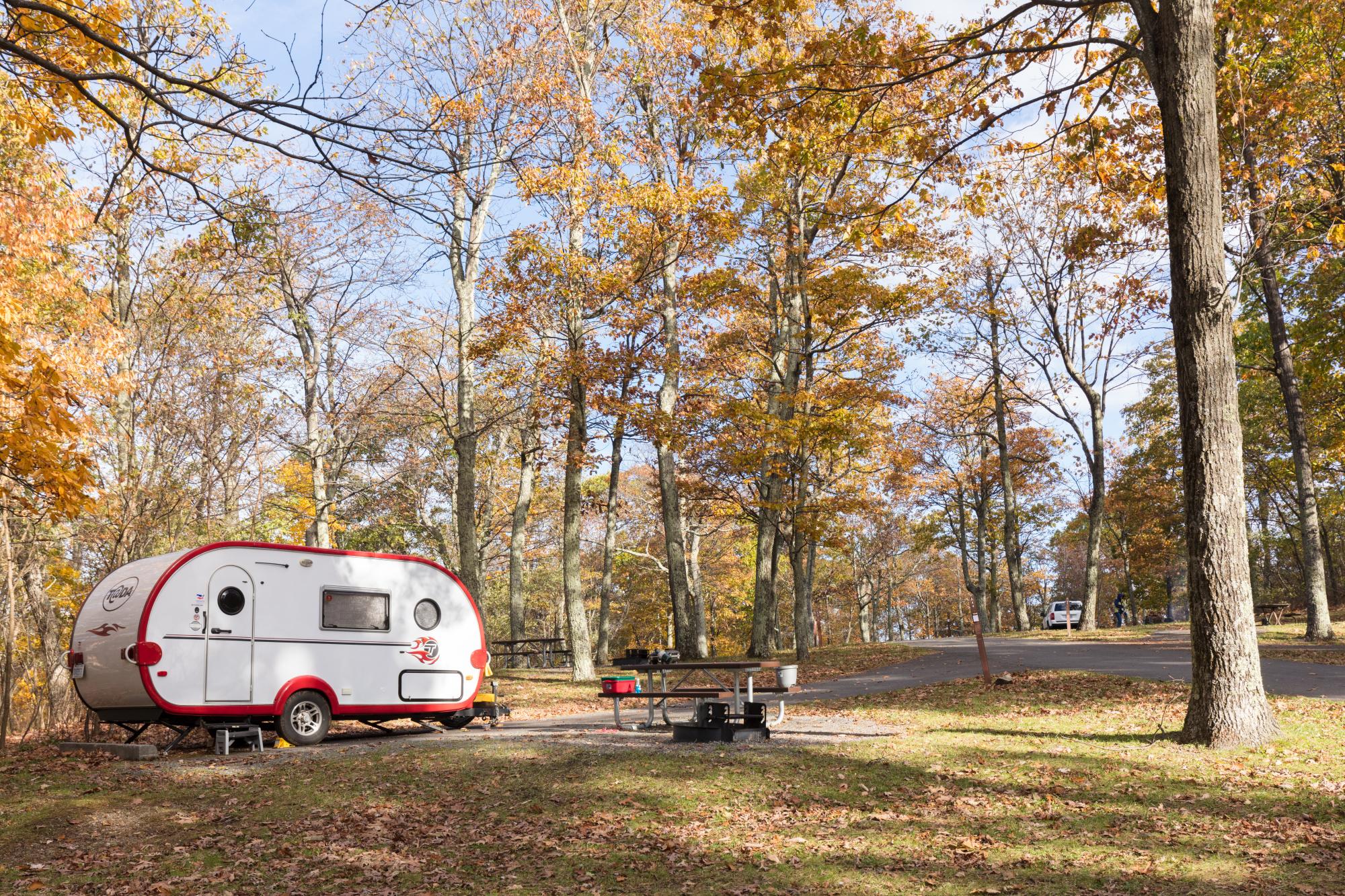
THE peak season. The Skyline Drive and Blue Ridge Parkway leaf run is Virginia's marquee event, cresting in the high country in early to mid October and dropping to the foothills by early November, with the air turning crisp and dry. The Grayson Highlands ponies graze against the turning balds near Mount Rogers, and Shenandoah campgrounds book out for leaf weekends well ahead. Reserve early and aim for midweek to dodge the Skyline Drive crawl on October weekends. This is the year's prime camping window across the whole state.
Reservations
Shenandoah's campgrounds — Big Meadows, Loft Mountain, Mathews Arm, and Lewis Mountain — are largely reservable on Recreation.gov, and they fill on fall and holiday weekends, so book well ahead for the leaf run. They are…
Permits & Signal
Dispersed camping — free, primitive, no facilities — is allowed across much of the George Washington & Jefferson National Forests, outside developed campgrounds and posted day-use areas. The rules vary by ranger district, and the Mount…
Camping Etiquette
Dispersed camping — free, primitive, no facilities — is allowed across much of the George Washington & Jefferson National Forests, outside developed campgrounds and posted day-use areas. The rules vary by ranger district, and the Mount…
§ 04 — Almanac
Four seasons, four readings
Spring
Mar–May
A strong co-season. Wildflowers run up Skyline Drive, trillium first and mountain laurel into early summer, while the waterfalls — Dark Hollow, Overall Run, Doyles River — hit full flow on snowmelt and rain. Migratory songbirds pour through the ridges, and lowland and Piedmont temperatures stay mild before summer humidity sets in. But mountain nights stay cold and the high campgrounds open gradually, so check Shenandoah and Blue Ridge Parkway openings before driving up. Black bears emerge hungry — store food in lockers from the first night. Excellent weather, but it yields the top spot to fall.
Summer
Jun–Aug
The mountains are the refuge. Shenandoah at around 3,500 feet and Mount Rogers stay genuinely cooler while the Piedmont and Tidewater turn hot and humid. The swimming lakes — Sherando and Cave Mountain — fill up, Buggs Island hits boating high season, and Abbott Lake stays cool under the Peaks of Otter. Afternoon thunderstorms build over the ridges most days, and Atlantic hurricane and tropical-remnant season opens, usually reaching Virginia as heavy inland rain. Shenandoah and the lakes grow busy, so book ahead and start hikes early. Strong, but not the peak window — see fall.
Fall
Sep–Nov
THE peak season. The Skyline Drive and Blue Ridge Parkway leaf run is Virginia's marquee event, cresting in the high country in early to mid October and dropping to the foothills by early November, with the air turning crisp and dry. The Grayson Highlands ponies graze against the turning balds near Mount Rogers, and Shenandoah campgrounds book out for leaf weekends well ahead. Reserve early and aim for midweek to dodge the Skyline Drive crawl on October weekends. This is the year's prime camping window across the whole state.
Winter
Dec–Feb
A tale of two Virginias. The Piedmont and coast stay mild, and Prince William Forest and the southern Kerr Reservoir parks hold the longest seasons. The mountains, though, take real snow and ice: Skyline Drive and stretches of the Blue Ridge Parkway close to vehicles behind gates, and the Shenandoah and most high campgrounds shut for the season. Confirm what is actually open before driving up, carry traction for icy mountain roads, and expect short days and hard overnight freezes at elevation. Plan around the closures and you can have the high country nearly to yourself.
§ 05A — Activity File
Best for Hiking & Backpacking
Virginia carries about 550 miles of the Appalachian Trail, more than any other state, and the hiking reflects it. Shenandoah stacks waterfall hollows and ridgeline views, the open balds of the Grayson Highlands roll out beneath Mount Rogers, the state high point, and Rock Castle Gorge cuts deep off the Blue Ridge Parkway.
Big Meadows — Shenandoah National Park
The Dark Hollow Falls, Rose River, and Lewis Falls loops and the Appalachian Trail all leave straight from camp in the heart of Shenandoah's central district.
Loft Mountain — Shenandoah National Park
The AT circles the campground, and trails drop through the Big Run drainage to Doyles River and Jones Run Falls from the park's highest, breeziest camp.
Grindstone — Mount Rogers National Recreation Area
The climb to Mount Rogers, Virginia's highest peak at 5,729 feet, starts near camp, with the Appalachian Trail traversing the open, windswept balds of the high country above.
Rocky Knob — Blue Ridge Parkway
The Rock Castle Gorge National Recreation Trail loops roughly 10.8 rugged miles down and back from the ridge-top campground, dropping deep into the gorge below.
§ 05B — Activity File
Best for Waterfalls & Swimming Holes
Virginia's mountain water comes two ways. Shenandoah pours off the ridge in cascades, including the park's tallest at Overall Run, while the CCC-built swimming lakes tucked into the George Washington National Forest offer sand beaches and cold, clear water made for a hot-afternoon plunge below the Blue Ridge.
Mathews Arm — Shenandoah National Park
The trail to Overall Run Falls, the tallest in Shenandoah at about 93 feet, passes rocky pools near the brink where hikers cool off, dropping from the north-district camp.
Big Meadows — Shenandoah National Park
Rose River and Dark Hollow tumble through mossy cascades and clear plunge pools, the prettiest falling water in the central district and a cool refuge on a hot afternoon.
Sherando Lake — George Washington National Forest
A sand swimming beach and bathhouse front the CCC-built lower lake below the Blue Ridge, the self-styled Jewel of the Blue Ridge and a summer-weekend favorite.
Cave Mountain Lake — George Washington National Forest
A quiet sand-beach swimming lake set in a wooded hollow near Natural Bridge, with cold mountain water and far fewer crowds than Sherando up the valley.
§ 05C — Activity File
Best for Lakes & Paddling
Beyond the swimming holes, Virginia's flatwater runs from a small Blue Ridge lake under the Peaks of Otter all the way to Buggs Island, the state's largest lake on the Carolina line. Together they cover canoeing, kayaking, and boating, plus some of the South's best crappie and bass fishing.
Peaks of Otter — Blue Ridge Parkway
Paddle or stroll the shoreline of little Abbott Lake beneath Sharp Top, one of the most photographed scenes on the entire Blue Ridge Parkway.
North Bend Park — Kerr Reservoir
Open water on Virginia's largest lake, with boating, skiing, and crappie and bass fishing from waterfront sites right on the North Carolina border.
Sherando Lake — George Washington National Forest
Paddle and fish the quiet 25-acre upper lake for trout and bass, ringed by wooded Blue Ridge slopes well above the crowded swimming beach.
Cave Mountain Lake — George Washington National Forest
A calm, no-motor hollow lake made for a canoe or an unhurried float, with trout holding in the cold inflow under the surrounding ridges.
§ 05D — Activity File
Best for Wildlife & Wild Ponies
Virginia's signature wildlife sighting is the herd of wild ponies grazing the Grayson Highlands balds near Mount Rogers. Add Shenandoah's white-tailed deer and black bears drifting through the meadows, plus the beaver-and-songbird Piedmont woods near Washington, and you have a wildlife spread that stretches the whole state.
Grindstone — Mount Rogers National Recreation Area
The base for the Grayson Highlands wild ponies, a free-roaming herd that grazes the open mountain balds and often wanders right up to hikers in the far southwest.
Big Meadows — Shenandoah National Park
White-tailed deer and black bears work the open Big Meadows clearing at dawn and dusk, making this Shenandoah's premier wildlife stage. Use the food lockers.
Oak Ridge — Prince William Forest Park
Beavers, pileated woodpeckers, and barred owls fill the largest Piedmont forest near Washington, an easy wildlife escape just south of the capital.
Loft Mountain — Shenandoah National Park
The ridge-top loops and surrounding Appalachian Trail draw deer, migrating hawks, and the occasional black bear across the open summit of the south district.
§ 07 — Q & A
Frequently asked
Fall is the prime window. The Skyline Drive and Blue Ridge Parkway leaf run cresting from early October into early November pulls the whole state to the mountains, with the air turning crisp and dry. Spring runs a close second — wildflowers bloom up the ridges and the waterfalls at Dark Hollow, Overall Run, and Doyles River hit full force on snowmelt and rain. Summer splits the choice: head to the mountains at Shenandoah and Mount Rogers for genuinely cooler air, or to the CCC swimming lakes at Sherando and Cave Mountain, though Atlantic hurricane-remnant season opens. Winter stays mild in the Piedmont and on the coast, but Skyline Drive and much of the Parkway close behind gates and the high campgrounds shut. Mountain sites book out for leaf weekends, so reserve early and aim midweek to dodge foliage traffic.
§ 08 — Adjacent Sheets