13.9 mi from the trailhead
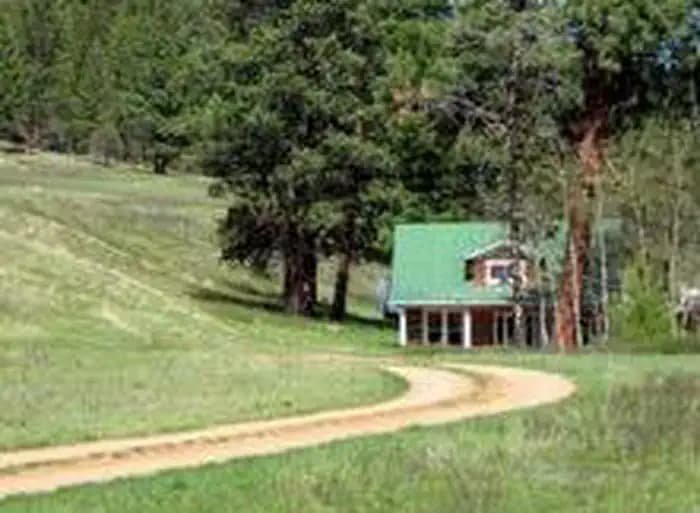
Morgan-Case Homestead
Campground · Montana
15.2 mi out & back · 2,796 ft gain · 7,841 ft high point · Very hard
In Deerlodge National Forest · Montana · U.S. Forest Service
Blackpine Ridge Trail is a 15.2 mile out and back route in Deerlodge National Forest along Black Pine and Silver King Mountain.
2,796 ft of gain round trip.
What the trail reaches, measured from the start.
The route at the trailhead. Drag with two fingers, or hold a key to zoom.
Trail data: USFS, NPS, © OpenStreetMap contributors (ODbL). Elevation: USGS 3DEP via Mapzen terrain tiles. Nearby reading: Wikipedia. Download the trail and feature data.
The closest places to sleep, measured from the trailhead.
Ranked the same way, within twenty-five miles.
 20 mi from you
19.4 mi one way · 4,205 ft gain · Very hard
Lolo National Forest · Camp 4 mi away
 16 mi from you
15.2 mi loop · 4,629 ft gain · Very hard
Lolo National Forest · Camp under a mile away
 12 mi from you
14.7 mi out & back · 4,397 ft gain · Very hard
Lolo National Forest · Camp 8 mi away
 24 mi from you
11.9 mi out & back · 2,688 ft gain · Very hard
Deerlodge National Forest · Camp 4 mi away
 18 mi from you
15.1 mi loop · 3,966 ft gain · Very hard
Welcome Creek Wilderness
 21 mi from you
19.3 mi out & back · 5,401 ft gain · Very hard
Bitterroot National Forest · Camp 2 mi away
Mon: Mostly Cloudy then Chance Light Snow · wind 2 to 7 mph W
No carrier reports signal at this spot.
Hikes that read like this one, wherever they are.
8.9 mi out & back · 1,846 ft gain · Hard
Deerlodge National Forest · Camp 6 mi away
3.7 mi out & back · 794 ft gain · Moderate
Deerlodge National Forest · Camp 6 mi away
6.5 mi out & back · 1,200 ft gain · Moderate
Deerlodge National Forest · Camp 4 mi away
13.7 mi out & back · 1,858 ft gain · Very hard
Deerlodge National Forest · Camp 8 mi away