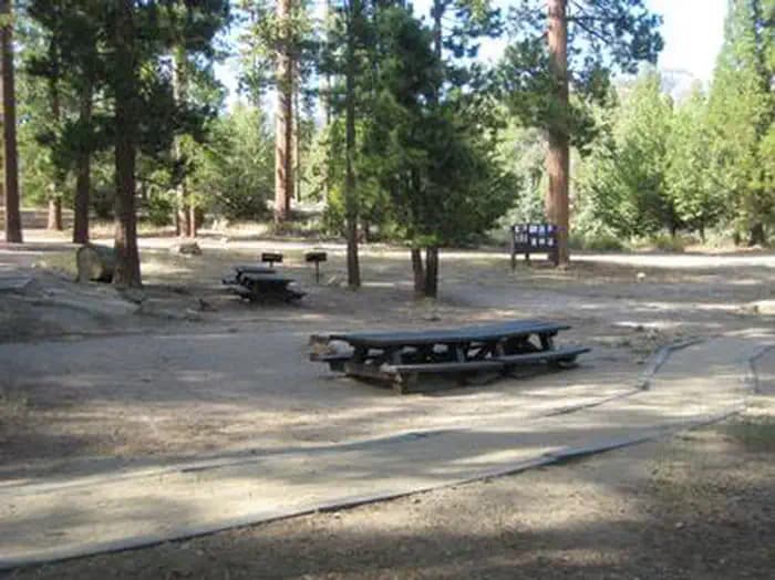
5.9 mi from the trailhead
Thomas Hunting Grounds Yellow Post Sites
Dispersed camping · California
19.3 mi loop · 6,427 ft gain · 10,666 ft high point · Very hard
From Momyer Creek Trailhead, a loop with Momyer Creek Non Wilderness, the San Bernardino Peak Trail, San Bernardino Peak, and Momyer Creek
In San Bernardino National Forest · California · U.S. Forest Service
This 19.3 mi loop from Momyer Creek Trailhead via multiple trails reaches Dollar Lake Saddle and Shields Peak in San Bernardino National Forest, climbing 6,429 ft.
6,427 ft of gain, the approach both ways included.
The closest places to sleep, measured from the trailhead.
Ranked the same way, within twenty-five miles.
What the trail reaches, measured from the start.
The hike from its start, the approach dashed. Drag with two fingers, or hold a key to zoom.
Trail data: USFS, NPS, © OpenStreetMap contributors (ODbL). Elevation: USGS 3DEP via Mapzen terrain tiles. Nearby reading: Wikipedia. Download the trail and feature data.
Campground · California
13.0 mi out & back · 4,425 ft gain · Very hard
San Bernardino National Forest · Camp 4 mi away
Hikes that read like this one, wherever they are.
10.9 mi out & back · 4,372 ft gain · Very hard
San Bernardino National Forest · Camp 6 mi away
12.2 mi out & back · 3,259 ft gain · Very hard
San Bernardino National Forest · Camp under a mile away

15.0 mi loop · 2,658 ft gain · Very hard
San Bernardino National Forest · Camp under a mile away
11.9 mi out & back · 3,107 ft gain · Very hard
San Bernardino National Forest · Camp under a mile away
Today: Rain Showers Likely · wind 10 to 15 mph W