 5.5 mi from the trailhead
Edward MacDowell Lake Day Use Facilities
Campground · NH
20.7 mi one way · 4,801 ft gain · 2,290 ft high point · Very hard
From Wapack Trail
NH · OpenStreetMap contributors
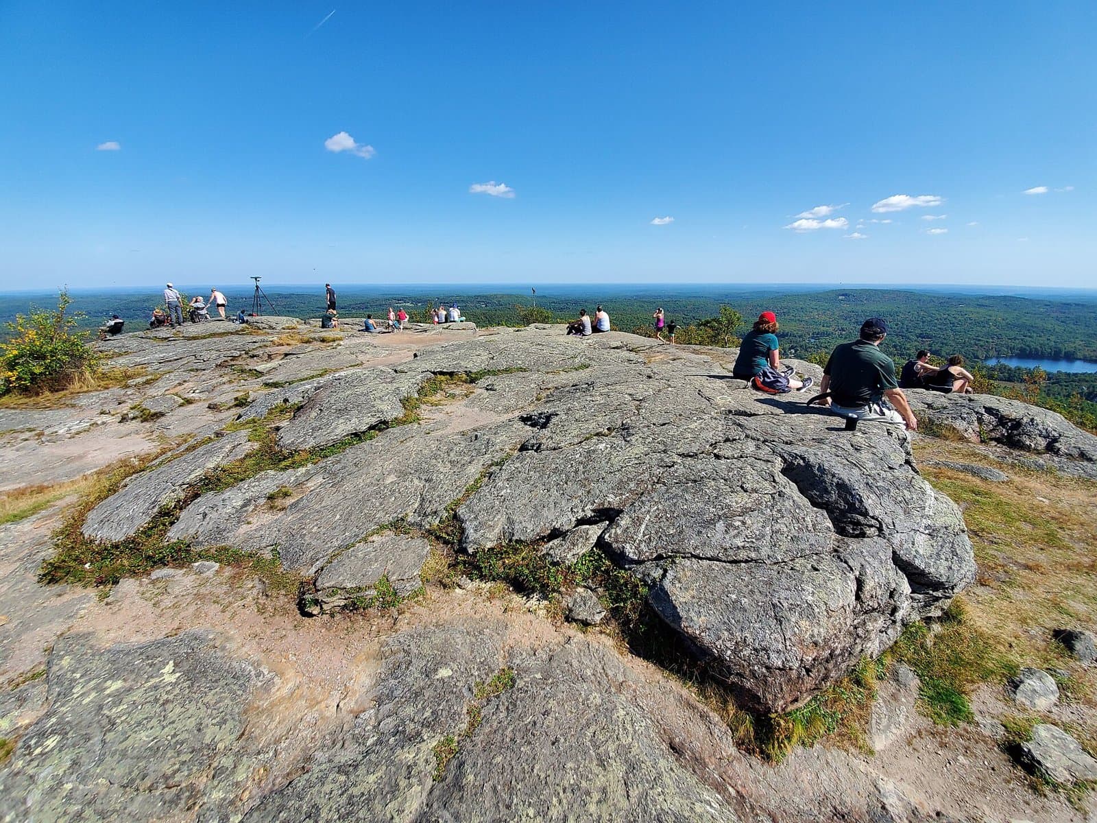
Wapack Trail is a 20.7 mi one way route with 4,858 ft of climb along multiple peaks including Pack Monadnock Mountain and Temple Mountain.
4,801 ft of gain and 4,858 ft of descent.
The closest places to sleep, measured from the trailhead.
Ranked the same way, within twenty-five miles.
What the trail reaches, measured from the start.
The route at the trailhead. Drag with two fingers, or hold a key to zoom.
Trail data: USFS, NPS, © OpenStreetMap contributors (ODbL). Elevation: USGS 3DEP via Mapzen terrain tiles. Nearby reading: Wikipedia. Download the trail and feature data.
22.2 mi one way · 3,193 ft gain · Very hard
MA · Camp 5 mi away
Hikes that read like this one, wherever they are.

44.9 mi one way · 9,734 ft gain · Very hard
NH
8.6 mi out & back · 1,687 ft gain · Hard
NH

1.3 mi out & back · 686 ft gain · Easy
NH

4.1 mi out & back · 2,641 ft gain · Very hard
White Mountain National Forest · Camp 3 mi away
Mon: Partly Sunny then Slight Chance Rain Showers · wind 5 to 10 mph W