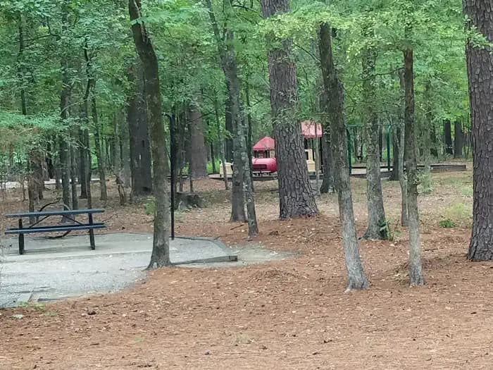
 13.4 mi from the trailhead
Malden Lake Campground
Campground · TX
69.7 mi one way · 1,379 ft gain · 574 ft high point · Very hard
TX · OpenStreetMap contributors
This one-way trail spans 69.7 miles with 1,379 feet of climb, passing along Old T and P Lake with Brooks Lake, Soil Conservation Service Site 2 Reservoir, and Langford Club Lake nearby.
1,379 ft of gain and 1,165 ft of descent.
The closest places to sleep, measured from the trailhead.
What the trail reaches, measured from the start.
The route at the trailhead. Drag with two fingers, or hold a key to zoom.
Trail data: USFS, NPS, © OpenStreetMap contributors (ODbL). Elevation: USGS 3DEP via Mapzen terrain tiles. Nearby reading: Wikipedia. Download the trail and feature data.
Campground · TX
Hikes that read like this one, wherever they are.
9.6 mi loop · 397 ft gain · Moderate
TX · Camp 8 mi away
26.9 mi one way · 1,797 ft gain · Very hard
Sabine National Forest · Camp 14 mi away
8.9 mi loop · 487 ft gain · Moderate
TX · Camp 1 mi away
5.4 mi loop · 275 ft gain · Moderate
TX · Camp 8 mi away
Mon: Patchy Fog then Partly Sunny · wind 0 to 5 mph N
