 7.9 mi from the trailhead
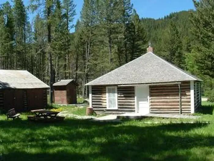
Moose Creek Cabin
Campground · Montana
8.3 mi out & back · 1,688 ft gain · 5,106 ft high point · Hard
Via Wakina SKY, Barking Dog, Water Line, the TR Trail, and Rodney Ridge (3.7 mi)
Montana · U.S. Forest Service
Roger Fuches spans 8.3 miles out and back via Wakina Sky, Barking Dog, Water Line, Tr Trail, and Rodney Ridge.
1,688 ft of gain round trip.
The closest places to sleep, measured from the trailhead.
Ranked the same way, within twenty-five miles.
The hike from its start, the approach dashed. Drag with two fingers, or hold a key to zoom.
Trail data: USFS, NPS, © OpenStreetMap contributors (ODbL). Elevation: USGS 3DEP via Mapzen terrain tiles. Nearby reading: Wikipedia. Download the trail and feature data.
Campground
14.6 mi out & back · 2,996 ft gain · Very hard
Deerlodge National Forest · Camp 10 mi away
Hikes that read like this one, wherever they are.
8.2 mi out & back · 1,628 ft gain · Hard
Montana · Camp 8 mi away
5.1 mi out & back · 1,118 ft gain · Moderate
Montana · Camp 9 mi away
4.2 mi out & back · 1,234 ft gain · Moderate
Montana · Camp 6 mi away
8.0 mi out & back · 1,397 ft gain · Hard
Montana · Camp 8 mi away
Mon: Mostly Cloudy · wind 3 mph SSW


