1.6 mi from the trailhead
Iron Creek Campground
Campground · New Mexico
7.5 mi loop · 2,180 ft gain · 9,320 ft high point · Hard
Loop with Hillsboro Bypass, Black Range Crest, CDT jov, and Railroad Canyon
In Gila National Forest · New Mexico · U.S. Forest Service
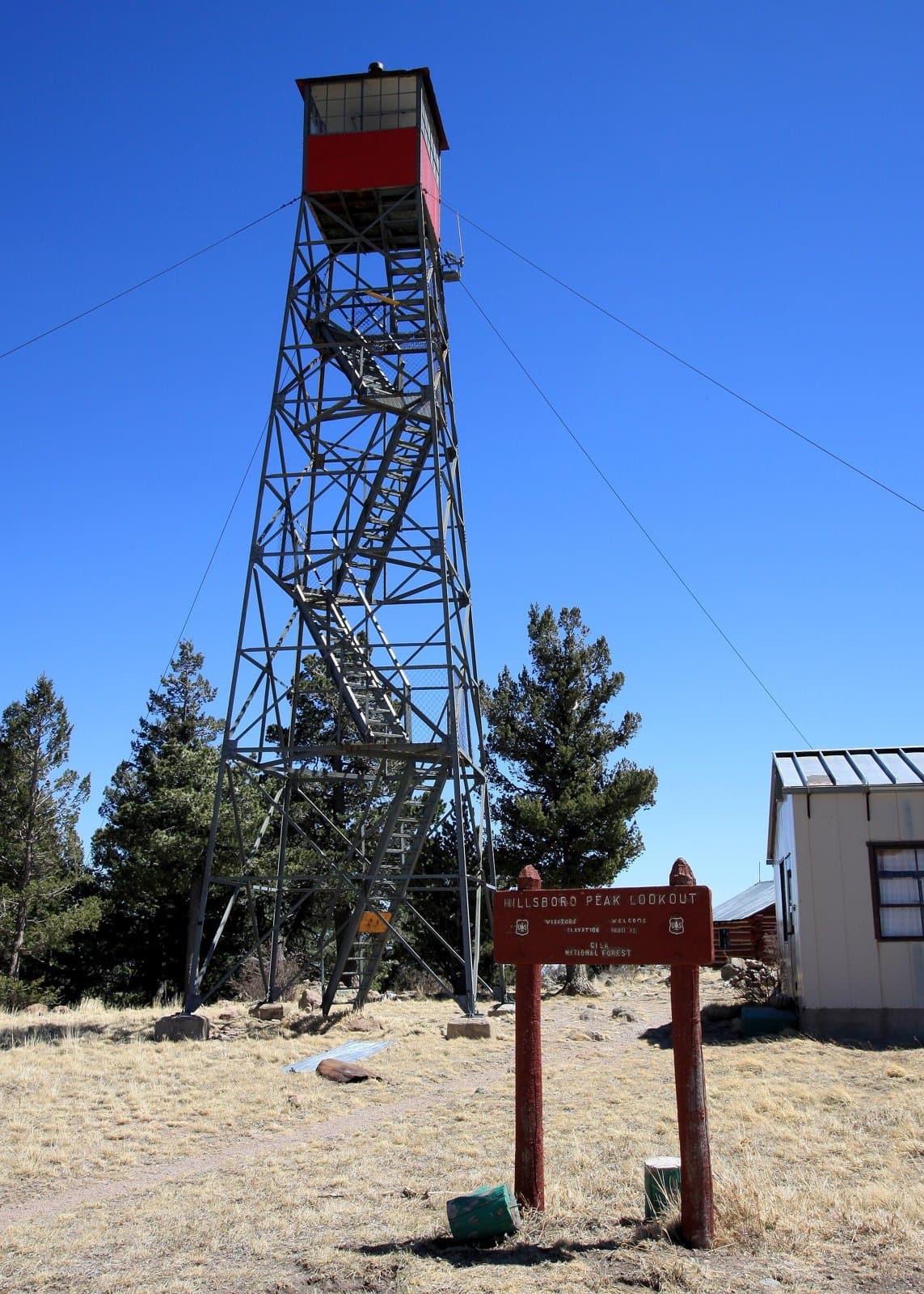
East Railroad loops 7.5 mi in Gila National Forest near Hillsboro Peak using Hillsboro Bypass, Black Range Crest, Cdt Jov, and Railroad Canyon trails, climbing 2,180 ft to 9,320 ft.
2,180 ft of gain around the loop.
The closest places to sleep, measured from the trailhead.
Ranked the same way, within twenty-five miles.
What the trail reaches, measured from the start.
The route at the trailhead. Drag with two fingers, or hold a key to zoom.
Trail data: USFS, NPS, © OpenStreetMap contributors (ODbL). Elevation: USGS 3DEP via Mapzen terrain tiles. Nearby reading: Wikipedia. Download the trail and feature data.
Campground · New Mexico
9.0 mi loop · 2,692 ft gain · Hard
Gila National Forest · Camp 11 mi away
Hikes that read like this one, wherever they are.

3.4 mi loop · 867 ft gain · Moderate
Gila National Forest · Camp 3 mi away
17.0 mi one way · 5,140 ft gain · Very hard
Gila National Forest · Camp 6 mi away
30.1 mi one way · 2,373 ft gain · Very hard
Gila National Forest · Camp under a mile away
6.6 mi out & back · 2,985 ft gain · Hard
Gila National Forest · Camp 3 mi away
Sat: Slight Chance Rain Showers then Mostly Cloudy · wind 3 to 9 mph SW
No carrier reports signal at this spot.