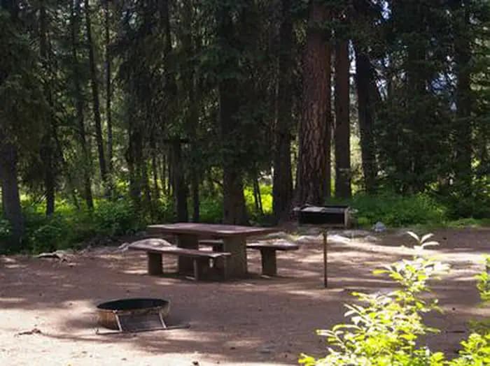
1.2 mi from the trailhead
Picnic Point (Id)
Campground · Idaho
1.4 mi loop · 250 ft gain · 5,438 ft high point · Easy
Loop with Kline Mountain South
Idaho · U.S. Forest Service
250 ft of gain around the loop.
The closest places to sleep, measured from the trailhead.
Ranked the same way, within twenty-five miles.
What the trail reaches, measured from the start.
The route at the trailhead. Drag with two fingers, or hold a key to zoom.
Trail data: USFS, NPS, © OpenStreetMap contributors (ODbL). Elevation: USGS 3DEP via Mapzen terrain tiles. Nearby reading: Wikipedia. Download the trail and feature data.
Campground · Idaho
9.5 mi loop · 3,178 ft gain · Very hard
Frank Church-River Of No Return Wilderness · Camp 2 mi away
Today: Partly Sunny · wind 3 mph WSW
No carrier reports signal at this spot.