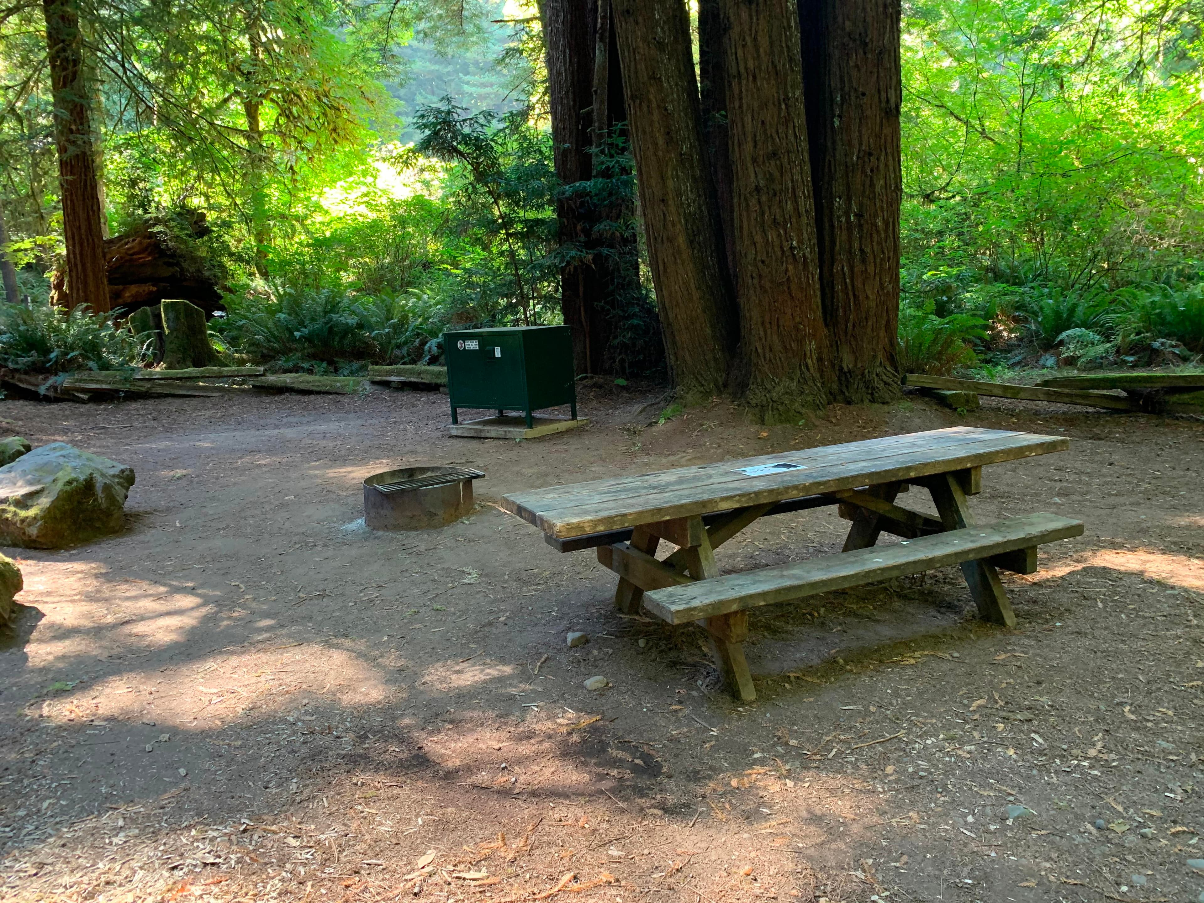
 6.1 mi from the trailhead
Mill Creek Campground - Del Norte Coast Redwoods State Park
Campground · California
122.0 mi one way · 31,376 ft gain · 5,972 ft high point · Very hard
California · OpenStreetMap contributors
This 122-mile one-way trail climbs 31,376 feet across multiple peaks and passes including Kings Saddle, Baldy Peak, Harrington Mountain, and Wilderness Falls.
31,376 ft of gain and 30,029 ft of descent.
The closest places to sleep, measured from the trailhead.
Ranked the same way, within twenty-five miles.
What the trail reaches, measured from the start.
The route at the trailhead. Drag with two fingers, or hold a key to zoom.
Trail data: USFS, NPS, © OpenStreetMap contributors (ODbL). Elevation: USGS 3DEP via Mapzen terrain tiles. Nearby reading: Wikipedia. Download the trail and feature data.
Campground · California
14.3 mi out & back · 2,194 ft gain · Very hard
Redwood National and State Parks · Camp 10 mi away
Hikes that read like this one, wherever they are.
29.7 mi one way · 7,993 ft gain · Very hard
California · Camp 13 mi away
22.2 mi out & back · 7,183 ft gain · Very hard
California · Camp 2 mi away

17.9 mi loop · 4,622 ft gain · Very hard
Snow Mountain Wilderness · Camp 8 mi away

6.7 mi out & back · 1,811 ft gain · Hard
Sierra National Forest · Camp under a mile away
Sat: Mostly Cloudy · wind 6 to 14 mph SSE


