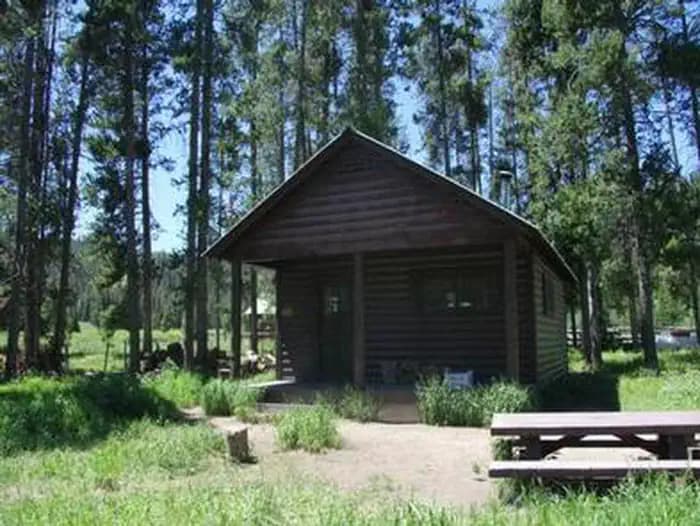
6.7 mi from the trailhead
Sherman Guard Station and Bunkhouse
Campground · Wyoming
13.4 mi loop · 2,979 ft gain · 9,580 ft high point · Very hard
Loop with the Wyoming Range National Recreation Trail, the WY Range Nat Rec Trail, and Corlos Creek
In Bridger National Forest · Wyoming · U.S. Forest Service
South Fork North Horse Creek is a 13.4-mile loop in Bridger National Forest using Wyoming Range National Recreation Trail and Corlos Creek with 2,984 feet of climb.
2,979 ft of gain around the loop.
The closest places to sleep, measured from the trailhead.
Ranked the same way, within twenty-five miles.
The route at the trailhead. Drag with two fingers, or hold a key to zoom.
Trail data: USFS, NPS, © OpenStreetMap contributors (ODbL). Elevation: USGS 3DEP via Mapzen terrain tiles. Nearby reading: Wikipedia. Download the trail and feature data.
Campground · Wyoming
15.3 mi loop · 4,672 ft gain · Very hard
Bridger National Forest · Camp 4 mi away
Hikes that read like this one, wherever they are.
15.8 mi out & back · 3,503 ft gain · Very hard
Bridger National Forest · Camp 6 mi away
11.2 mi loop · 2,319 ft gain · Very hard
Bridger National Forest · Camp 2 mi away
10.3 mi loop · 2,668 ft gain · Very hard
Bridger National Forest · Camp 2 mi away
10.9 mi out & back · 3,509 ft gain · Very hard
Bridger National Forest · Camp 6 mi away
No carrier reports signal at this spot.
Today: Chance Snow Showers · wind 5 to 10 mph SSW