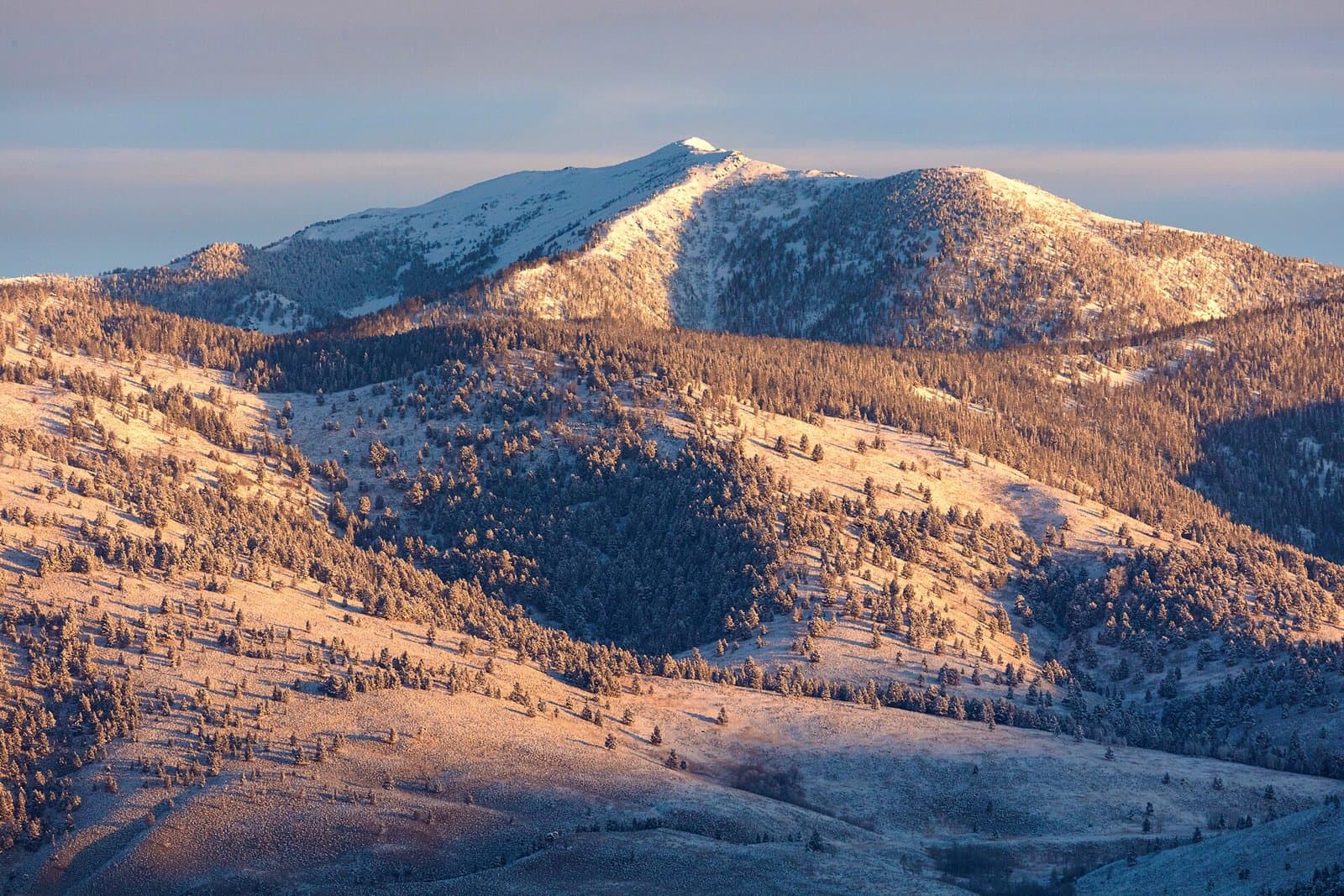
7.7 mi from the trailhead
Pattee Canyon Picnic Area
Campground · Montana
9.1 mi loop · 1,469 ft gain · 4,980 ft high point · Hard
From Rattlesnake Trailhead, a loop with the Sawmill Gulch Cutoff, Sawmill Gulch Wooten Ranch, Rattlesnake Creek, Spring Gulch, and Stuart Peak
In Lolo National Forest · Montana · U.S. Forest Service
This 9.1-mile loop from Rattlesnake Trailhead reaches Hogback Hill in Lolo National Forest within Rattlesnake National Recreation Area.
1,469 ft of gain, the approach both ways included.
The closest places to sleep, measured from the trailhead.
Ranked the same way, within twenty-five miles.
What the trail reaches, measured from the start.
The hike from its start, the approach dashed. Drag with two fingers, or hold a key to zoom.
Trail data: USFS, NPS, © OpenStreetMap contributors (ODbL). Elevation: USGS 3DEP via Mapzen terrain tiles. Nearby reading: Wikipedia. Download the trail and feature data.
6.1 mi out & back · 2,159 ft gain · Hard
Montana · Camp 4 mi away
Hikes that read like this one, wherever they are.

5.7 mi loop · 348 ft gain · Moderate
Lolo National Forest · Camp 8 mi away
22.2 mi out & back · 7,690 ft gain · Very hard
Lolo National Forest · Camp 7 mi away
7.1 mi loop · 418 ft gain · Moderate
Lolo National Forest · Camp 8 mi away
7.1 mi loop · 435 ft gain · Moderate
Lolo National Forest · Camp 8 mi away
Tue: Mostly Cloudy · wind 0 to 3 mph ESE