 3.1 mi from the trailhead
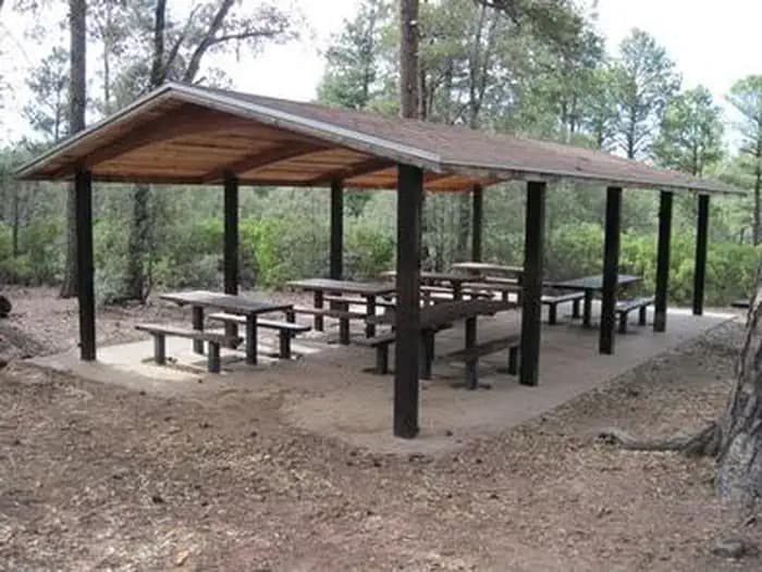
Reef Townsite Group Area
Campground · Arizona
8.4 mi out & back · 2,574 ft gain · 7,195 ft high point · Hard
Via Barchas Ranch Trail 9, Barchas Ranch Trail 7, Barchas Ranch Trail 6, Barchas Ranch Trail 3, Barchas Ranch Trail 4, Barchas Ranch Trail 5, and Brown Canyon (2.5 mi)
In Coronado National Forest · Arizona · U.S. Forest Service
Pomona Mine is an 8.4-mile out and back trail in Coronado National Forest via Barchas Ranch and Brown Canyon trails, reaching 7,195 feet.
2,574 ft of gain round trip.
The closest places to sleep, measured from the trailhead.
Ranked the same way, within twenty-five miles.
The hike from its start, the approach dashed. Drag with two fingers, or hold a key to zoom.
Trail data: USFS, NPS, © OpenStreetMap contributors (ODbL). Elevation: USGS 3DEP via Mapzen terrain tiles. Nearby reading: Wikipedia. Download the trail and feature data.
Campground · Arizona
5.6 mi out & back · 2,027 ft gain · Hard
Coronado National Forest · Camp under a mile away
Hikes that read like this one, wherever they are.
9.5 mi out & back · 2,534 ft gain · Hard
Coronado National Forest · Camp 3 mi away
2.0 mi loop · 1,086 ft gain · Hard
Coronado National Forest
15.1 mi out & back · 6,385 ft gain · Very hard
Coronado National Forest · Camp under a mile away
10.5 mi out & back · 3,129 ft gain · Very hard
Coronado National Forest
Sun: Slight Chance Showers And Thunderstorms then Showers And Thunderstorms · wind 13 to 17 mph SW


