19 mi from you
Doodletown Bridle Path
- Ends at a waterfall
- Inside Appalachian National Scenic Trail
- 3,927 ft of climbing
9.4 mi loop · 3,927 ft gain · Very hard
Appalachian National Scenic Trail
3.7 mi loop · 766 ft gain · 694 ft high point · Moderate
Loop with the Dogwood Lane Trail, the Pink Shortcut Trail, and the Old Cedar Trail
NJ · OpenStreetMap contributors
This loop near Campgaw Mountain ascends 768 feet via Dogwood Lane Trail, Pink Shortcut Trail, Old Cedar Trail, and other connectors.
766 ft of gain, the approach both ways included.
Ranked the same way, within twenty-five miles.
What the trail reaches, measured from the start.
The hike from its start, the approach dashed. Drag with two fingers, or hold a key to zoom.
Trail data: USFS, NPS, © OpenStreetMap contributors (ODbL). Elevation: USGS 3DEP via Mapzen terrain tiles. Nearby reading: Wikipedia. Download the trail and feature data.
7.7 mi out & back · 3,931 ft gain · Very hard
Appalachian National Scenic Trail
Hikes that read like this one, wherever they are.
2.8 mi out & back · 396 ft gain · Easy
NJ
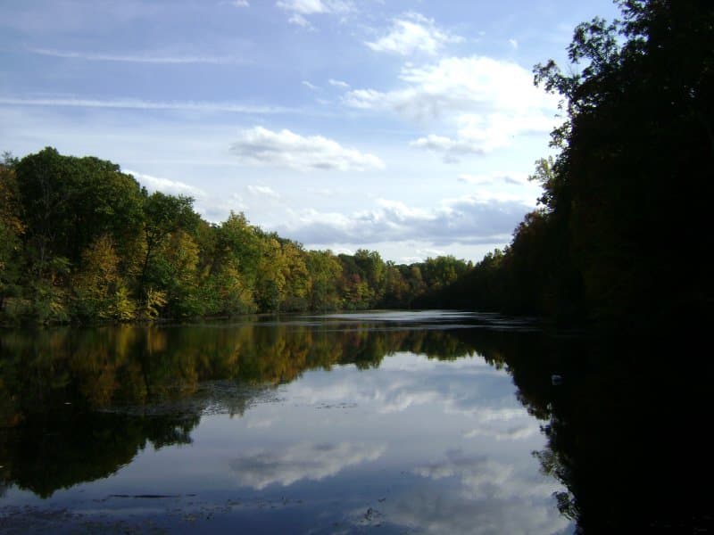
3.7 mi loop · 485 ft gain · Moderate
NJ
3.5 mi out & back · 321 ft gain · Easy
NJ
2.6 mi out & back · 181 ft gain · Easy
NJ
Today: Sunny · wind 8 to 14 mph W


