 6.0 mi from the trailhead
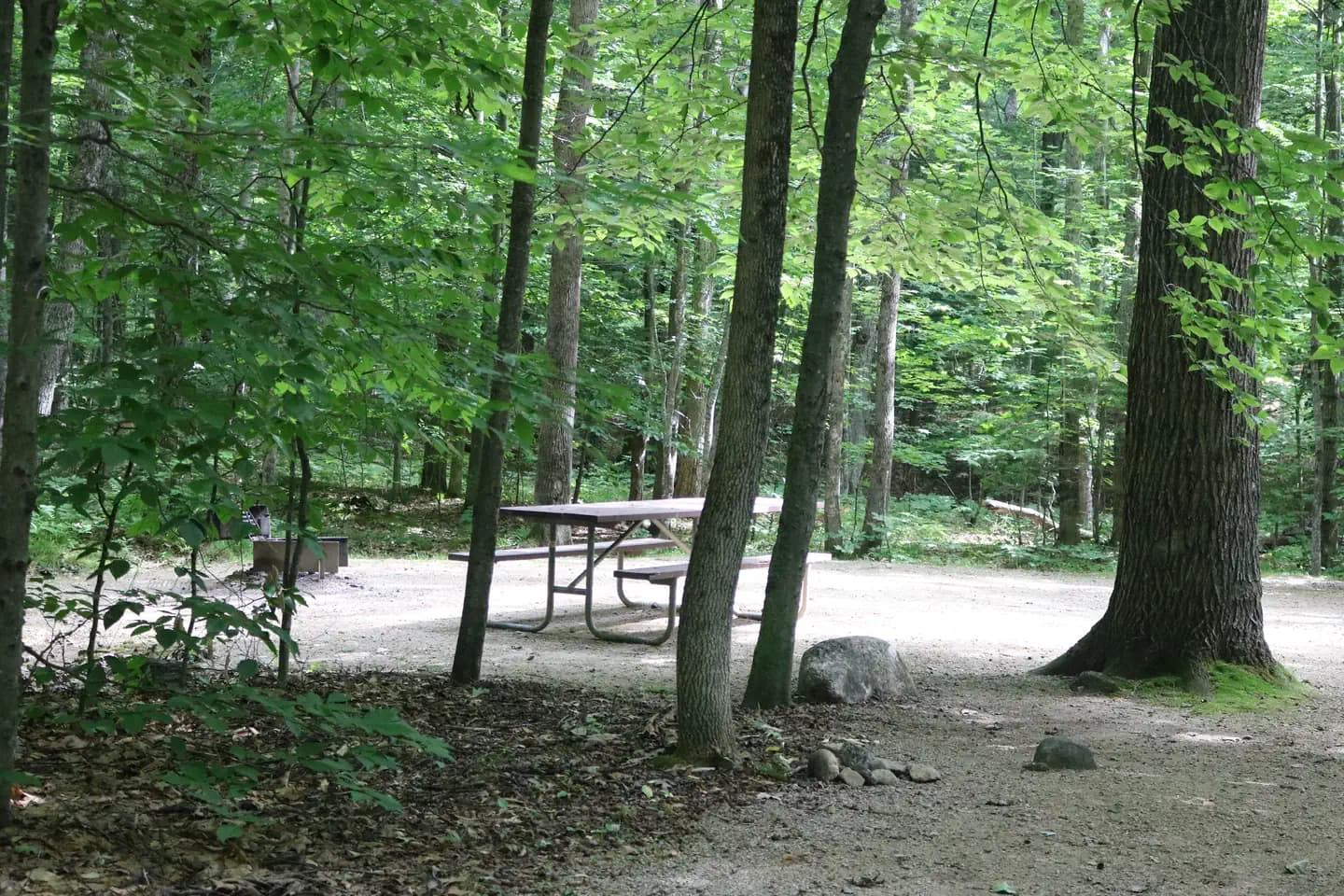
Covered Bridge
Campground · NH
7.4 mi out & back · 1,458 ft gain · 1,362 ft high point · Moderate
From Diana's Bath Trailhead via the Moat Mountain Trail, the Red Ridge Trail, Red Ridge Link, the White Horse Ledge Trail, and the Upper Stony Ridge Trail (3.5 mi)
In White Mountain National Forest · NH · U.S. Forest Service
1,458 ft of gain round trip.
The closest places to sleep, measured from the trailhead.
Ranked the same way, within twenty-five miles.
What the trail reaches, measured from the start.
The hike from its start, the approach dashed. Drag with two fingers, or hold a key to zoom.
Trail data: USFS, NPS, © OpenStreetMap contributors (ODbL). Elevation: USGS 3DEP via Mapzen terrain tiles. Nearby reading: Wikipedia. Download the trail and feature data.
Campground · NH
9.7 mi out & back · 5,134 ft gain · Moderate
White Mountain National Forest · Camp 3 mi away
Sat: Mostly Cloudy then Slight Chance Light Rain · wind 10 mph NE


