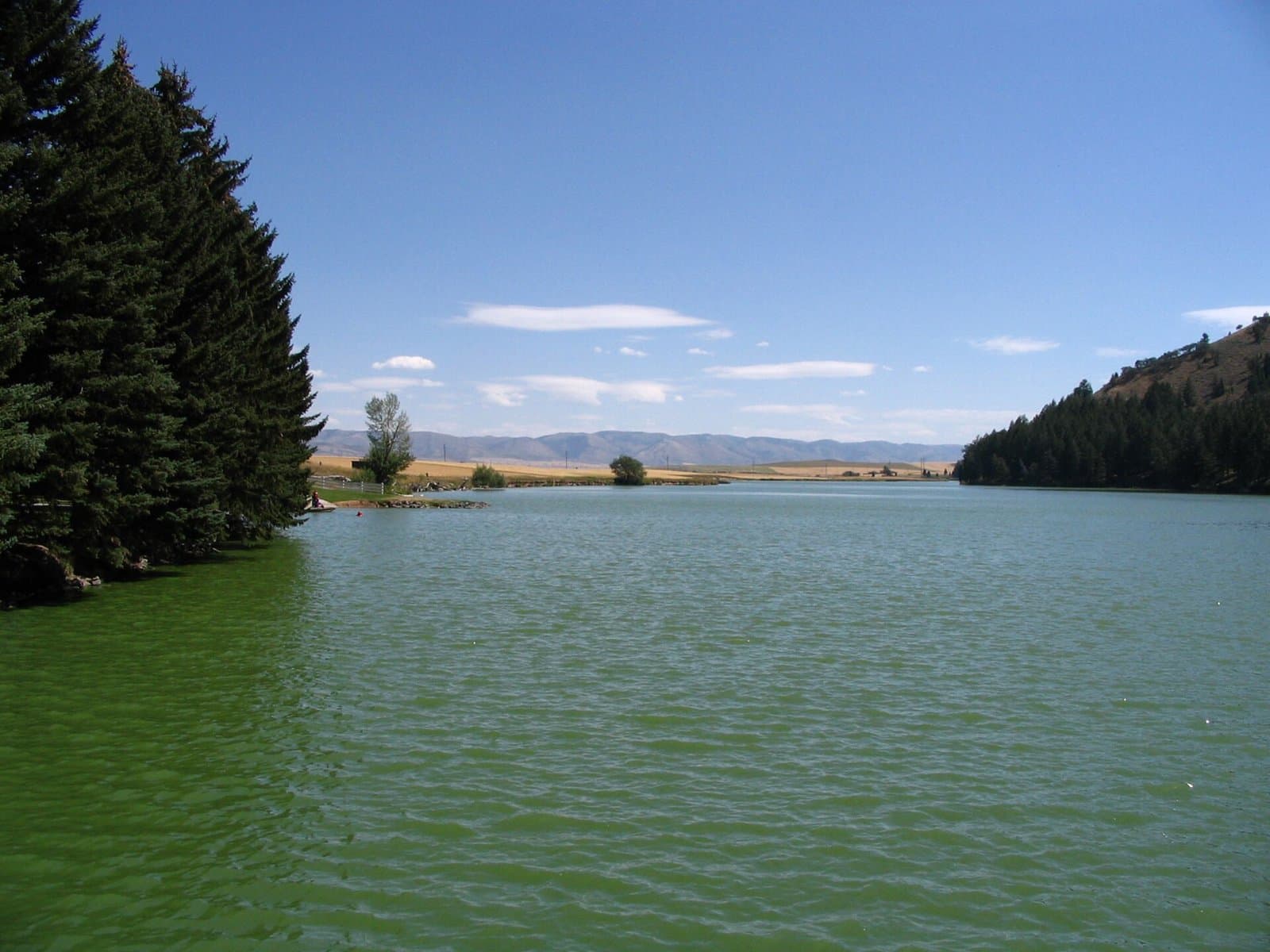
12.6 mi from the trailhead
Yellowjacket Guard Station
Campground · Idaho
5.1 mi loop · 1,252 ft gain · 4,360 ft high point · Moderate
Loop with Bear Creek Pt., Middle Fork River, and Brush Creek
Idaho · U.S. Forest Service
Brush Cr-Sheep Cr/Cross Trail is a 5.1 mi loop via Brush Creek, Middle Fork River, and Bear Creek Pt., climbing 1,262 ft to 4,360 ft.
1,252 ft of gain around the loop.
The closest places to sleep, measured from the trailhead.
Ranked the same way, within twenty-five miles.
The route at the trailhead. Drag with two fingers, or hold a key to zoom.
Trail data: USFS, NPS, © OpenStreetMap contributors (ODbL). Elevation: USGS 3DEP via Mapzen terrain tiles. Nearby reading: Wikipedia. Download the trail and feature data.
14.4 mi out & back · 4,979 ft gain · Very hard
Frank Church-River Of No Return Wilderness
Hikes that read like this one, wherever they are.
23.0 mi out & back · 6,841 ft gain · Very hard
Idaho · Camp 13 mi away
4.6 mi out & back · 889 ft gain · Moderate
Caribou National Forest · Camp 12 mi away
2.9 mi out & back · 1,061 ft gain · Moderate
Nezperce National Forest · Camp 8 mi away
9.4 mi out & back · 967 ft gain · Hard
Idaho · Camp 6 mi away
No carrier reports signal at this spot.
Today: Areas Of Fog then Slight Chance Rain Showers · wind 2 mph NNE