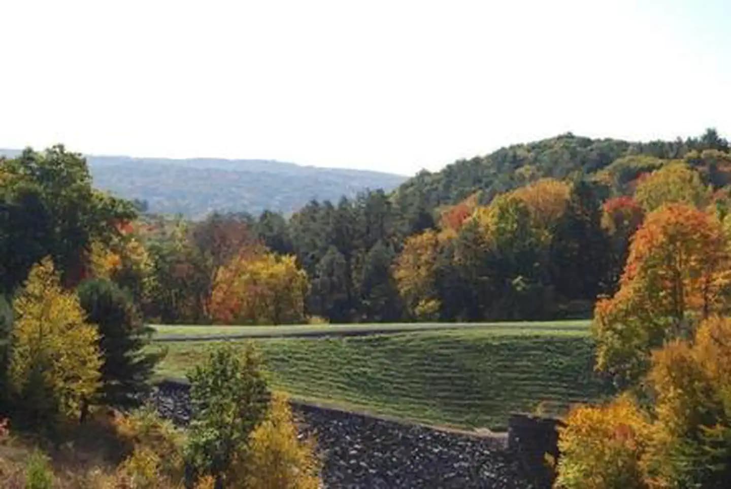
 10.4 mi from the trailhead
Hop Brook Lake Recreation Area
Campground · CT
4.7 mi loop · 1,257 ft gain · 641 ft high point · Moderate
Loop with the Quinnipiac Trail, the Judge Cook's Oxen Trail, and the Tower Trail
CT · OpenStreetMap contributors
This 4.7 mi loop climbs 1,562 ft via Quinnipiac Trail, Judge Cook's Oxen Trail, and Tower Trail, reaching multiple viewpoints.
1,257 ft of gain, the approach both ways included.
The closest places to sleep, measured from the trailhead.
Ranked the same way, within twenty-five miles.
What the trail reaches, measured from the start.
The hike from its start, the approach dashed. Drag with two fingers, or hold a key to zoom.
Trail data: USFS, NPS, © OpenStreetMap contributors (ODbL). Elevation: USGS 3DEP via Mapzen terrain tiles. Nearby reading: Wikipedia. Download the trail and feature data.
12.2 mi loop · 1,654 ft gain · Hard
CT
Hikes that read like this one, wherever they are.
4.1 mi out & back · 1,378 ft gain · Moderate
CT · Camp 10 mi away
3.0 mi out & back · 1,015 ft gain · Moderate
CT · Camp 10 mi away
7.3 mi out & back · 2,076 ft gain · Hard
CT · Camp 10 mi away
19.5 mi one way · 4,289 ft gain · Very hard
CT · Camp 6 mi away
Sun: Areas Of Frost then Sunny · wind 1 to 6 mph W


