3.4 mi from the trailhead
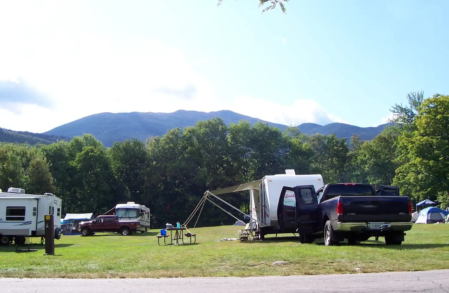
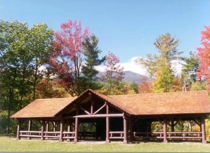
Barnes Field Campground
Campground · NH
14.1 mi out & back · 8,521 ft gain · 5,154 ft high point · Very hard
From Randolph East via the Howker Ridge Trail, Howker Ridge, Pine Link, the Appalachian Trail, and Osgood (3.8 mi)
NH · U.S. Forest Service
Daniel Webster-Scout is a 14.1-mile out and back from Randolph East via Howker Ridge Trail, gaining 8,521 feet and passing Blueberry Ledge, Coosauk Fall, and Hitchcock Fall.
8,521 ft of gain round trip.
The closest places to sleep, measured from the trailhead.
Ranked the same way, within twenty-five miles.
What the trail reaches, measured from the start.
The hike from its start, the approach dashed. Drag with two fingers, or hold a key to zoom.
Trail data: USFS, NPS, © OpenStreetMap contributors (ODbL). Elevation: USGS 3DEP via Mapzen terrain tiles. Nearby reading: Wikipedia. Download the trail and feature data.
Campground · NH
9.7 mi out & back · 5,134 ft gain · Very hard
White Mountain National Forest · Camp 3 mi away
Hikes that read like this one, wherever they are.
14.2 mi out & back · 8,445 ft gain · Very hard
NH · Camp 3 mi away
21.9 mi out & back · 8,920 ft gain · Very hard
Appalachian National Scenic Trail · Camp under a mile away

18.0 mi out & back · 7,388 ft gain · Very hard
White Mountain Purchase Unit · Camp 3 mi away
14.3 mi one way · 1,020 ft gain · Hard
ME · Camp 4 mi away
Sun: Rain And Snow then Mostly Cloudy · wind 10 to 15 mph W