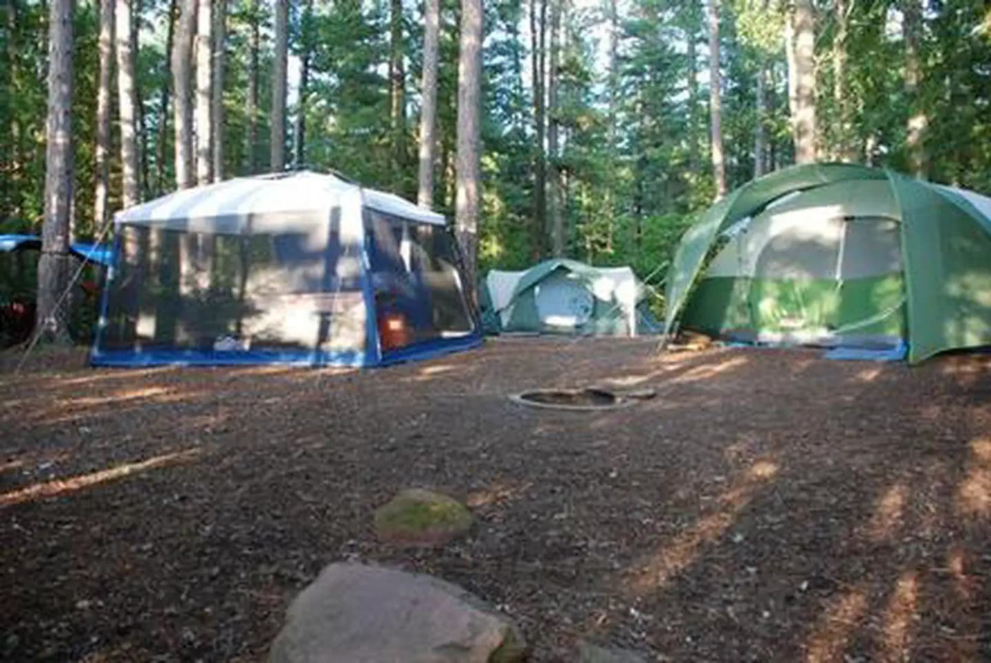
9.0 mi from the trailhead
Rice Lake
Dispersed camping
21.9 mi out & back · 3,178 ft gain · 1,635 ft high point · Very hard
From Onion River Road Trailhead via the Lutsen Connector Bike Trail, the Superior Hiking Trail, and the North Country National Scenic Trail (10.0 mi)
In Superior National Forest · MN · U.S. Forest Service
White Sky Rock is a 21.9-mile out and back route from the Onion River Road Trailhead in Superior National Forest, climbing 3,178 feet past Poplar River Falls and Lake Agnes with Eagle Mountain near the route.
3,178 ft of gain round trip.
The closest places to sleep, measured from the trailhead.
Ranked the same way, within twenty-five miles.
What the trail reaches, measured from the start.
The hike from its start, the approach dashed. Drag with two fingers, or hold a key to zoom.
Trail data: USFS, NPS, © OpenStreetMap contributors (ODbL). Elevation: USGS 3DEP via Mapzen terrain tiles. Nearby reading: Wikipedia. Download the trail and feature data.
Campground · MN
13.9 mi one way · 1,464 ft gain · Hard
Superior National Forest · Camp 9 mi away
Hikes that read like this one, wherever they are.
17.8 mi out & back · 3,483 ft gain · Very hard
Superior National Forest · Camp 11 mi away
65.8 mi one way · 9,319 ft gain · Very hard
Superior National Forest · Camp 2 mi away
7.7 mi out & back · 2,266 ft gain · Hard
Superior National Forest · Camp under a mile away
20.3 mi one way · 2,624 ft gain · Very hard
Superior National Forest · Camp 12 mi away
Thu: Mostly Cloudy · wind 10 to 15 mph N