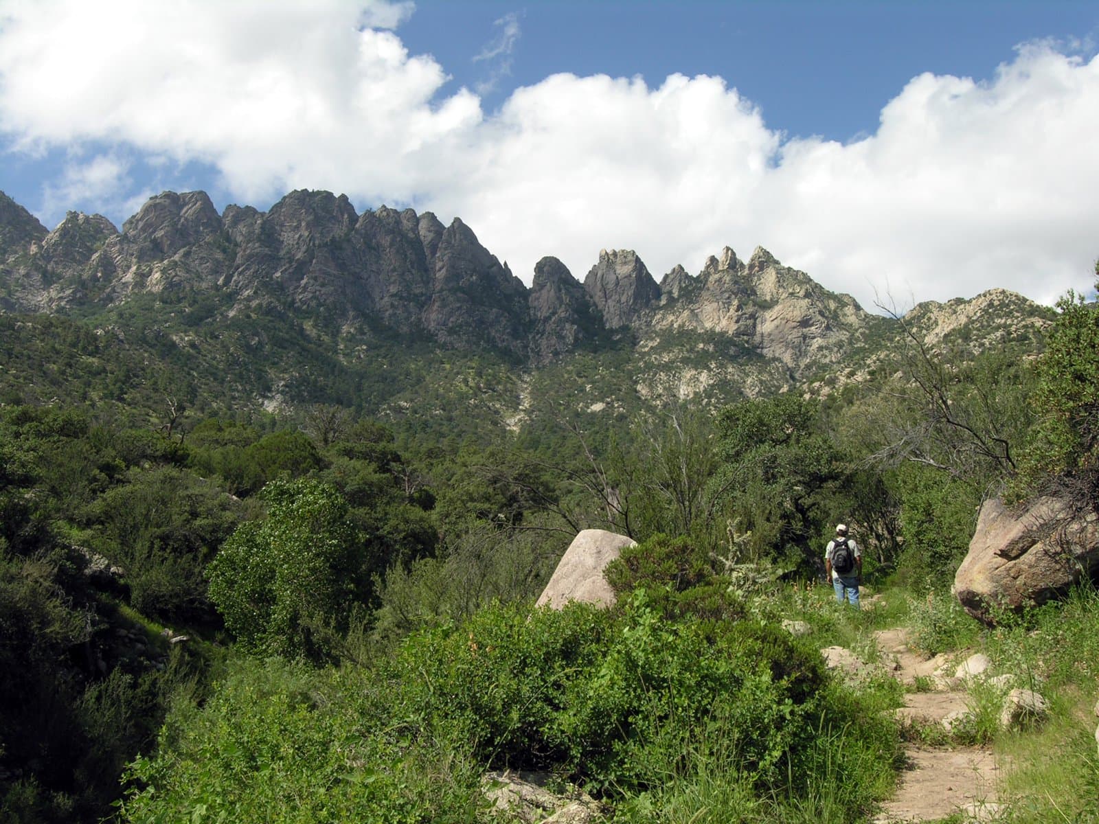
 5.5 mi from the trailhead
Aguirre Spring Recreation Area and Campground
Campground · New Mexico
27.9 mi one way · 1,714 ft gain · 5,164 ft high point · Very hard
New Mexico · OpenStreetMap contributors
Sierra Vista Trail spans 27.9 miles one way across New Mexico near Peña Blanca and Bishop Cap peaks, managed by the US Bureau of Land Management.
1,714 ft of gain and 2,111 ft of descent.
The closest places to sleep, measured from the trailhead.
What the trail reaches, measured from the start.
The route at the trailhead. Drag with two fingers, or hold a key to zoom.
Trail data: USFS, NPS, © OpenStreetMap contributors (ODbL). Elevation: USGS 3DEP via Mapzen terrain tiles. Nearby reading: Wikipedia. Download the trail and feature data.
Hikes that read like this one, wherever they are.
3.9 mi out & back · 399 ft gain · Moderate
New Mexico
4.7 mi out & back · 1,046 ft gain · Moderate
Cibola National Forest · Camp 2 mi away
9.7 mi out & back · 3,065 ft gain · Very hard
Cibola National Forest · Camp under a mile away
12.4 mi out & back · 2,141 ft gain · Very hard
New Mexico · Camp 4 mi away
Today: Mostly Cloudy · wind 9 mph ESE