 2.2 mi from the trailhead
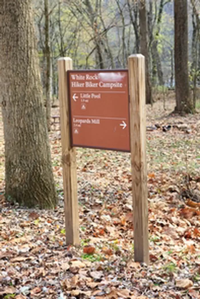
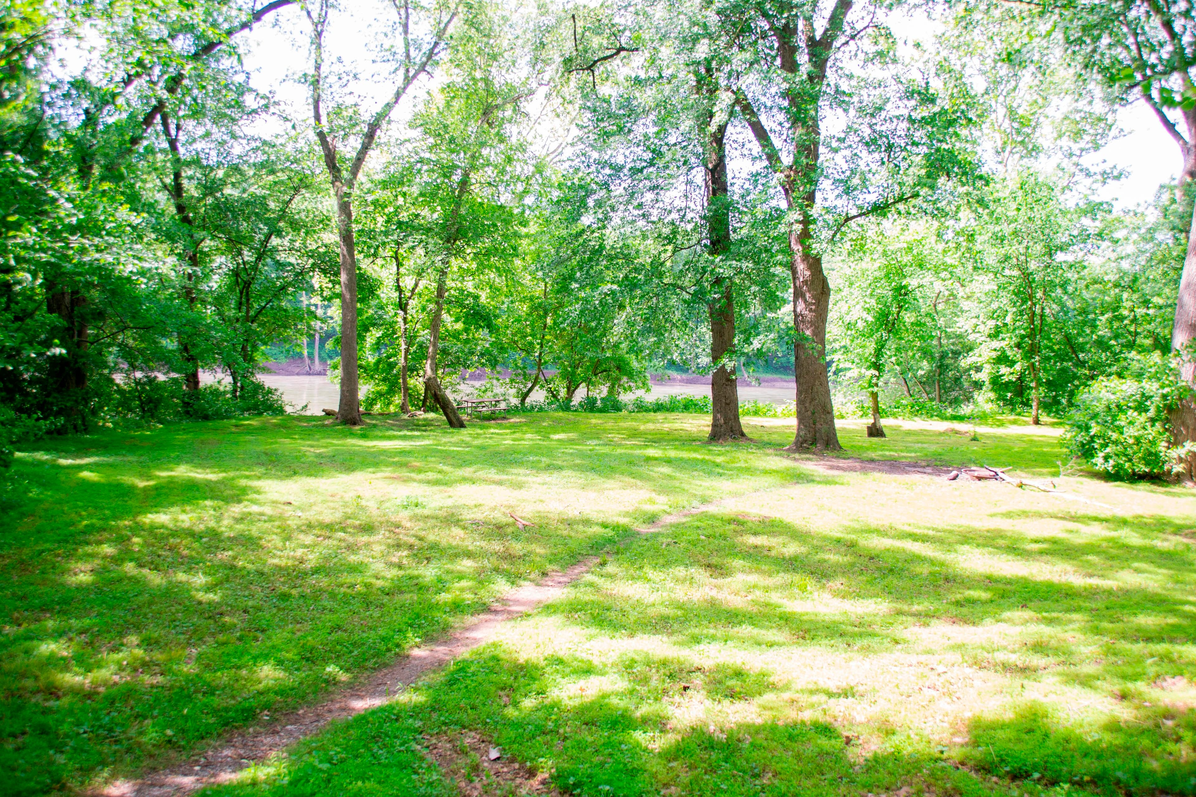
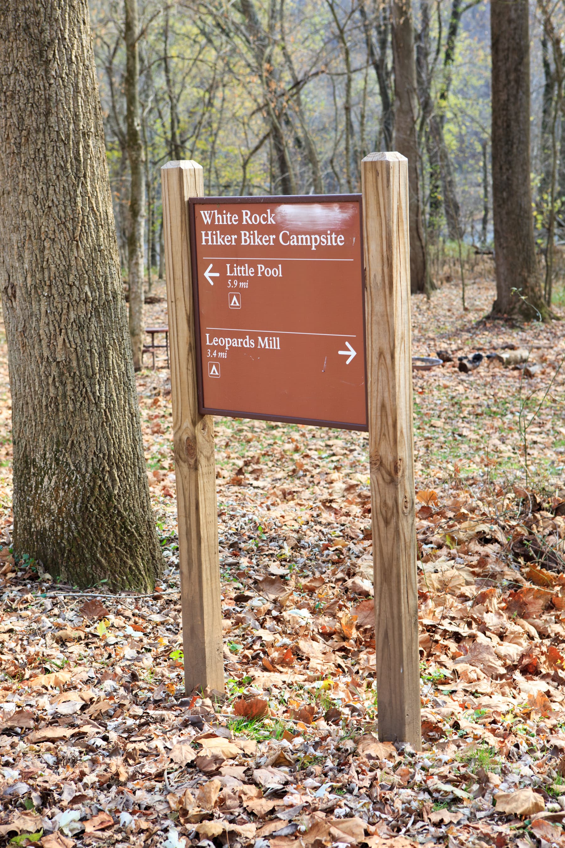
White Rock Hiker-Biker Campsite
Campground · MD
19.6 mi out & back · 59 ft gain · 438 ft high point · Easy · Gravel
Via Western Maryland Rail Trail to Towpath, the Potomac Heritage National Scenic Trail, Towpath, Milepost 124-125, Towpath, Milepost 125-126, Towpath, Milespost 126-127, Towpath Milepost 127-128, Towpath, Milepost 128-129, Towpath, Milepost 129-130, Towpath, Milepost 131-132, and Towpath, Milepost 132-133 (8.8 mi)
In Chesapeake & Ohio Canal National Historical Park · MD · National Park Service
Towpath Milepost 133-134 is a 19.6-mile out-and-back route on the canal towpath in Chesapeake & Ohio Canal National Historical Park near Roundtop Hill and Fluted Rocks.
59 ft of gain round trip.
The closest places to sleep, measured from the trailhead.
Ranked the same way, within twenty-five miles.
What the trail reaches, measured from the start.
The hike from its start, the approach dashed. Drag with two fingers, or hold a key to zoom.
Trail data: USFS, NPS, © OpenStreetMap contributors (ODbL). Elevation: USGS 3DEP via Mapzen terrain tiles. Nearby reading: Wikipedia. Download the trail and feature data.
Campground · MD
4.7 mi loop · 839 ft gain · Moderate
WV · Camp 7 mi away
Hikes that read like this one, wherever they are.
21.6 mi out & back · 65 ft gain · Moderate
Chesapeake & Ohio Canal National Historical Park · Camp 2 mi away
23.6 mi out & back · 65 ft gain · Moderate
Chesapeake & Ohio Canal National Historical Park · Camp 2 mi away
11.7 mi out & back · 25 ft gain · Easy
Chesapeake & Ohio Canal National Historical Park · Camp 2 mi away
7.7 mi out & back · 20 ft gain · Easy
Chesapeake & Ohio Canal National Historical Park · Camp 2 mi away
Today: Mostly Sunny then Scattered Rain Showers · wind 7 to 12 mph W