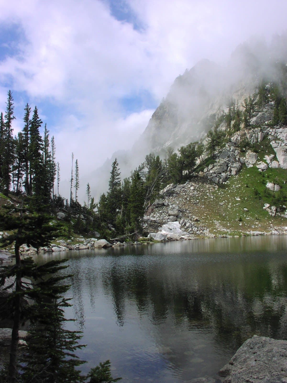
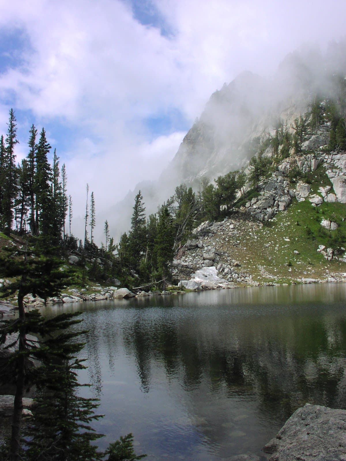
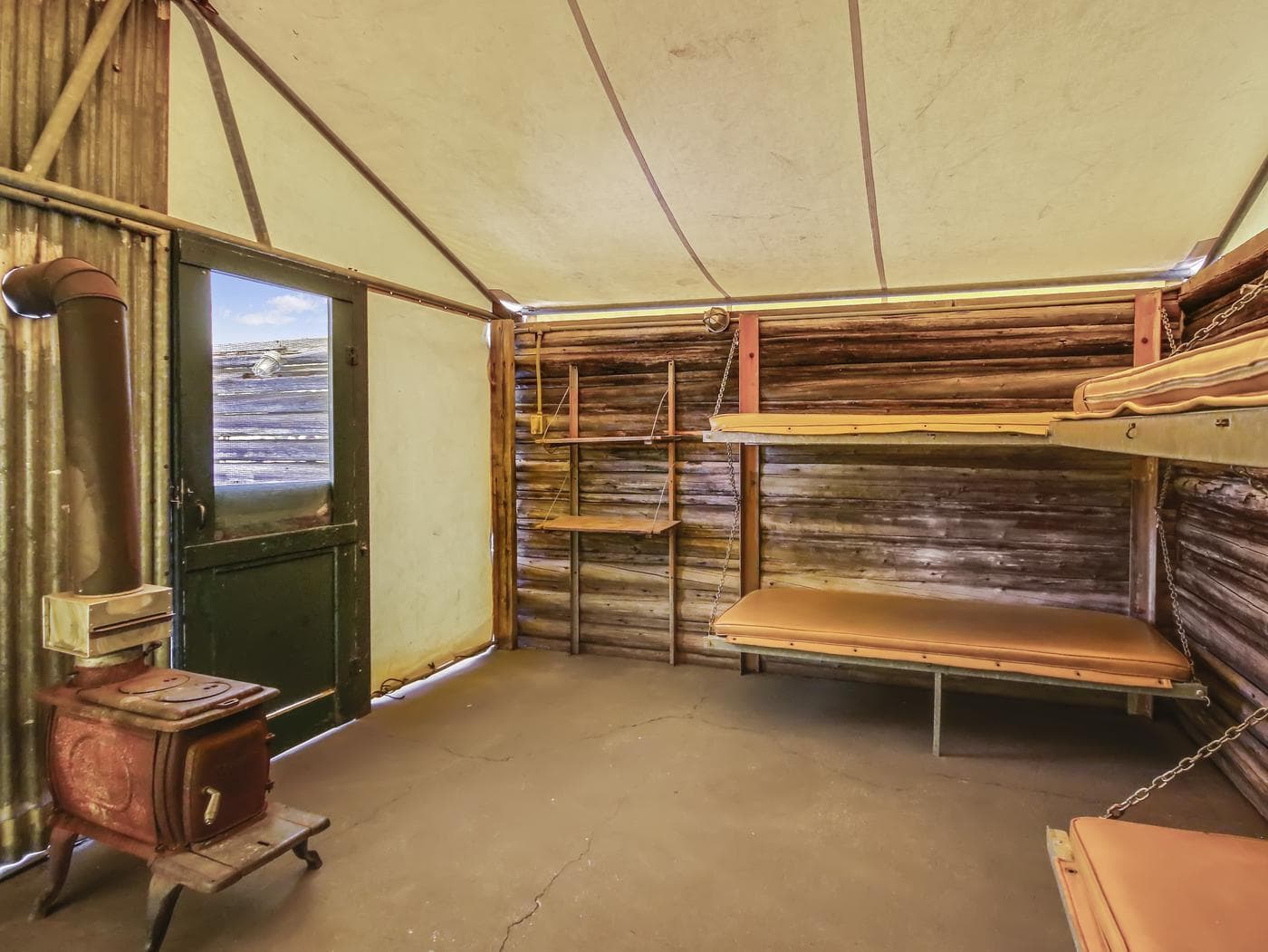
 10.0 mi from the trailhead
Colter Bay Tent Village
Campground · Wyoming
23.5 mi loop · 2,710 ft gain · 7,996 ft high point · Very hard
Loop with the Pacific Creek Trail and the Mink Creek Trail
In Teton National Forest · Wyoming · U.S. Forest Service
This loop uses Pacific Creek Trail and Mink Creek Trail in Teton National Forest, climbing 2,710 feet to 7,996 feet.
2,710 ft of gain, the approach both ways included.
The closest places to sleep, measured from the trailhead.
Ranked the same way, within twenty-five miles.
The hike from its start, the approach dashed. Drag with two fingers, or hold a key to zoom.
Trail data: USFS, NPS, © OpenStreetMap contributors (ODbL). Elevation: USGS 3DEP via Mapzen terrain tiles. Nearby reading: Wikipedia. Download the trail and feature data.
Campground
23.2 mi out & back · 4,493 ft gain · Very hard
Yellowstone National Park · Camp 3 mi away
Hikes that read like this one, wherever they are.
6.1 mi loop · 715 ft gain · Moderate
Teton Wilderness
20.0 mi one way · 2,163 ft gain · Very hard
Teton National Forest · Camp 10 mi away
6.4 mi loop · 1,045 ft gain · Moderate
Teton National Forest · Camp 9 mi away
15.1 mi out & back · 1,923 ft gain · Very hard
Teton Wilderness
Thu: Mostly Sunny · wind 0 to 3 mph ESE
No carrier reports signal at this spot.