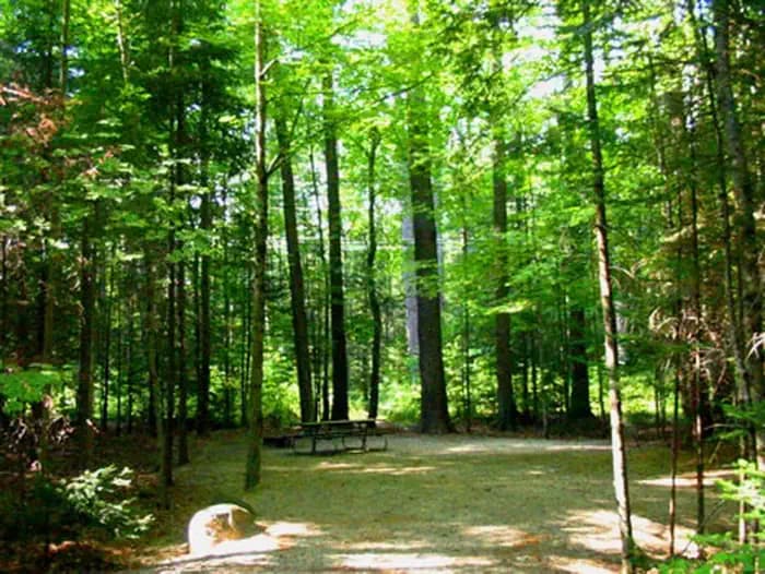
 2.9 mi from the trailhead
Campton Campground
Campground · NH

18.9 mi out & back · 6,166 ft gain · 3,972 ft high point · Very hard
From Smart's Brook trailhead via Pine Flats, Yellow Jacket, Smarts Brook, Sandwich MTN, and the Bennett Street Trail (6.0 mi)
In White Mountain National Forest · NH · OpenStreetMap contributors
Sandwich Mountain Trail is an 18.9 mi out and back from Smart's Brook trailhead in White Mountain National Forest with Sandwich Mountain and Sandwich Dome along the route, climbing 6,166 ft.
6,166 ft of gain round trip.
The closest places to sleep, measured from the trailhead.
Ranked the same way, within twenty-five miles.
What the trail reaches, measured from the start.
The hike from its start, the approach dashed. Drag with two fingers, or hold a key to zoom.
Trail data: USFS, NPS, © OpenStreetMap contributors (ODbL). Elevation: USGS 3DEP via Mapzen terrain tiles. Nearby reading: Wikipedia. Photos: Wikimedia Commons contributors, licensed as shown on each photo. Download the trail and feature data.
Campground · NH
10.4 mi out & back · 3,758 ft gain · Very hard
White Mountain National Forest · Camp 3 mi away
Today: Partly Sunny · wind 0 to 5 mph SW
No carrier reports signal at this spot.
Hikes that read like this one, wherever they are.

18.7 mi out & back · 6,140 ft gain · Very hard
White Mountain National Forest · Camp 3 mi away
21.2 mi out & back · 6,204 ft gain · Very hard
White Mountain National Forest · Camp 3 mi away

19.3 mi out & back · 6,190 ft gain · Very hard
White Mountain National Forest · Camp 3 mi away
7.0 mi out & back · 1,296 ft gain · Hard
White Mountain National Forest · Camp 3 mi away


