1 mi from you
Zuni-Acoma Trail
- Summits Encerrito
- Inside El Malpais National Monument
2.3 mi out & back · 72 ft gain · Easy
El Malpais National Monument
16.8 mi loop · 678 ft gain · 7,485 ft high point · Hard · Mixed surface
From Encerrito Trailhead, a loop with the Zuni-Acoma Trail, CDT jkcCC, CDT - New Mexico Section, and the Continental Divide National Scenic Trail
In El Malpais National Monument · New Mexico · National Park Service
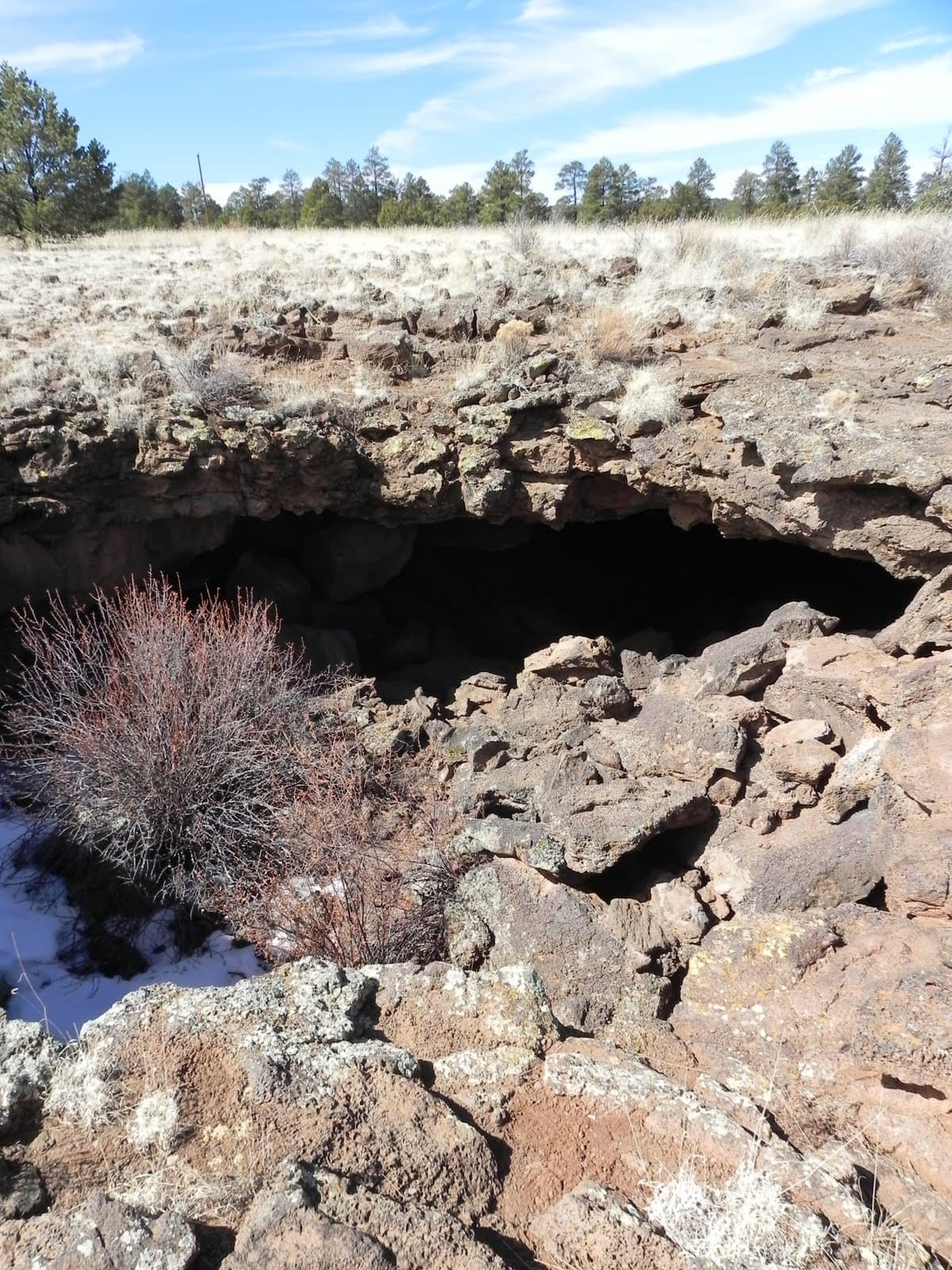
El Calderon Loop is a 16.8-mile loop in El Malpais National Monument from Encerrito Trailhead, passing viewpoints at lava caves, Lava Trench, El Calderon viewpoint, and El Calderon cinder cone.
678 ft of gain, the approach both ways included.
Ranked the same way, within twenty-five miles.
What the trail reaches, measured from the start.
The hike from its start, the approach dashed. Drag with two fingers, or hold a key to zoom.
Trail data: USFS, NPS, © OpenStreetMap contributors (ODbL). Elevation: USGS 3DEP via Mapzen terrain tiles. Nearby reading: Wikipedia. Photos: Wikimedia Commons contributors, licensed as shown on each photo. Download the trail and feature data.
16.3 mi out & back · 730 ft gain · Hard
El Malpais National Monument
Hikes that read like this one, wherever they are.
16.3 mi out & back · 730 ft gain · Hard
El Malpais National Monument

52.7 mi one way · 2,602 ft gain · Very hard
El Malpais National Monument
15.6 mi out & back · 242 ft gain · Moderate
El Malpais National Monument
1.0 mi loop · 27 ft gain · Easy
El Malpais National Monument
No carrier reports signal at this spot.
Thu: Sunny · wind 0 to 5 mph NE