 0.3 mi from the trailhead
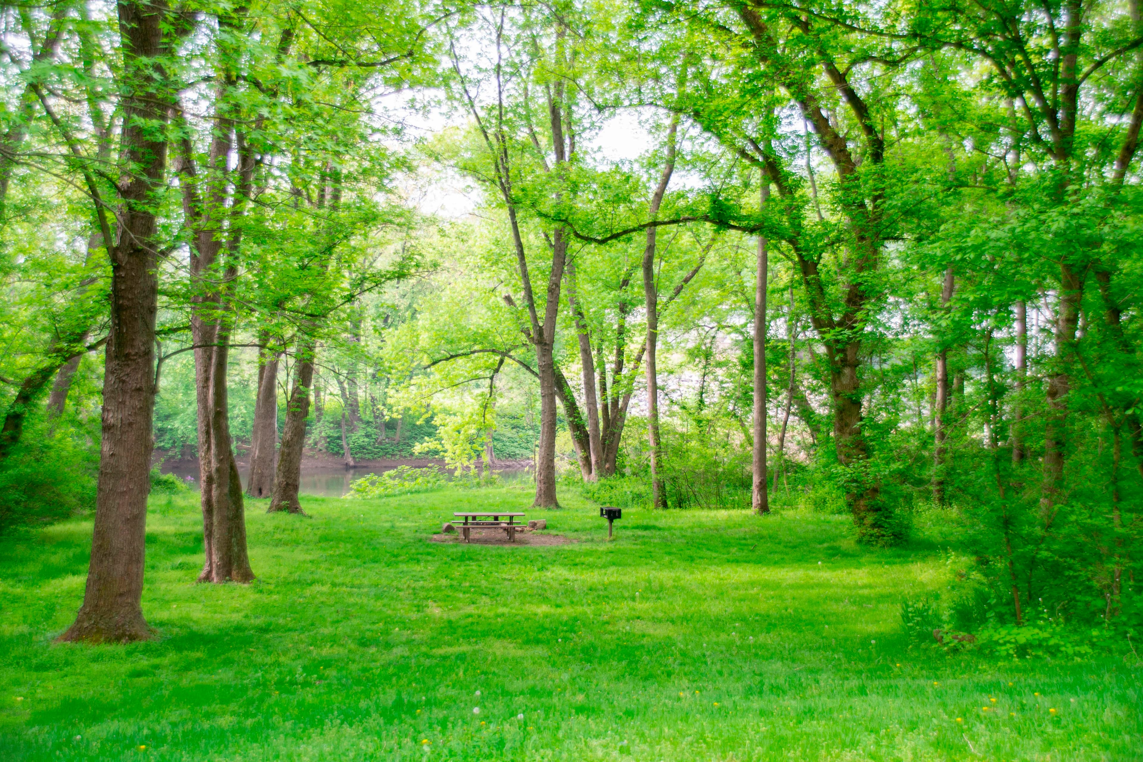
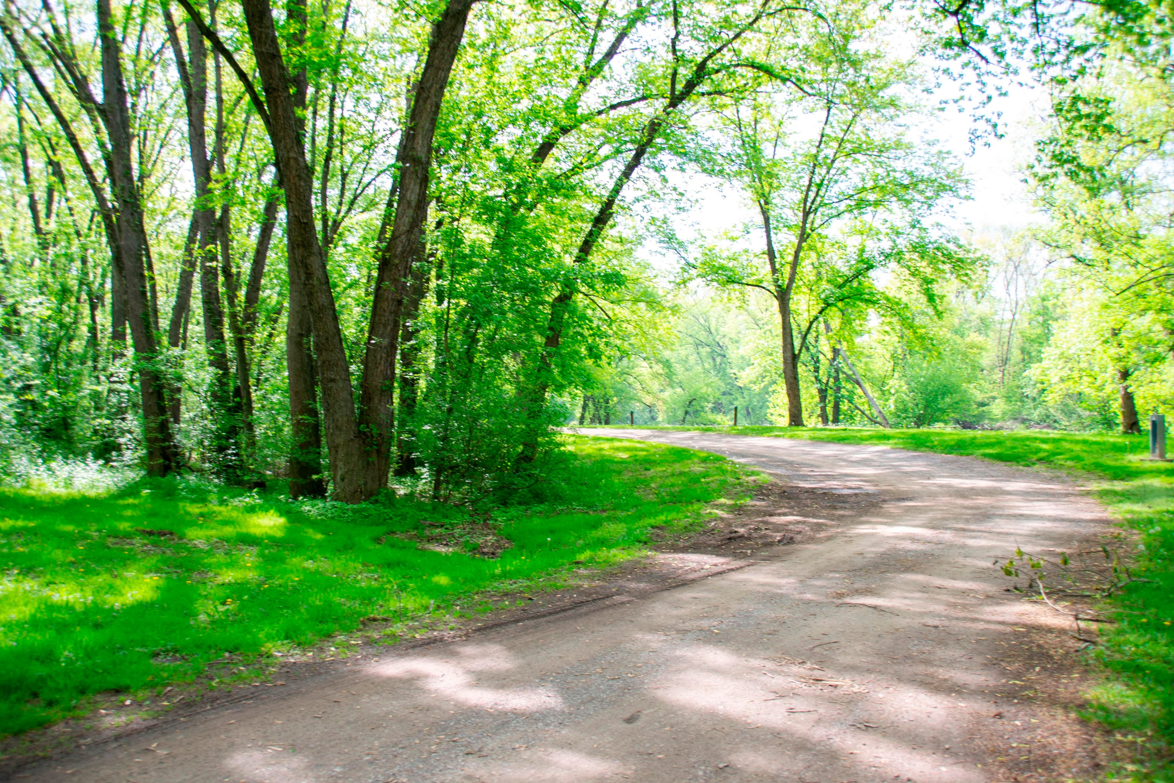
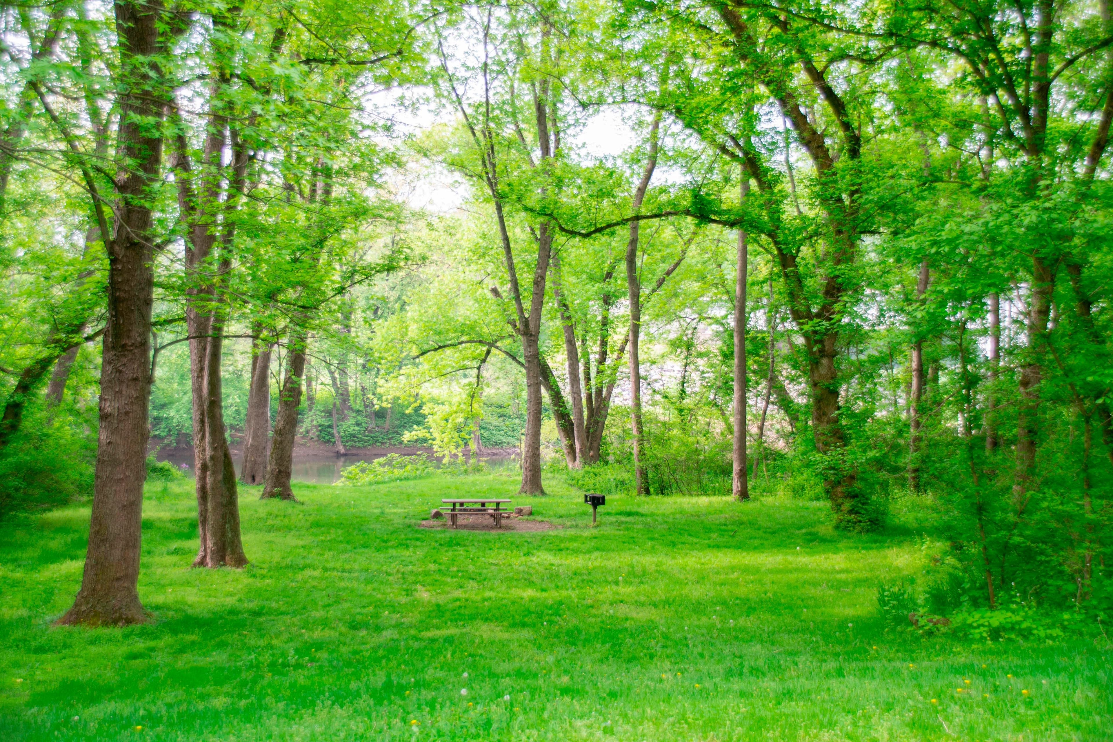
Irons Mountain Hiker-Biker Campsite
Campground · MD
15.5 mi out & back · 50 ft gain · 612 ft high point · Easy · Gravel
Via the Lock 75 Path, the Potomac Heritage National Scenic Trail, Towpath, Milepost 175-176, Towpath, Milepost 174-175, Towpath, Milepost 173-174, Towpath, Milepost 172-173, Towpath, Milepost 171-172, and Towpath, Milepost 169-170 (6.7 mi)
In Chesapeake & Ohio Canal National Historical Park · MD · National Park Service
Towpath, Milepost 168-169 runs 15.4 miles out and back along the Chesapeake & Ohio Canal National Historical Park via Lock 75 Path and Potomac Heritage National Scenic Trail.
50 ft of gain round trip.
What the trail reaches, measured from the start.
The hike from its start, the approach dashed. Drag with two fingers, or hold a key to zoom.
Trail data: USFS, NPS, © OpenStreetMap contributors (ODbL). Elevation: USGS 3DEP via Mapzen terrain tiles. Nearby reading: Wikipedia. Download the trail and feature data.
The closest places to sleep, measured from the trailhead.
Ranked the same way, within twenty-five miles.
 9 mi from you
5.2 mi loop · 310 ft gain · Moderate
MD · Camp 7 mi away
16.4 mi one way · 1,451 ft gain · Very hard
MD · Camp 13 mi away
 24 mi from you
4.7 mi loop · 839 ft gain · Moderate
WV · Camp 7 mi away
6.0 mi loop · 726 ft gain · Moderate
WV · Camp 8 mi away
255.5 mi one way · 6,131 ft gain · Very hard
MD · Camp 1 mi away
19.9 mi out & back · 1,739 ft gain · Very hard
WV · Camp 8 mi away
Today: Sunny · wind 8 to 15 mph W
Hikes that read like this one, wherever they are.
13.4 mi out & back · 50 ft gain · Easy
Chesapeake & Ohio Canal National Historical Park · Camp under a mile away
11.4 mi out & back · 50 ft gain · Easy
Chesapeake & Ohio Canal National Historical Park · Camp under a mile away
16.7 mi out & back · 57 ft gain · Easy
Chesapeake & Ohio Canal National Historical Park · Camp under a mile away
17.8 mi out & back · 64 ft gain · Easy
Chesapeake & Ohio Canal National Historical Park · Camp under a mile away