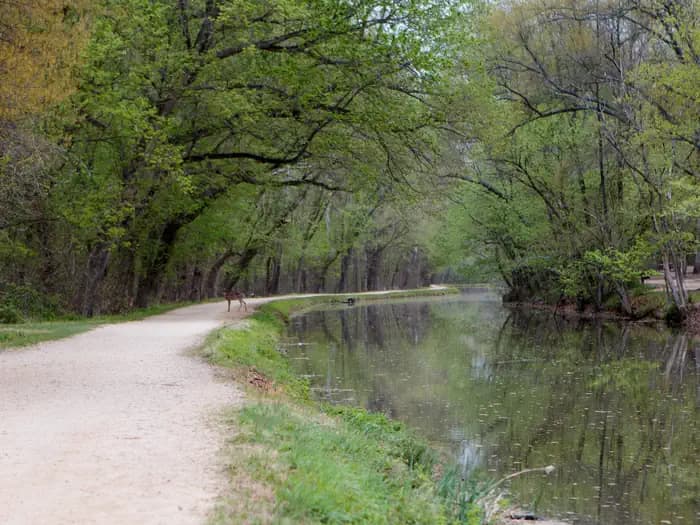
 0.6 mi from the trailhead
Marsden Tract Group Campsite
Campground · MD

3.5 mi out & back · 86 ft gain · 155 ft high point · Easy · Gravel
Via Berma Road, Connector from Anglers Inn to Towpath, the Potomac Heritage National Scenic Trail, Towpath, Mile 12-13, and Widewater Waste Weir Bridge 3100-059S (0.7 mi)
In Chesapeake & Ohio Canal National Historical Park · MD · National Park Service
Towpath, Milepost 13-14 in Chesapeake & Ohio Canal National Historical Park is 3.5 mi out and back to viewpoints and waterfalls near Great Falls and overlooks.
86 ft of gain round trip.
The closest places to sleep, measured from the trailhead.
Ranked the same way, within twenty-five miles.
What the trail reaches, measured from the start.
The hike from its start, the approach dashed. Drag with two fingers, or hold a key to zoom.
Trail data: USFS, NPS, © OpenStreetMap contributors (ODbL). Elevation: USGS 3DEP via Mapzen terrain tiles. Nearby reading: Wikipedia. Photos: Wikimedia Commons contributors, licensed as shown on each photo. Download the trail and feature data.
Campground
0.0 mi of trails · Easy
Great Falls Park · Camp 2 mi away
Hikes that read like this one, wherever they are.
3.5 mi out & back · 79 ft gain · Easy
Chesapeake & Ohio Canal National Historical Park · Camp 2 mi away
6.3 mi out & back · Easy
Chesapeake & Ohio Canal National Historical Park · Camp 2 mi away
11.8 mi out & back · 200 ft gain · Moderate
Chesapeake & Ohio Canal National Historical Park · Camp 2 mi away

8.7 mi out & back · 79 ft gain · Easy
Chesapeake & Ohio Canal National Historical Park · Camp 2 mi away
Sat: Partly Sunny · wind 8 to 16 mph NW


