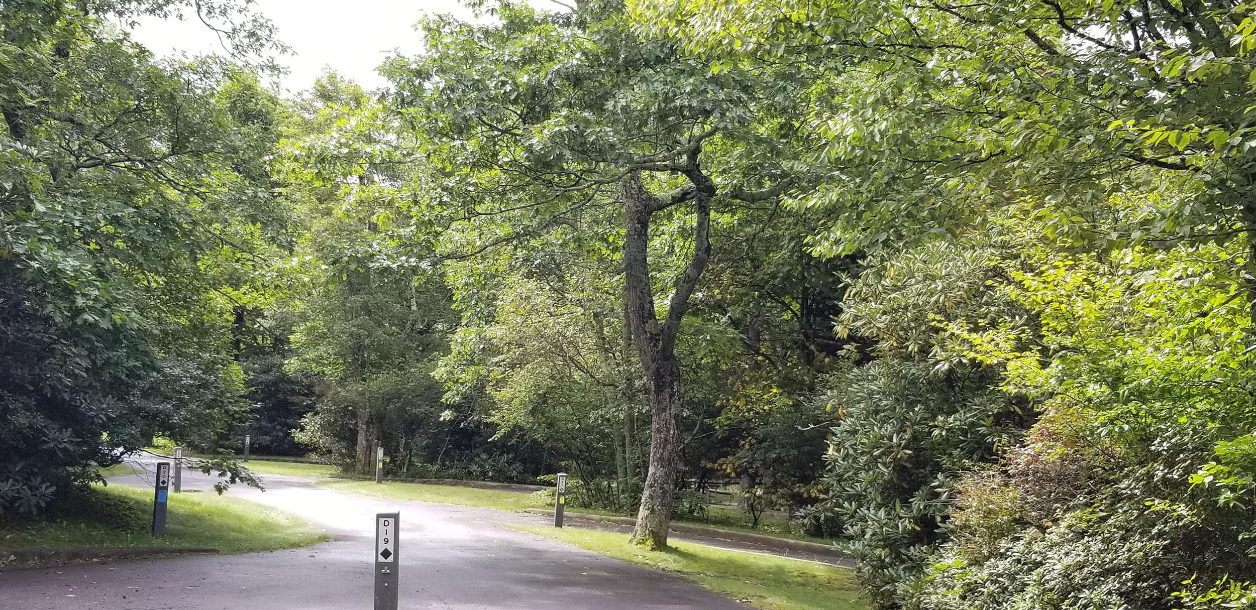
0.1 mi from the trailhead
Mount Pisgah Campground
Campground · NC

60.6 mi one way · 13,207 ft gain · 5,964 ft high point · Very hard
In Blue Ridge Parkway · NC · OpenStreetMap contributors
Mountains-to-Sea Trail: Segment 2 is a 60.6 mi one way route along the Blue Ridge Parkway ending at Pedestrian Overlook, with a high point of 5,964 ft. The trail passes Balsam Gap, Black Mountain, Green Knob, Silvermine Bald, Woodfin Cascades, and numerous viewpoints.
13,207 ft of gain and 12,282 ft of descent.
The closest places to sleep, measured from the trailhead.
Ranked the same way, within twenty-five miles.
What the trail reaches, measured from the start.
The route at the trailhead. Drag with two fingers, or hold a key to zoom.
Trail data: USFS, NPS, © OpenStreetMap contributors (ODbL). Elevation: USGS 3DEP via Mapzen terrain tiles. Nearby reading: Wikipedia. Photos: Wikimedia Commons contributors, licensed as shown on each photo. Download the trail and feature data.
Campground · NC
4.4 mi out & back · 1,237 ft gain · Moderate
Blue Ridge Parkway · Camp under a mile away
Hikes that read like this one, wherever they are.
86.0 mi one way · 14,882 ft gain · Very hard
Blue Ridge Parkway · Camp 3 mi away
44.4 mi one way · 10,708 ft gain · Very hard
Blue Ridge Parkway · Camp 3 mi away
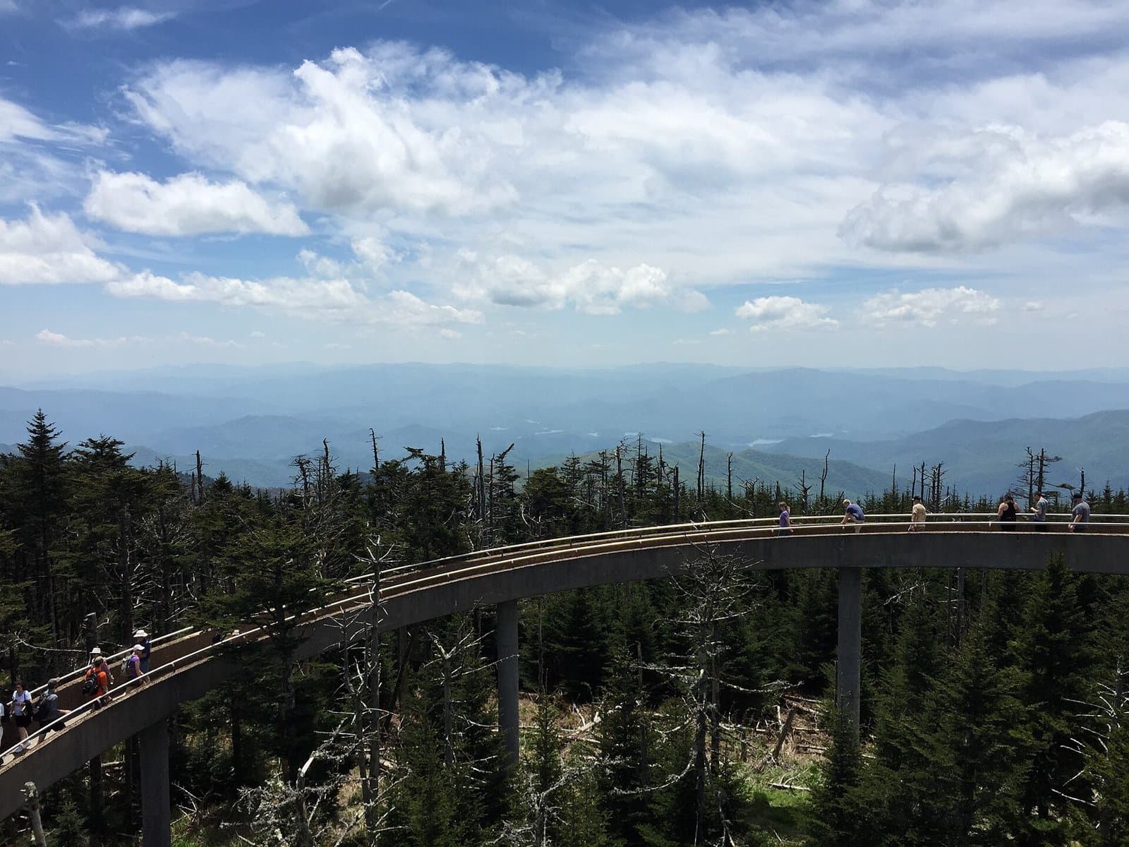
45.5 mi one way · 10,395 ft gain · Very hard
Blue Ridge Parkway · Camp 7 mi away
5.1 mi out & back · 1,221 ft gain · Moderate
Blue Ridge Parkway · Camp 10 mi away
Today: Partly Sunny · wind 5 mph ESE