6 mi from you
Sierra Trail
- Ends at Seele
- 1,014 ft of climbing
10.8 mi loop · 974 ft gain · Hard
NJ
7.5 mi out & back · 1,308 ft gain · 545 ft high point · Hard
Via Rahway Low Ext, the Rahway Trail, and the West Connector (1.3 mi)
NJ · OpenStreetMap contributors
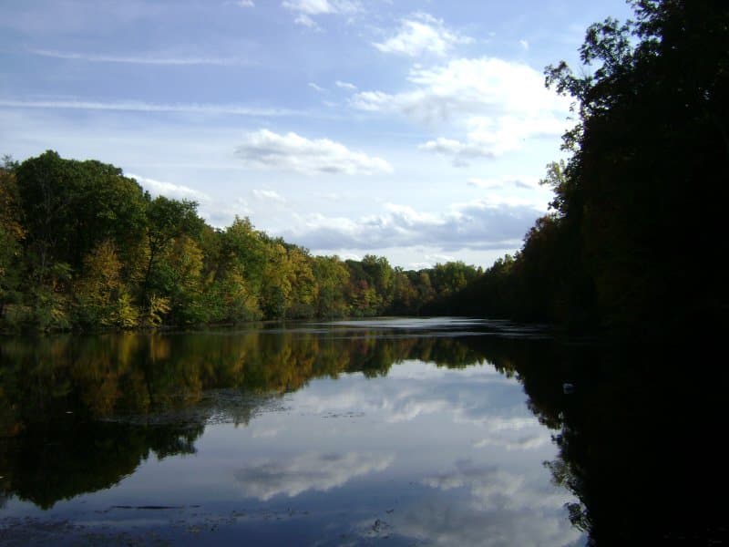
The Elmdale Trail is a 7.5 mi out and back route to Diamond Mill Pond that climbs 1,308 ft via Rahway Low Ext and Rahway Trail.
1,308 ft of gain round trip.
Ranked the same way, within twenty-five miles.
What the trail reaches, measured from the start.
The hike from its start, the approach dashed. Drag with two fingers, or hold a key to zoom.
Trail data: USFS, NPS, © OpenStreetMap contributors (ODbL). Elevation: USGS 3DEP via Mapzen terrain tiles. Nearby reading: Wikipedia. Download the trail and feature data.
14.4 mi loop · 1,955 ft gain · Very hard
NJ
Hikes that read like this one, wherever they are.
4.6 mi out & back · 424 ft gain · Moderate
NJ
17.7 mi out & back · 1,617 ft gain · Very hard
NJ
12.0 mi out & back · 1,216 ft gain · Hard
NJ
14.1 mi out & back · 2,053 ft gain · Very hard
NJ
Thu: Mostly Sunny · wind 2 to 8 mph SW
No carrier reports signal at this spot.