 22 mi from you
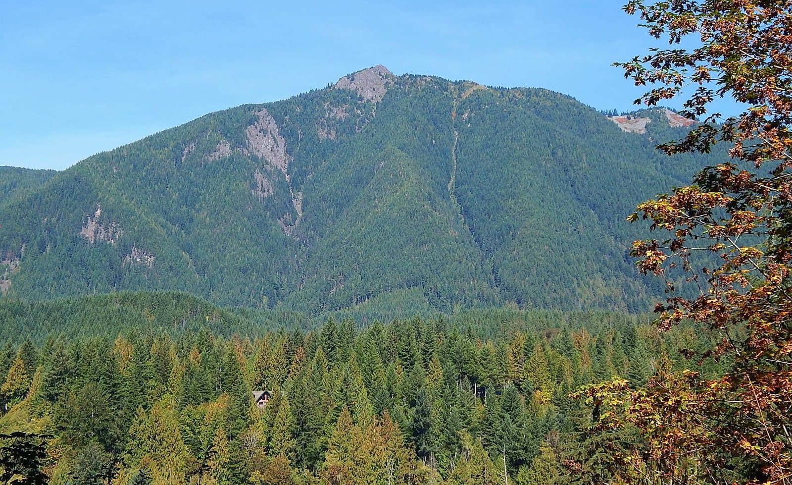
Mount Teneriffe Trail
- Summits Mount Teneriffe
- 4,853 ft of climbing
12.9 mi out & back · 4,853 ft gain · Very hard
Washington · Camp 9 mi away
20.8 mi out & back · 418 ft gain · 270 ft high point · Hard
Via the Bridle Crest Trail and the SR 520 Trail (1.0 mi)
Washington · OpenStreetMap contributors
The Sammamish River Trail is a 20.8-mile out and back route using Bridle Crest Trail and SR 520 Trail near a waterfall, viewing platform, and Norway Hill.
418 ft of gain round trip.
Ranked the same way, within twenty-five miles.
What the trail reaches, measured from the start.
The hike from its start, the approach dashed. Drag with two fingers, or hold a key to zoom.
Trail data: USFS, NPS, © OpenStreetMap contributors (ODbL). Elevation: USGS 3DEP via Mapzen terrain tiles. Nearby reading: Wikipedia. Download the trail and feature data.
8.7 mi loop · 3,969 ft gain · Very hard
Washington
Hikes that read like this one, wherever they are.
22.2 mi out & back · 1,732 ft gain · Very hard
Washington
22.2 mi out & back · 2,489 ft gain · Very hard
Washington

17.6 mi out & back · 1,846 ft gain · Very hard
Washington
14.1 mi out & back · 1,620 ft gain · Hard
Washington
Today: Light Rain · wind 5 to 8 mph SSE


