 6 mi from you
Skylight Trail
- Summits Mount Skylight
- 4,092 ft of climbing
16.4 mi out & back · 4,092 ft gain · Very hard
NY
20.5 mi out & back · 4,150 ft gain · 5,337 ft high point · Very hard
From Lot 1 via the Van Hoevenberg Trail, the Marcy Dam Truck Trail, the Avalanche Pass Trail, and the Lake Colden Trail (6.1 mi)
NY · OpenStreetMap contributors
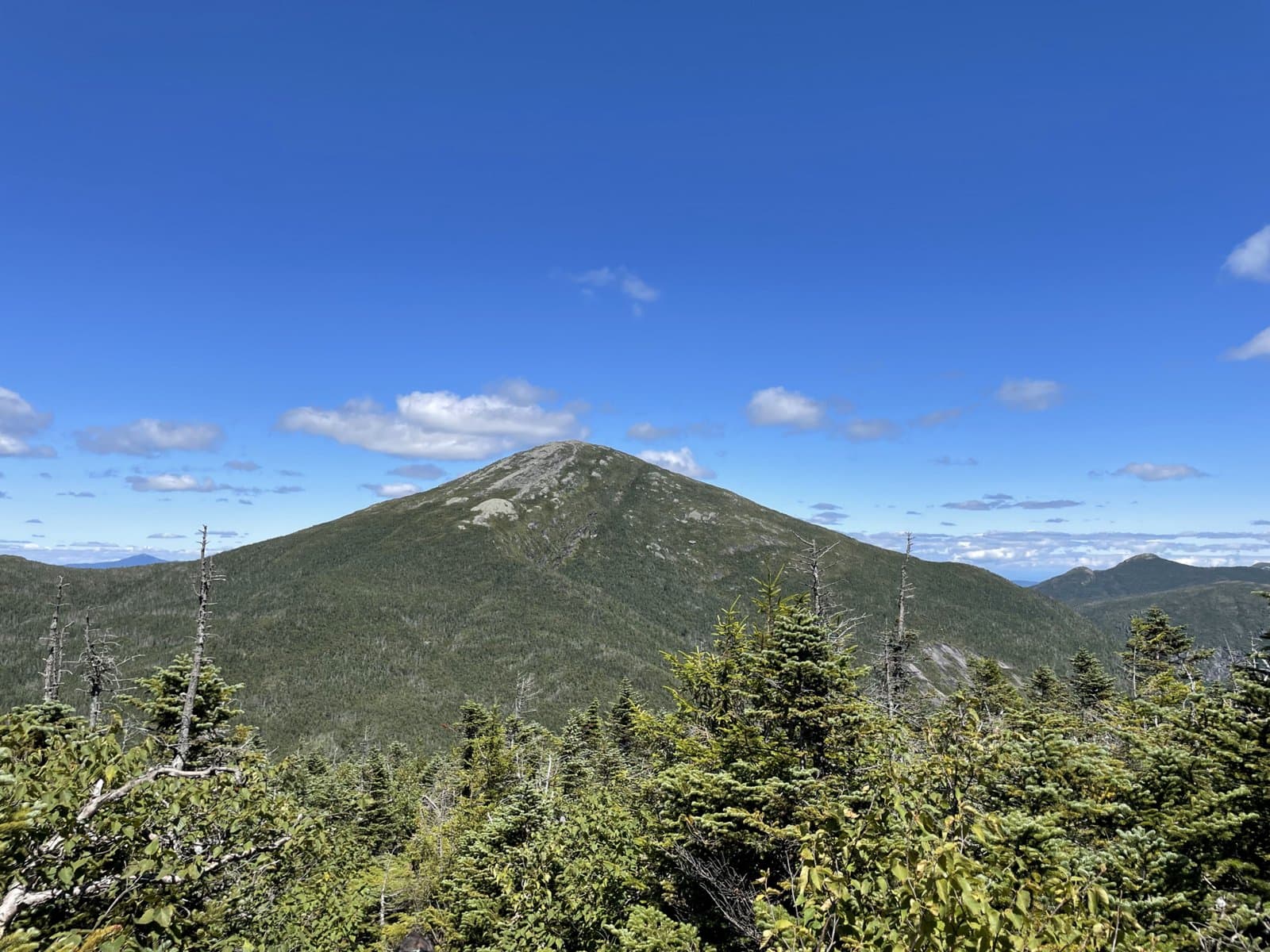
Mount Marcy Trail is a 20.4-mile round trip from Lot 1 to Mount Marcy, the highest peak in New York at 5,337 feet, ascending 4,150 feet via Avalanche Pass.
4,150 ft of gain round trip.
What the trail reaches, measured from the start.
The hike from its start, the approach dashed. Drag with two fingers, or hold a key to zoom.
Trail data: USFS, NPS, © OpenStreetMap contributors (ODbL). Elevation: USGS 3DEP via Mapzen terrain tiles. Nearby reading: Wikipedia. Photos: Wikimedia Commons contributors, licensed as shown on each photo. Download the trail and feature data.
Ranked the same way, within twenty-five miles.
6 mi from you16.4 mi out & back · 4,092 ft gain · Very hard
NY
 5 mi from you
15.6 mi out & back · 3,982 ft gain · Very hard
NY
 7 mi from you
18.5 mi out & back · 5,895 ft gain · Very hard
NY
 6 mi from you
16.2 mi out & back · 4,040 ft gain · Very hard
NY
 3 mi from you
14.1 mi out & back · 3,600 ft gain · Very hard
NY
 4 mi from you
13.9 mi out & back · 3,354 ft gain · Very hard
NY
Sun: Chance Snow Showers · wind 5 to 8 mph NW
No carrier reports signal at this spot.
Hikes that read like this one, wherever they are.
14.1 mi out & back · 3,600 ft gain · Very hard
NY

19.6 mi out & back · 4,495 ft gain · Very hard
NY

13.6 mi out & back · 3,353 ft gain · Very hard
NY
10.9 mi out & back · 1,270 ft gain · Hard
NY