1.0 mi from the trailhead
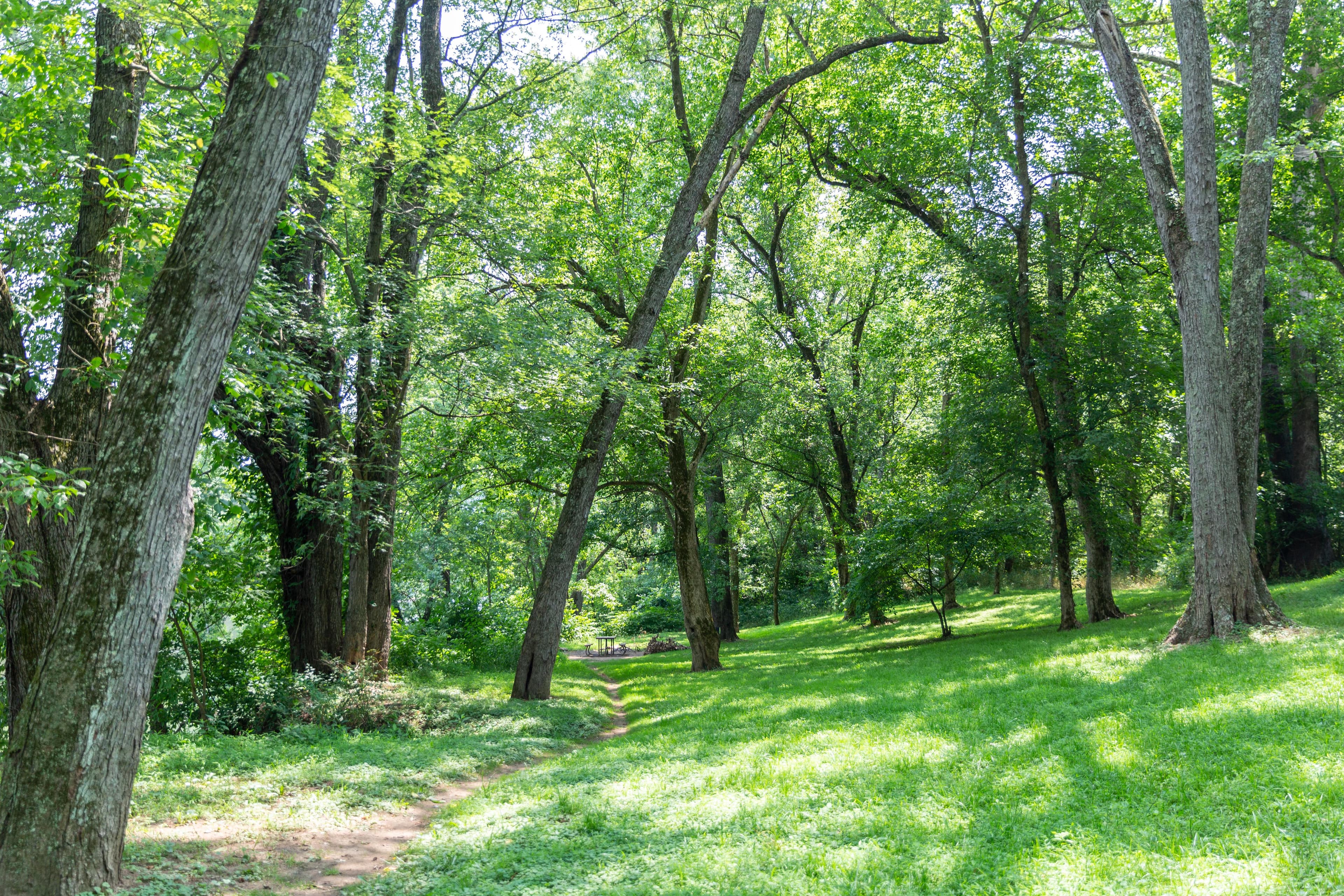
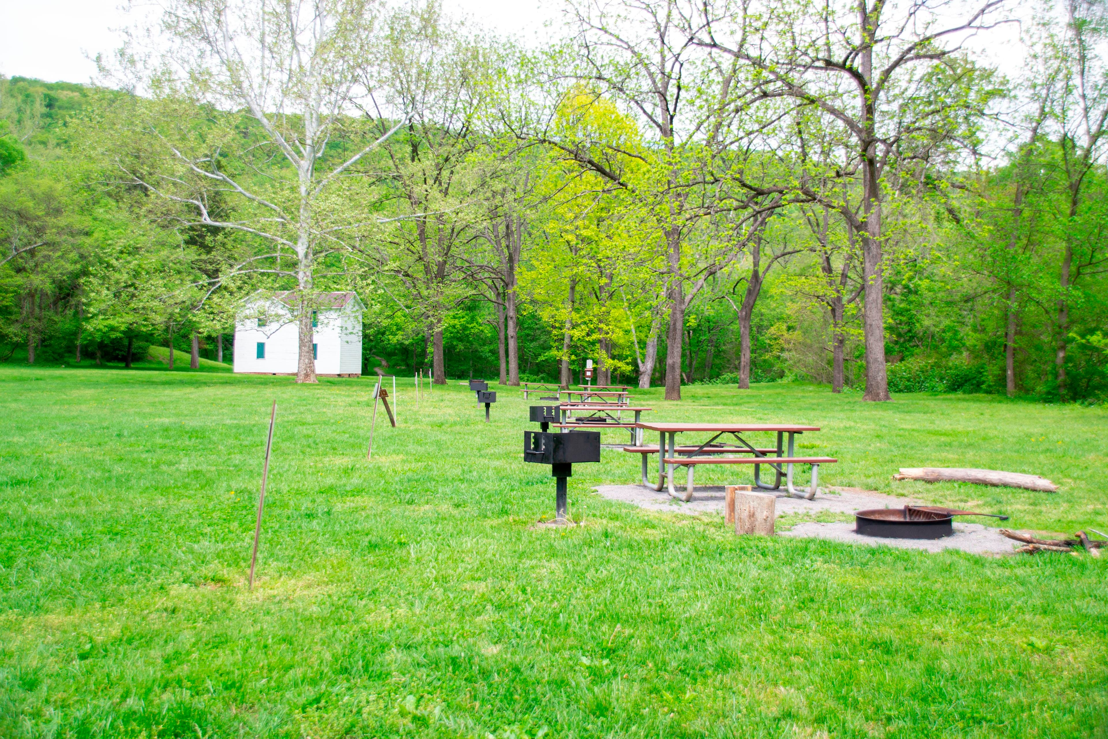
Sorrel Ridge Hiker-Biker Overnight (HBO) Campsite
Campground · MD
17.5 mi out & back · 2,022 ft gain · 1,655 ft high point · Very hard
From Paw Paw Tunnel via ADT - Maryland - Seg 4, the Potomac Heritage National Scenic Trail, Towpath, Milepost 154-155, and Towpath, Milepost 153-154 (1.8 mi)
In Chesapeake & Ohio Canal National Historical Park · MD · OpenStreetMap contributors
Great Eastern Trail - Green Ridge State Forest extends 17.5 mi out and back from Paw Paw Tunnel with 2,022 ft of climb. Banner's Overlook viewpoint lies along the route.
2,022 ft of gain round trip.
The closest places to sleep, measured from the trailhead.
Ranked the same way, within twenty-five miles.
What the trail reaches, measured from the start.
The hike from its start, the approach dashed. Drag with two fingers, or hold a key to zoom.
Trail data: USFS, NPS, © OpenStreetMap contributors (ODbL). Elevation: USGS 3DEP via Mapzen terrain tiles. Nearby reading: Wikipedia. Download the trail and feature data.
Campground · MD
4.7 mi loop · 839 ft gain · Moderate
WV · Camp 7 mi away
Hikes that read like this one, wherever they are.
28.8 mi one way · 149 ft gain · Moderate
Chesapeake & Ohio Canal National Historical Park · Camp 2 mi away
26.9 mi one way · 5,442 ft gain · Very hard
George Washington National Forest · Camp 14 mi away
119.8 mi one way · 18,078 ft gain · Very hard
WV
2.8 mi out & back · 774 ft gain · Moderate
Chesapeake & Ohio Canal National Historical Park · Camp under a mile away
Thu: Patchy Fog then Light Rain Likely · wind 1 to 8 mph NW