 23 mi from you
Branch Brook Trail
- Ends at Black Rock Pond
- 2,336 ft of climbing
10.0 mi out & back · 2,336 ft gain · Hard
CT · Camp 5 mi away

8.0 mi loop · 2,461 ft gain · 1,373 ft high point · Hard
Loop with the Cobble Mountain Trail
CT · OpenStreetMap contributors
Macedonia Ridge Trail is an 8.0 mi loop via Cobble Mountain Trail that reaches Cobble Mountain, Hilltop Pond, and ascends 2,461 ft.
2,461 ft of gain, the approach both ways included.
What the trail reaches, measured from the start.
The hike from its start, the approach dashed. Drag with two fingers, or hold a key to zoom.
Trail data: USFS, NPS, © OpenStreetMap contributors (ODbL). Elevation: USGS 3DEP via Mapzen terrain tiles. Nearby reading: Wikipedia. Photos: Wikimedia Commons contributors, licensed as shown on each photo. Download the trail and feature data.
Ranked the same way, within twenty-five miles.
23 mi from you10.0 mi out & back · 2,336 ft gain · Hard
CT · Camp 5 mi away
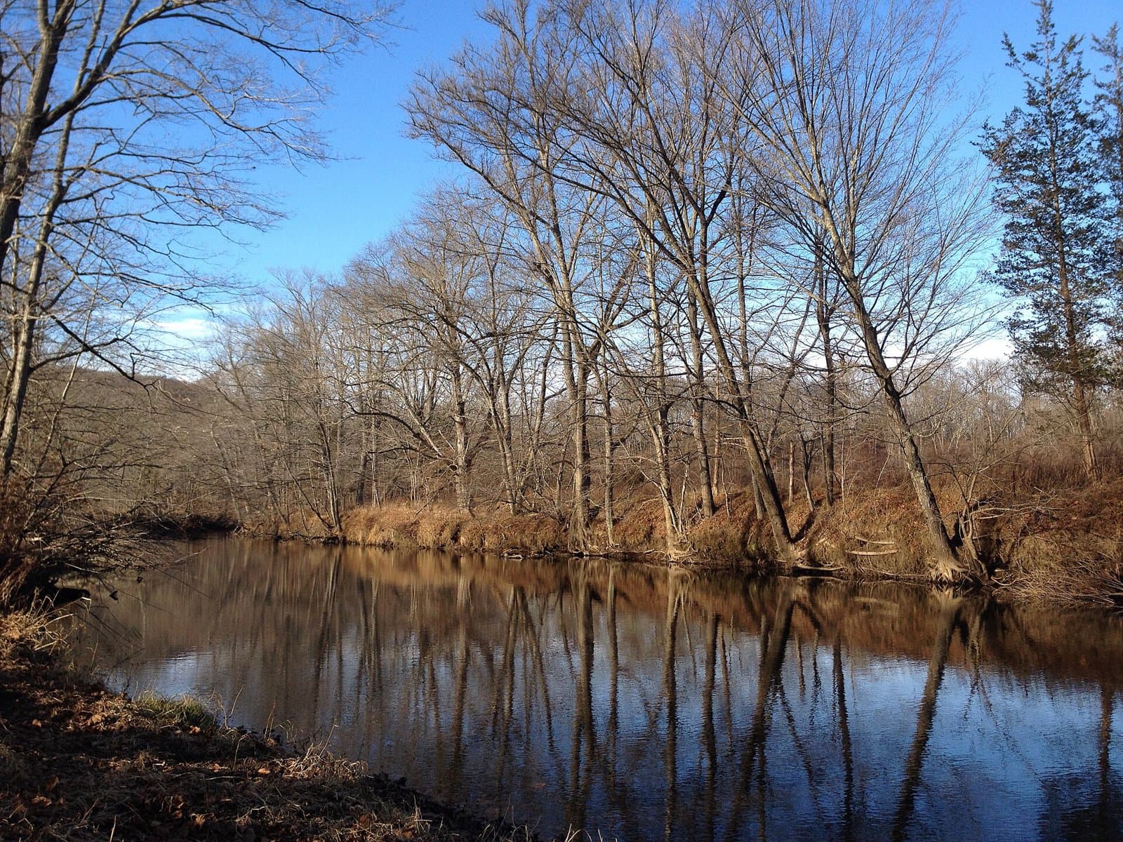 24 mi from you
1.6 mi loop · 411 ft gain · Easy
CT · Camp 9 mi away
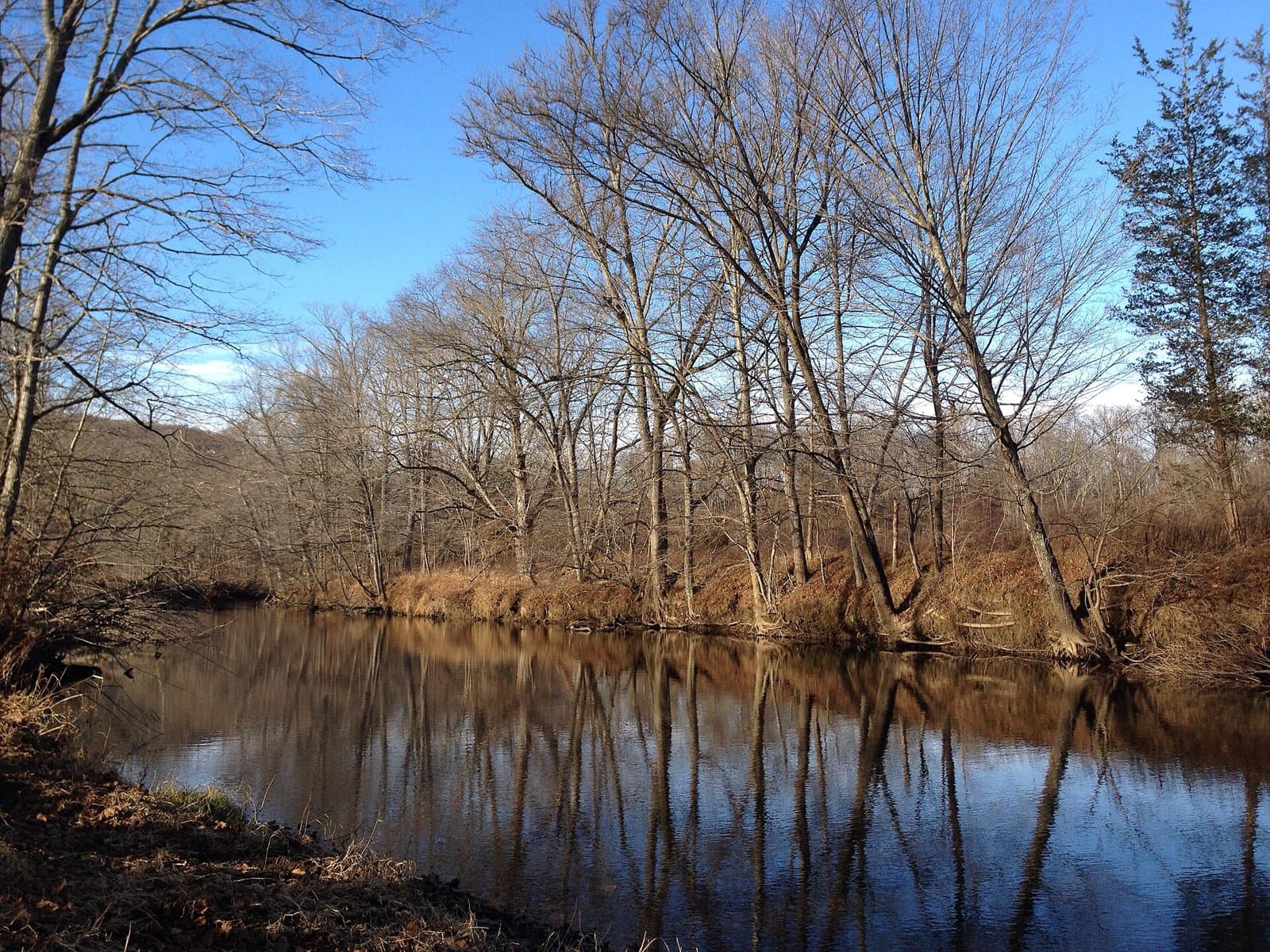 24 mi from you
1.3 mi loop · 266 ft gain · Easy
CT · Camp 9 mi away
1.1 mi out & back · 254 ft gain · Easy
CT · Camp 7 mi away
6.1 mi out & back · 1,789 ft gain · Hard
CT
1.3 mi out & back · 391 ft gain · Easy
NY
Thu: Rain Showers · wind 8 mph S
No carrier reports signal at this spot.
Hikes that read like this one, wherever they are.
1.8 mi out & back · 680 ft gain · Easy
CT
1.9 mi loop · 375 ft gain · Easy
CT
8.4 mi out & back · 1,610 ft gain · Hard
CT · Camp 6 mi away
58.8 mi one way · 10,004 ft gain · Very hard
CT